
Pauparelle

Key facts
- Distance
- 11.8 km
- Ascent
- +459 m
- Descent
- −395 m
- Estimated time
- 3 hr 30
- hiking
- Difficulty
- Moderate
- official rating
- Route
- Loop
- back to the start
Profile and gradient
- under 10%
- 10 to 20%
- over 20%
Gradient along the route: 8.0 km under 10%, 3.6 km at 10 to 20% and 0.3 km over 20%. Elevation from 715 m to 1,028 m over 11.8 km.
Description
This trail takes you from the arid Causses plateau to the foothills at Le Puech Pounchut, and lets you discover the upper Jonte valley with all its contrasts. From the Champ de Mars car park, take on the right Rue du Commandeur, then on the left Rue du Mgr Maret, cross the bridge and turn right onto Quai Sully. At the end of the street, by the tourism office, take the road towards Florac by turning first right then immediately left. Stay on the road for 200 m. 1) By the small public garden with a stone cross, take the path on the left alongside the high wall. After 250 m, by a tarred road, take the lane on your right that runs along the back of a large building. The path joins up with the D 986, which you cross before taking the steep path opposite for 150 m, where it meets an old track. Turn left onto this until you reach the road leading to Pauparelle. 2) Turn right onto the road to reach the hamlet of Pauparelle. Pass the hamlet on the right and continue straight ahead on a track suitable for motor vehicles. After about 100 m, at a fork, take the steep ascent on the right. After 200 m, the track runs alongside the cliffs of the Causse Méjean plateau. When it parallels the road, keep walking along until you join up with it. 3) Just before the road, go downhill on the right on the old path to the cistern of Salvinsac. The descent finishes by the D 996. 4) Cross it to take a tarred downhill section into the hamlet. Cross the River Jonte and, after the bridge, head towards La cascade campsite. 5) By the campsite, take the track uphill and, after the bend, turn right then left uphill. At the next crossroads, continue straight ahead. At the next fork, turn left uphill. 6) In the pine forest, take the steep descent on the right, which can be slippery (pine needles). At the bottom, take the path on the left (which can be muddy). At the crossroads, turn right onto a road with hairpin bends. 7) Take the tarred road in the middle. From the fountain in the hamlet, you can do a detour downhill to the mediaeval bridge, the Pont des Six Liards. To return to the centre of Meyrueis, go above the Jardin des Cévennes campsite, and turn right then left to reach your starting-point.
Difficulty
Official rating: moderate, by Parc national des Cévennes.
Before you go
- Make sure your equipment is appropriate for the day's weather conditions. Remember that the weather changes quickly in the mountains. Take enough water, wear good shoes and put on a hat. Please close all gates and barriers after yourself.
Getting there
Start: Meyrueis, Meyrueis (48).
Sources
- Track: Parc national des Cévennes, Licence Ouverte 1.0, Licence Ouverte 1.0 (Etalab) (destination.cevennes-parcnational.fr/trek/39803-Pauparelle). Time estimated by GPX Path with the Mac app rule, breaks not included.
- Official elevation gain: 459 m, Parc national des Cévennes
Nearby tracks

 © OpenStreetMap, SRTM · OpenTopoMap (CC-BY-SA)
From Meyrueis to the summit of Mont Aigoual.
Cévennes, Meyrueis (48) · Point to pointOfficial rating by Parc national des Cévennes © OpenStreetMap, SRTM · OpenTopoMap (CC-BY-SA)
O Roquedols, my Roquedols!
Cévennes, Meyrueis (48) · LoopOfficial rating by Parc national des Cévennes © OpenStreetMap, SRTM · OpenTopoMap (CC-BY-SA)
The streams walk
Cévennes, Meyrueis (48) · LoopOfficial rating by Parc national des Cévennes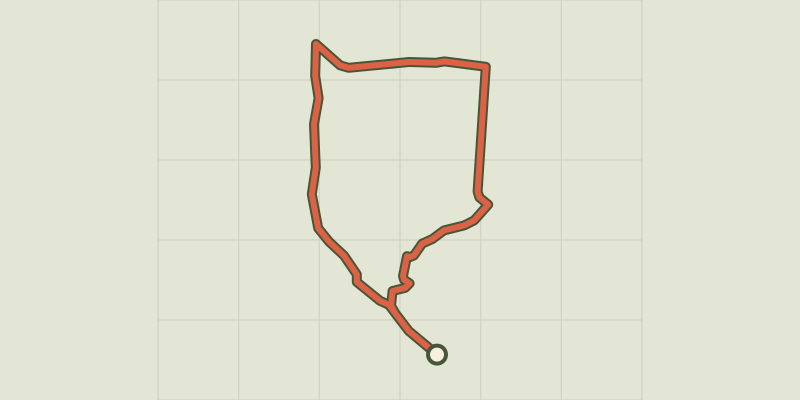 © OpenStreetMap, SRTM · OpenTopoMap (CC-BY-SA)
Three Bishops’ Cross trail
Cévennes, Lanuéjols (30) · LoopOfficial rating by Parc national des Cévennes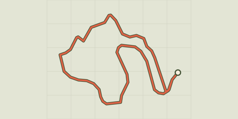 © OpenStreetMap, SRTM · OpenTopoMap (CC-BY-SA)
Arborétum de La Foux
Cévennes, Lanuéjols (30) · LoopOfficial rating by Parc national des Cévennes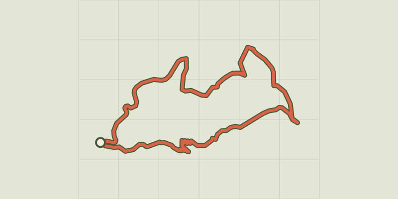 © OpenStreetMap, SRTM · OpenTopoMap (CC-BY-SA)
Le Devois cross
Cévennes, Lanuéjols (30) · LoopOfficial rating by Parc national des Cévennes