
4-day tour of the Plateau d'Emparis from Mizoën

Key facts
- Distance
- 43.5 km
- Ascent
- +2,629 m
- Descent
- −2,548 m
- Estimated time
- 15 hr 45
- hiking
- Difficulty
- Difficult
- official rating
- Route
- Point to point
- ends elsewhere
Profile and gradient
- under 10%
- 10 to 20%
- over 20%
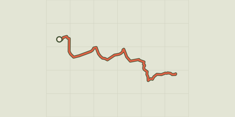
Gradient along the route: 24.5 km under 10%, 10.0 km at 10 to 20% and 9.0 km over 20%. Elevation from 1,264 m to 2,975 m over 43.5 km.
Description
This 4-day trek takes you along the edge of the Plateau d'Emparis, a unique feature in the massif of Les Écrins, and up to the Pic du Mas de La Grave (3,020m). From Emparis, every view is one of breathtaking beauty. Down below is the Lac du Chambon, with the majestic peaks of Les Écrins up high. The plateau offers one of the finest possible views of La Meije, Le Rateau and the glacier of La Girose. The Pic du Mas de la Grave is majestic; it is an essential destination for the experienced hikers who come to the valley. The tour starts with a short stage inviting you to explore the villages and hamlets along the way. The route rises uphill following shaley, overhanging paths, leading to the Lac du Lauvital and its discovery trail, then on to the hamlet of Les Clots, dominated by one of the most beautiful petrifying waterfalls in Isère. The second stage first follows the banks of the mountain stream La Pisse, taking you above the famous petrifying waterfall. From here, it is a short walk to the refuges of Le Fay and Les Mouterres along a country track. The path then leads to the Plateau d'Emparis and its two iconic lakes, Lac Lerié and Lac Noir, offering a view of the glaciers of Les Écrins and La Mieje. The third day is dominated by the imposing presence of the Pic du Mas de La Grave (3,020m). From the Buffe valley, the climb up to the Pic is a must for experienced hikers, and offers a 360° view. Then back to overnight in the refuges of Le Fay and Les Mouterres. The last stage brings this trek to a gentle close. The descent runs through alpine pastures, leading to Mizoën along shaley footpaths. You return to civilisation as you pass by signs of life as it was once lived, through the ruins of alpine pasture huts and hand-crafted terraces.
Difficulty
Official rating: difficult, by Parc national des Écrins.
Before you go
- Mountain biking is prohibited on the footpath followed by the GR50 (Order of the Mayor of Mizoën).
- Camping, fires and water sports (including swimming) are prohibited on the Emparis plateau during the summer. Dogs must be kept on a lead. Bivouacs are permitted between 7pm and 9am.
Getting there
Start: Mizoën, Mizoën (38).
Sources
- Track: Parc national des Écrins, Licence Ouverte 2.0, Licence Ouverte 2.0 (Etalab) (destination.ecrins-parcnational.fr/trek/990955-Tour-du-plateau-d-Emparis-depuis-Mizoen-en-4-jours). Time estimated by GPX Path with the Mac app rule, breaks not included.
- Official elevation gain: 2,629 m, Parc national des Écrins
Nearby tracks
 © OpenStreetMap, SRTM · OpenTopoMap (CC-BY-SA)
Lovitel lake and the Clots refuge
Écrins, Mizoën (38) · Out and backOfficial rating by Parc national des Écrins © OpenStreetMap, SRTM · OpenTopoMap (CC-BY-SA)
3-day Tour of the Emparis Plateau
Écrins, Mizoën (38) · Point to pointOfficial rating by Parc national des Écrins © OpenStreetMap, SRTM · OpenTopoMap (CC-BY-SA)
Les lacs du Plateau d’Emparis au départ de Besse
Écrins, Besse (38) · LoopOfficial rating by Parc national des Écrins © OpenStreetMap, SRTM · OpenTopoMap (CC-BY-SA)
Lake Quirlies
Écrins, Clavans-en-Haut-Oisans (38) · Out and backOfficial rating by Parc national des Écrins © OpenStreetMap, SRTM · OpenTopoMap (CC-BY-SA)
Muzelle Lake
Écrins, Les Deux Alpes (38) · Out and backOfficial rating by Parc national des Écrins © OpenStreetMap, SRTM · OpenTopoMap (CC-BY-SA)
Tour de l'Aiguille de Vénosc
Écrins, Les Deux Alpes (38) · Point to pointOfficial rating by Parc national des Écrins