
Lovitel lake and the Clots refuge
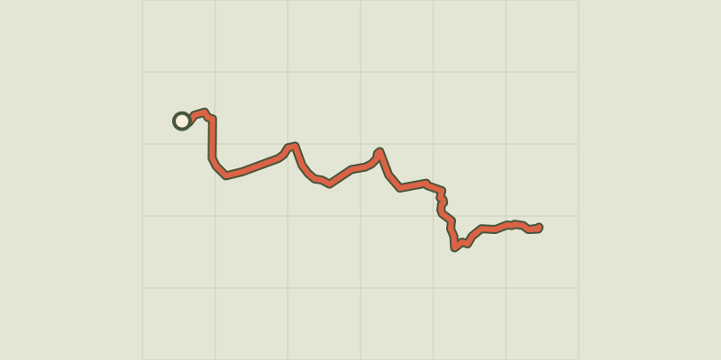
Key facts
- Distance
- 6.6 km
- Ascent
- +261 m
- Descent
- −242 m
- Estimated time
- 2 hr
- hiking
- Difficulty
- Easy
- official rating
- Route
- Out and back
- same way back
Profile and gradient
- under 10%
- 10 to 20%
- over 20%
Gradient along the route: 4.6 km under 10%, 1.8 km at 10 to 20% and 0.2 km over 20%. Elevation from 1,278 m to 1,514 m over 6.6 km.
Description
A peaceful walk up to the small Lovitel lake and the Clots refuge on a lovely elevated footpath overhanging Chambon lake and Romanche. "On a hard Autumn day, I hike towards Lovitel lake. The rain accompanies me. The small lake nestling in the curves of the lower mountain shelf seems to be sleeping. It is calm, magnificent and full of promise: in the summer months, you can see the Purple Loosestrife flowering here, you can hear the Common Midwife Toad "singing", you can see the Meije looming in the distance... Without a doubt : I have to come back !" S. Durix, Park Ranger in Oisans From Aymes car park, continue along the track that changes little by little in to a footpath. A lovely crossing, elevated occasionally, on the shale slopes overhanging Chambon lake enabling you to easily reach Lovitel lake via a gentle hill. On the ledge, there is a 1st trail discovery signpost turn either left (faster) or right towards the lake (discovery trail) to reach Clots hamlet. The refuge that you will find here provides an agreeable place for a rest to regain your strength. before descending using the same itinerary.
Difficulty
Official rating: easy, by Parc national des Écrins.
Before you go
- Elevated footpath, sometimes very high up, keep a close eye on children. Footpath totally inadvisable in the winter !
Getting there
Start: Mizoën, Mizoën (38).
Sources
- Track: Parc national des Écrins, Licence Ouverte 2.0, Licence Ouverte 2.0 (Etalab) (destination.ecrins-parcnational.fr/trek/918270-Le-lac-Lovitel-et-le-refuge-des-Clots). Time estimated by GPX Path with the Mac app rule, breaks not included.
- Official elevation gain: 261 m, Parc national des Écrins
Nearby tracks

 © OpenStreetMap, SRTM · OpenTopoMap (CC-BY-SA)
4-day tour of the Plateau d'Emparis from Mizoën
Écrins, Mizoën (38) · Point to pointOfficial rating by Parc national des Écrins © OpenStreetMap, SRTM · OpenTopoMap (CC-BY-SA)
3-day Tour of the Emparis Plateau
Écrins, Mizoën (38) · Point to pointOfficial rating by Parc national des Écrins © OpenStreetMap, SRTM · OpenTopoMap (CC-BY-SA)
Les lacs du Plateau d’Emparis au départ de Besse
Écrins, Besse (38) · LoopOfficial rating by Parc national des Écrins © OpenStreetMap, SRTM · OpenTopoMap (CC-BY-SA)
Lake Quirlies
Écrins, Clavans-en-Haut-Oisans (38) · Out and backOfficial rating by Parc national des Écrins © OpenStreetMap, SRTM · OpenTopoMap (CC-BY-SA)
Muzelle Lake
Écrins, Les Deux Alpes (38) · Out and backOfficial rating by Parc national des Écrins © OpenStreetMap, SRTM · OpenTopoMap (CC-BY-SA)
Tour de l'Aiguille de Vénosc
Écrins, Les Deux Alpes (38) · Point to pointOfficial rating by Parc national des Écrins