
Col de Reyssas

Key facts
- Distance
- 14.3 km
- Ascent
- +1,207 m
- Descent
- −1,194 m
- Estimated time
- 6 hr 40
- hiking
- Difficulty
- Difficult
- official rating
- Route
- Out and back
- same way back
Profile and gradient
- under 10%
- 10 to 20%
- over 20%
Gradient along the route: 2.9 km under 10%, 6.4 km at 10 to 20% and 5.0 km over 20%. Elevation from 1,278 m to 2,473 m over 14.3 km.
Description
A demanding climb rewarded by splendid scenery under the imposing shadow of the Mourre Froid. The climb starts in a forest alongside a stream that provides a welcome dose of coolness in summer, and then continues through a mountain pasture landscape that becomes more and more rocky as you progress towards the pass. This austere character nevertheless lends the site a wild charm that needs time to appreciate. - After a few hundred metres, turn left and then almost immediately right on a small path towards Lac Brun and Col de Reyssas. Follow the winding path to the intersection marked by the Clot l'Herbous sign. Follow the signs for the Alpage de Reyssas. - On reaching the mountain pastures, a sign points to the Col de Reyssas. Turn left and cross the stream to follow a path skirting the mountainside. First cross the stream above the waterfall, then after crossing it again, follow the stream on the left bank, staying slightly above it in the mountain pastures. Climb back up through a scree slope and then a mountain pasture to the summit. Yellow markings and cairns indicate the path to follow. Return on the same path.
Difficulty
Official rating: difficult, by Parc national des Écrins.
Getting there
Start: Les Méans, Réallon, Réallon (05).
Sources
- Track: Parc national des Écrins, Licence Ouverte 2.0, Licence Ouverte 2.0 (Etalab) (destination.ecrins-parcnational.fr/trek/993195-Col-de-Reyssas). Time estimated by GPX Path with the Mac app rule, breaks not included.
- Official elevation gain: 1,207 m, Parc national des Écrins
Nearby tracks

 © OpenStreetMap, SRTM · OpenTopoMap (CC-BY-SA)
Lake Brun
Écrins, Réallon (05) · Out and backOfficial rating by Parc national des Écrins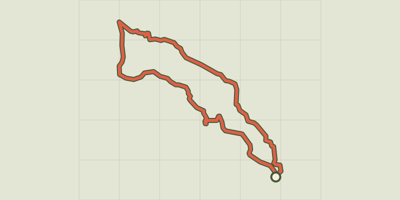 © OpenStreetMap, SRTM · OpenTopoMap (CC-BY-SA)
The hamlet of Vaucluse
Écrins, Réallon (05) · LoopOfficial rating by Parc national des Écrins © OpenStreetMap, SRTM · OpenTopoMap (CC-BY-SA)
Saint-Apollinaire lake
Écrins, Réallon (05) · LoopOfficial rating by Parc national des Écrins © OpenStreetMap, SRTM · OpenTopoMap (CC-BY-SA)
Les Aiguilles de Chabrières
Écrins, Réallon (05) · LoopOfficial rating by Parc national des Écrins © OpenStreetMap, SRTM · OpenTopoMap (CC-BY-SA)
Hamlet of Gourniers
Écrins, Réallon (05) · Point to pointOfficial rating by Parc national des Écrins © OpenStreetMap, SRTM · OpenTopoMap (CC-BY-SA)
Joubelle
Écrins, Réallon (05) · Out and backOfficial rating by Parc national des Écrins