
Lake Brun

Key facts
- Distance
- 9.1 km
- Ascent
- +877 m
- Descent
- −862 m
- Estimated time
- 4 hr 45
- hiking
- Difficulty
- Difficult
- official rating
- Route
- Out and back
- same way back
Profile and gradient
- under 10%
- 10 to 20%
- over 20%
Gradient along the route: 1.4 km under 10%, 3.6 km at 10 to 20% and 4.1 km over 20%. Elevation from 1,512 m to 2,368 m over 9.1 km.
Description
Lake Brun, a true gem in the heart of a rocky landscape, rewards a long ascent through very diverse natural environments. A hike with a beautiful view of the terraced vegetation in the mountains. The south-facing exposure at the beginning of the hike means you pass by deciduous trees, which are soon replaced by conifers, particularly larches. The vegetation becomes sparser, characteristic of alpine meadows, as you approach 2,000m in altitude, after which the landscape becomes more rocky in the final meters leading to the lake. Take the road that climbs in front towards the Reyssas stream, then continue on the track. Continue left uphill when the path splits in two, then left again 50m later. - After a few hundred meters, turn left, then almost immediately right onto a small path towards Lake Brun and the Reyssas pass. Follow the winding path to the intersection marked by the Clot l'Herbous sign. Follow the signs for the Alpage de Reyssas. - Once in the pastures, a sign points to Lake Brun. Turn right and climb through the pasture along the stream. - A steeper section follows. After this section, cross some wet grasslands with a stream, then take a final ascending path before the flat area that leads to the lake.
Difficulty
Official rating: difficult, by Parc national des Écrins.
Getting there
Start: Les Méans, Réallon, Réallon (05).
Sources
- Track: Parc national des Écrins, Licence Ouverte 2.0, Licence Ouverte 2.0 (Etalab) (destination.ecrins-parcnational.fr/trek/993193-Lac-brun). Time estimated by GPX Path with the Mac app rule, breaks not included.
- Official elevation gain: 877 m, Parc national des Écrins
Nearby tracks

 © OpenStreetMap, SRTM · OpenTopoMap (CC-BY-SA)
Col de Reyssas
Écrins, Réallon (05) · Out and backOfficial rating by Parc national des Écrins © OpenStreetMap, SRTM · OpenTopoMap (CC-BY-SA)
Réallon Fort
Écrins, Réallon (05) · Out and backOfficial rating by Parc national des Écrins © OpenStreetMap, SRTM · OpenTopoMap (CC-BY-SA)
Maou Riou
Écrins, Réallon (05) · LoopOfficial rating by Parc national des Écrins © OpenStreetMap, SRTM · OpenTopoMap (CC-BY-SA)
Muande de Bonnabelle
Écrins, Puy-Sanières (05) · LoopOfficial rating by Parc national des Écrins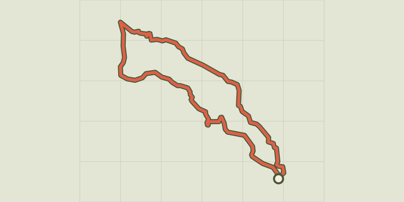 © OpenStreetMap, SRTM · OpenTopoMap (CC-BY-SA)
The hamlet of Vaucluse
Écrins, Réallon (05) · LoopOfficial rating by Parc national des Écrins © OpenStreetMap, SRTM · OpenTopoMap (CC-BY-SA)
Hamlet of Gourniers
Écrins, Réallon (05) · Point to pointOfficial rating by Parc national des Écrins