
Combeynot Lake

Key facts
- Distance
- 7.8 km
- Ascent
- +943 m
- Descent
- −936 m
- Estimated time
- 4 hr 55
- hiking
- Difficulty
- Difficult
- official rating
- Route
- Out and back
- same way back
Profile and gradient
- under 10%
- 10 to 20%
- over 20%
Gradient along the route: 0.4 km under 10%, 2.3 km at 10 to 20% and 5.1 km over 20%. Elevation from 1,626 m to 2,566 m over 7.8 km.
Description
A blue veil has been lost in this mineral world.You will not find an oasis in this desert of stones but a deep lake of freezing water. "In the middle of the summer, the valley exposed to the North can be very hot. That’s why I like to go out at sunrise in order to make the most of the cool early morning. just like the chamois who make the most of this calm moment in order to graze.. At 10 o’clock, most of them are sleeping and immobile, dozing and ruminating,you could almost say they are invisible!” Cyril Coursier, heritage technician in Briançonnais The unique marked trail starts from the carpark at the edge of Guisane. It goes up on the right bank, with a regular ascent to Pré Chausson then through Fontenil valley. After a slightly more difficult section, the lake is hiding under an overhang in the bottom of the valley. Return using the same itinerary in the opposite direction.
Difficulty
Official rating: difficult, by Parc national des Écrins.
Before you go
- No water on this path, take 2 litres per person. The itinerary is indicated on the signposts marked « porte du Parc national » which can be found near the carpark.
Getting there
Start: Les Boussardes, Le Monêtier-les-Bains (05).
Sources
- Track: Parc national des Écrins, Licence Ouverte 2.0, Licence Ouverte 2.0 (Etalab) (destination.ecrins-parcnational.fr/trek/903512-Le-lac-de-Combeynot). Time estimated by GPX Path with the Mac app rule, breaks not included.
- Official elevation gain: 943 m, Parc national des Écrins
Nearby tracks

 © OpenStreetMap, SRTM · OpenTopoMap (CC-BY-SA)
From Le Casset to Le Lauzet
Écrins, Le Monêtier-les-Bains (05) · Out and backOfficial rating by Parc national des Écrins © OpenStreetMap, SRTM · OpenTopoMap (CC-BY-SA)
Lac de la Douche
Écrins, Le Monêtier-les-Bains (05) · Out and backOfficial rating by Parc national des Écrins © OpenStreetMap, SRTM · OpenTopoMap (CC-BY-SA)
The Arsine Lakes
Écrins, Le Monêtier-les-Bains (05) · Out and backOfficial rating by Parc national des Écrins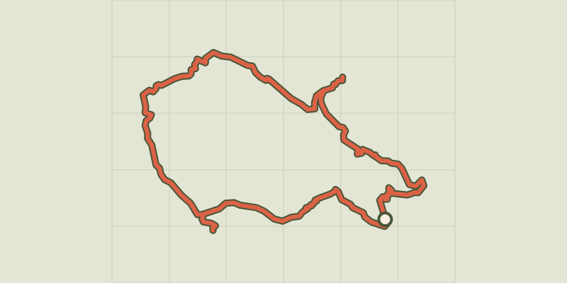 © OpenStreetMap, SRTM · OpenTopoMap (CC-BY-SA)
Tour entre Cerces et Ecrins (sans voiture)
Écrins, Le Monêtier-les-Bains (05) · LoopOfficial rating by Parc national des Écrins © OpenStreetMap, SRTM · OpenTopoMap (CC-BY-SA)
Les Sagnières
Écrins, Le Monêtier-les-Bains (05) · LoopOfficial rating by Parc national des Écrins © OpenStreetMap, SRTM · OpenTopoMap (CC-BY-SA)
Le Plan de l'Alpe de Villar par le sentier des Crevasses
Écrins, Villar-d'Arêne (05) · Out and backOfficial rating by Parc national des Écrins