
Lac de la Douche
Key facts
- Distance
- 8.1 km
- Ascent
- +413 m
- Descent
- −393 m
- Estimated time
- 2 hr 40
- hiking
- Difficulty
- Easy
- official rating
- Route
- Out and back
- same way back
Profile and gradient
- under 10%
- 10 to 20%
- over 20%
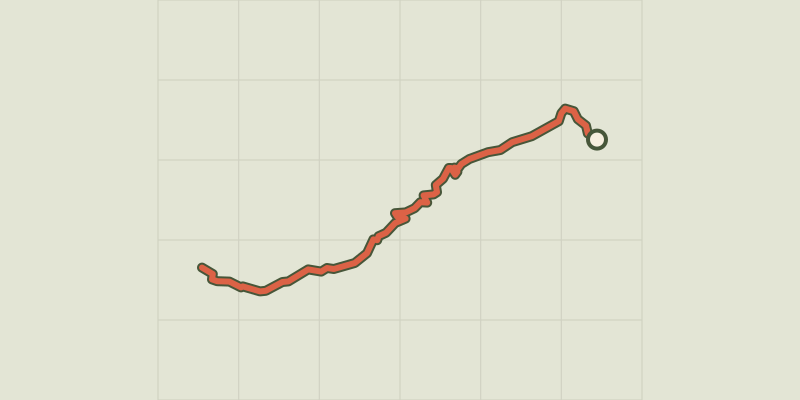
Gradient along the route: 5.3 km under 10%, 2.4 km at 10 to 20% and 0.4 km over 20%. Elevation from 1,512 m to 1,911 m over 8.1 km.
Description
This pleasant family walk featuers a wide range of mountain landscapes. From the traditional village of Le Casset to the turquoise blue lake, this trail runs alongside meadows visited by deer at dawn, and then crosses the larch forest where you can sometimes glimpse a few chamois. At the bottom of the valley, the torrent brings a spot of welcome freshness in summer to the hikers and mountain dwellers, all delighted to find a water source. From the car park at the edge of the village of Le Casset, near the Park Information Centre, walk up the main village street and then turn left across the second bridge over the Guisane. A straight track runs alongside the Petit Tabuc torrent, gradually leaving the hay meadows and entering the woods. Beyond the Clot du Gué barrier and bridge, a regular climb through the larch forest leads first of all to the Grand Pré clearing (1,683 m), then La Douche lake (1,901 m). Come back the same way.
Difficulty
Official rating: easy, by Parc national des Écrins.
Getting there
Start: Le Casset, Le Mônetier-les-Bains, Le Monêtier-les-Bains (05).
Sources
- Track: Parc national des Écrins, Licence Ouverte 2.0, Licence Ouverte 2.0 (Etalab) (destination.ecrins-parcnational.fr/trek/903297-Le-lac-de-la-Douche). Time estimated by GPX Path with the Mac app rule, breaks not included.
- Official elevation gain: 413 m, Parc national des Écrins
Nearby tracks

 © OpenStreetMap, SRTM · OpenTopoMap (CC-BY-SA)
From Le Casset to Le Lauzet
Écrins, Le Monêtier-les-Bains (05) · Out and backOfficial rating by Parc national des Écrins © OpenStreetMap, SRTM · OpenTopoMap (CC-BY-SA)
The Arsine Lakes
Écrins, Le Monêtier-les-Bains (05) · Out and backOfficial rating by Parc national des Écrins © OpenStreetMap, SRTM · OpenTopoMap (CC-BY-SA)
Les Sagnières
Écrins, Le Monêtier-les-Bains (05) · LoopOfficial rating by Parc national des Écrins © OpenStreetMap, SRTM · OpenTopoMap (CC-BY-SA)
Tour entre Cerces et Ecrins (sans voiture)
Écrins, Le Monêtier-les-Bains (05) · LoopOfficial rating by Parc national des Écrins © OpenStreetMap, SRTM · OpenTopoMap (CC-BY-SA)
Combeynot Lake
Écrins, Le Monêtier-les-Bains (05) · Out and backOfficial rating by Parc national des Écrins © OpenStreetMap, SRTM · OpenTopoMap (CC-BY-SA)
Le Belvédère de l'homme
Écrins, Villar-d'Arêne (05) · Out and backOfficial rating by Parc national des Écrins