
From Le Casset to Le Lauzet

Key facts
- Distance
- 8.5 km
- Ascent
- +182 m
- Descent
- −157 m
- Estimated time
- 2 hr 15
- hiking
- Difficulty
- Easy
- official rating
- Route
- Out and back
- same way back
Profile and gradient
- under 10%
- 10 to 20%
- over 20%
Gradient along the route: 8.1 km under 10% and 0.4 km at 10 to 20%. Elevation from 1,512 m to 1,656 m over 8.5 km.
Description
Along the River Guisane, between fields and forests, an age-old, often shaded path makes its way from village to village. In the evening, the inhabitants of Le Monêtier, Le Casset and Le Lauzet love to run, cycle or walk along this trail, to the gentle purring sound of the River Guisane, which brings a little bit of freshness on hot summer days. From the car park, go up the main village street, passing the church and the windmill, and continue along Rue du Lauzet. Then turn left after the Rebanchon gîte to cross the torrent. Turn right just after the bridge and then follow the yellow panels. The path goes around the foot of the Fontenil valley, near the village of the same name, before crossing Les Boussardes. From there, the rest of the trail is on the local tarmac road, leading you to the heart of the valley’s highest village. You follow the same route on the way back.
Difficulty
Official rating: easy, by Parc national des Écrins.
Before you go
- Please keep to the path and don’t tread on the vegetation in the meadows. NB: you can opt for the route going back along the old tarmac road.
Getting there
Start: Hameau du Casset, Le Monêtier-les-Bains, Le Monêtier-les-Bains (05).
Sources
- Track: Parc national des Écrins, Licence Ouverte 2.0, Licence Ouverte 2.0 (Etalab) (destination.ecrins-parcnational.fr/trek/921532-Du-Casset-au-Lauzet). Time estimated by GPX Path with the Mac app rule, breaks not included.
- Official elevation gain: 182 m, Parc national des Écrins
Nearby tracks

 © OpenStreetMap, SRTM · OpenTopoMap (CC-BY-SA)
Lac de la Douche
Écrins, Le Monêtier-les-Bains (05) · Out and backOfficial rating by Parc national des Écrins © OpenStreetMap, SRTM · OpenTopoMap (CC-BY-SA)
The Arsine Lakes
Écrins, Le Monêtier-les-Bains (05) · Out and backOfficial rating by Parc national des Écrins © OpenStreetMap, SRTM · OpenTopoMap (CC-BY-SA)
Les Sagnières
Écrins, Le Monêtier-les-Bains (05) · LoopOfficial rating by Parc national des Écrins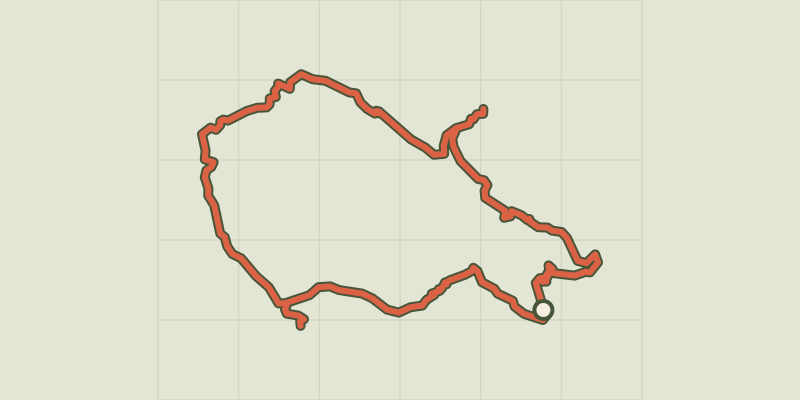 © OpenStreetMap, SRTM · OpenTopoMap (CC-BY-SA)
Tour entre Cerces et Ecrins (sans voiture)
Écrins, Le Monêtier-les-Bains (05) · LoopOfficial rating by Parc national des Écrins © OpenStreetMap, SRTM · OpenTopoMap (CC-BY-SA)
Combeynot Lake
Écrins, Le Monêtier-les-Bains (05) · Out and backOfficial rating by Parc national des Écrins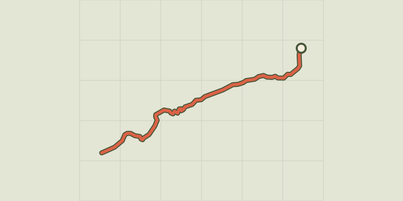 © OpenStreetMap, SRTM · OpenTopoMap (CC-BY-SA)
Le Belvédère de l'homme
Écrins, Villar-d'Arêne (05) · Out and backOfficial rating by Parc national des Écrins