
Tourettes Mountain Pass

Key facts
- Distance
- 10.1 km
- Ascent
- +914 m
- Descent
- −890 m
- Estimated time
- 4 hr 55
- hiking
- Difficulty
- Difficult
- official rating
- Route
- Out and back
- same way back
Profile and gradient
- under 10%
- 10 to 20%
- over 20%
Gradient along the route: 2.0 km under 10%, 3.5 km at 10 to 20% and 4.5 km over 20%. Elevation from 1,651 m to 2,544 m over 10.1 km.
Description
This itinerary for the good walker enables morning hikers to make the most of the cool air in the Rabioux valley and to observe Champsaur, les Ecrins and their surroundings in the early morning. From the freshness of the larch forest to the heat of the sun on the final slope, the Tourettes mountain-pass links the Durance valley to that of the Drac. It offers a spectacular view of the Champsaur and the surrounding massifs. The watchful eye "armed with binoculars" will observe the chamois which populate the slopes of the Dent mountain or will stealthily observe the fluttering of the Wall Creeper. Take the Rabioux pastoral path to the Muandes carpark. Follwo the forest path on foot which penetrates the heart of the Ecrins National Park, pass near to the Charançons gîte then the Serre chalets. Then the path crosses the larch groves, cross the Rabioux torrent and loop to the right, leading without difficulty to the Tourettes mountain pass. Return using the same itinerary.
Difficulty
Official rating: difficult, by Parc national des Écrins.
Before you go
- Since the slope is exposed to the sun, plan to leave for your hike early in the morning.
Getting there
Start: Les Charbonnières, Châteauroux-les-Alpes, Châteauroux-les-Alpes (05).
Sources
- Track: Parc national des Écrins, Licence Ouverte 2.0, Licence Ouverte 2.0 (Etalab) (destination.ecrins-parcnational.fr/trek/904063-Le-col-des-Tourettes). Time estimated by GPX Path with the Mac app rule, breaks not included.
- Official elevation gain: 914 m, Parc national des Écrins
Nearby tracks

 © OpenStreetMap, SRTM · OpenTopoMap (CC-BY-SA)
Lake Distroit
Écrins, Châteauroux-les-Alpes (05) · Out and backOfficial rating by Parc national des Écrins © OpenStreetMap, SRTM · OpenTopoMap (CC-BY-SA)
Cascade de la Pisse in Châteauroux-Les-Alpes
Écrins, Châteauroux-les-Alpes (05) · Out and backOfficial rating by Parc national des Écrins © OpenStreetMap, SRTM · OpenTopoMap (CC-BY-SA)
Cabane de l'Aiguille loop
Écrins, Embrun (05) · LoopOfficial rating by Parc national des Écrins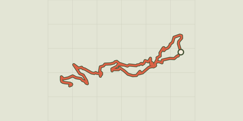 © OpenStreetMap, SRTM · OpenTopoMap (CC-BY-SA)
Mont Guillaume, Seyères chapel
Écrins, Embrun (05) · LoopOfficial rating by Parc national des Écrins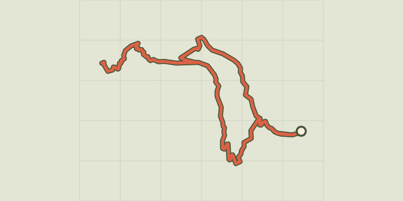 © OpenStreetMap, SRTM · OpenTopoMap (CC-BY-SA)
Lac de l'Hivernet
Écrins, Embrun (05) · LoopOfficial rating by Parc national des Écrins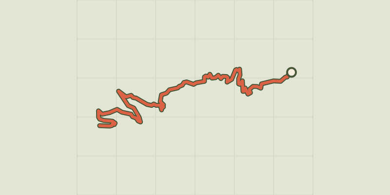 © OpenStreetMap, SRTM · OpenTopoMap (CC-BY-SA)
The Mont Guillaume
Écrins, Embrun (05) · Out and backOfficial rating by Parc national des Écrins