
The Mont Guillaume

Key facts
- Distance
- 14.0 km
- Ascent
- +953 m
- Descent
- −936 m
- Estimated time
- 5 hr 35
- hiking
- Difficulty
- Moderate
- official rating
- Route
- Out and back
- same way back
Profile and gradient
- under 10%
- 10 to 20%
- over 20%
Gradient along the route: 3.5 km under 10%, 9.1 km at 10 to 20% and 1.4 km over 20%. Elevation from 1,588 m to 2,534 m over 14.0 km.
Description
From this emblematic summit (2552 m), the view of the Embrunais and Serre-Ponçon lake is magnificent. A small chapel bears witness to the pilgrimage which takes place every year. Overhanging the town of Embrun which is less than 5 km away, the Mont Guillaume is particularly important for its inhabitants. Seyères chapel has been completely restored, and at the beginning of July it welcomes a mass dedicated to Saint Guillaume which lends an extra dimension to this hike. At the carpark, take the forest road for 50 metres and skew to the right on the Widman track. Join the path. On the first bend to the right, ignore the path on the left and go up the track (Séyères chapel, mont Guillaume by Pré-Clos). Leave the path at the fourth bend to take the track to the left (Séyères chapel, mont Guillaume on the Widman track). Ignore the first path that goes down to the right, then another facing that climb up to the crossing. Take the path on the left until Séyères chapel 200 m away (fountain, picnic area). Continue along the same path and take the track to the right (Mont Guillaume on the Widman track) at the fork. At the first bend (cairn), climb the track to the Saint Guillaume chapel (2542 m), then to Mont Guillaume. Return using the same itinerary.
Difficulty
Official rating: moderate, by Parc national des Écrins.
Getting there
Start: Parking de la Forêt (1587 m), Embrun (05).
Sources
- Track: Parc national des Écrins, Licence Ouverte 2.0, Licence Ouverte 2.0 (Etalab) (destination.ecrins-parcnational.fr/trek/920619-Mont-Guillaume). Time estimated by GPX Path with the Mac app rule, breaks not included.
- Official elevation gain: 953 m, Parc national des Écrins
Nearby tracks
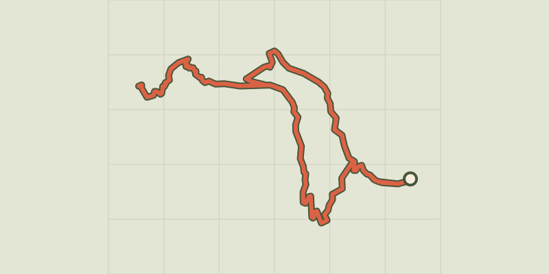
 © OpenStreetMap, SRTM · OpenTopoMap (CC-BY-SA)
Lac de l'Hivernet
Écrins, Embrun (05) · LoopOfficial rating by Parc national des Écrins © OpenStreetMap, SRTM · OpenTopoMap (CC-BY-SA)
Cabane de l'Aiguille loop
Écrins, Embrun (05) · LoopOfficial rating by Parc national des Écrins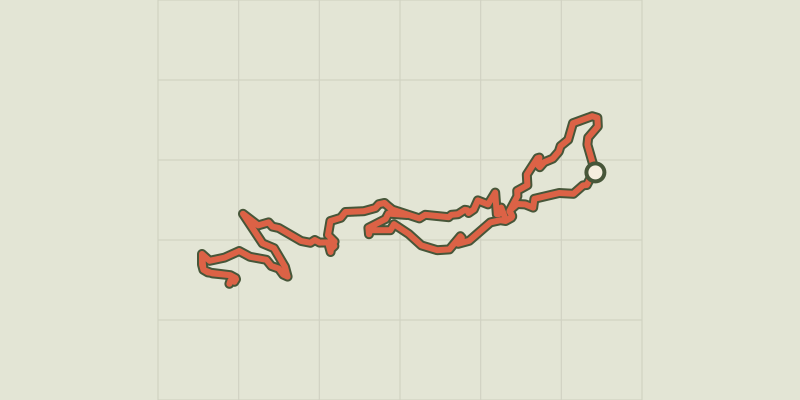 © OpenStreetMap, SRTM · OpenTopoMap (CC-BY-SA)
Mont Guillaume, Seyères chapel
Écrins, Embrun (05) · LoopOfficial rating by Parc national des Écrins © OpenStreetMap, SRTM · OpenTopoMap (CC-BY-SA)
Cascade de la Pisse in Châteauroux-Les-Alpes
Écrins, Châteauroux-les-Alpes (05) · Out and backOfficial rating by Parc national des Écrins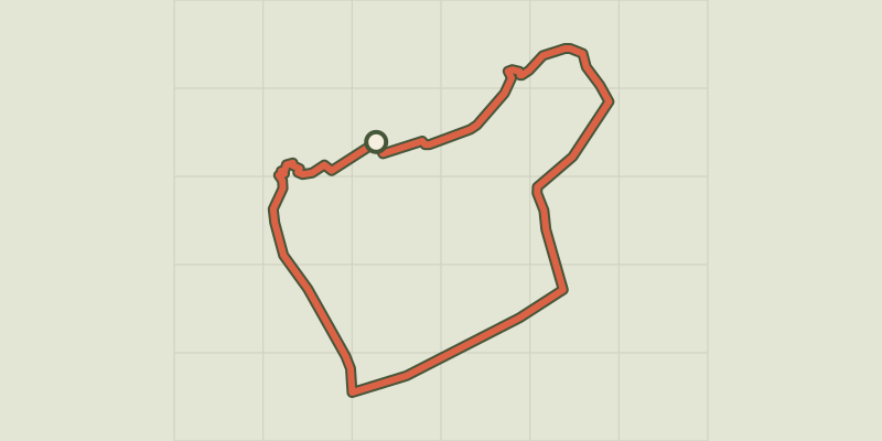 © OpenStreetMap, SRTM · OpenTopoMap (CC-BY-SA)
La plaine sous le roc
Écrins, Embrun (05) · LoopOfficial rating by Parc national des Écrins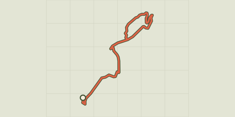 © OpenStreetMap, SRTM · OpenTopoMap (CC-BY-SA)
Chemin de la Durance
Écrins, Châteauroux-les-Alpes (05) · Out and backOfficial rating by Parc national des Écrins