
Cabane de l'Aiguille loop

Key facts
- Distance
- 5.4 km
- Ascent
- +402 m
- Descent
- −395 m
- Estimated time
- 2 hr 20
- hiking
- Difficulty
- Moderate
- official rating
- Route
- Loop
- back to the start
Profile and gradient
- under 10%
- 10 to 20%
- over 20%
Gradient along the route: 1.6 km under 10%, 2.4 km at 10 to 20% and 1.3 km over 20%. Elevation from 1,592 m to 1,993 m over 5.4 km.
Description
This trail leads through a larch forest, where plentiful havens of tranquillity await. Wend your way to the Cabane de l'Aiguille through the larch forest of Mont Guillaume, the larch being the iconic tree of the Alps. The ever-present greenery and vegetation make this a trail full of colour. The shape of these giant trees allows a gentle and tranquil light to filter through. And not forgetting the presence of the many and secretive inhabitants of the forest. After these shaded, green environments, you will be taken by surprise by the wide-open spaces of the area of alpine pasture at the Cabane de l'Aiguille, before dropping back down through the forest. From the car park, take the track on the left, heading towards « Belvédère de la Pare ». Immediately after this, follow the path rising uphill on the right. At the next intersection, turn right towards the Lac de l'Hivernet via Les Fontainiers and L'Aiguille. When you reach the track, turn left and carry on in this direction. Go past the Refuge des Fontainiers and carry on to the chalet. - At the intersection, turn left towards the Lac de l'Hivernet via Prés-Clos and Pierre Pointue. Continue heading in this direction. - When you reach Prés Clos, stay on the track bearing left. This is a beautiful winding ascent. - Then, just before the spring, take the path on the right (barely visible). Cross the Pierre Pointue [canal]. At the next intersection, turn left. On this track, follow signs to the Lac de L'Hivernet. - A few metres further on, turn right at the crossroads. Then, take the path on the right leading towards L'Aiguille and Les Fontainiers. When you reach the Cabane de L'Aiguille, follow the track on the right which leads to the locality of Les Fontainiers.
Difficulty
Official rating: moderate, by Parc national des Écrins.
Before you go
- On this trail, the locality identified as "Fontainiers" on the map is called "Fontaniers" on the signposts, but it is one and the same place.
Getting there
Start: Parking de la forêt, Embrun (attention parking non accessible en période hivernale)., Embrun (05).
Sources
- Track: Parc national des Écrins, Licence Ouverte 2.0, Licence Ouverte 2.0 (Etalab) (destination.ecrins-parcnational.fr/trek/974426-Boucle-de-la-Cabane-de-l-Aiguille). Time estimated by GPX Path with the Mac app rule, breaks not included.
- Official elevation gain: 402 m, Parc national des Écrins
Nearby tracks
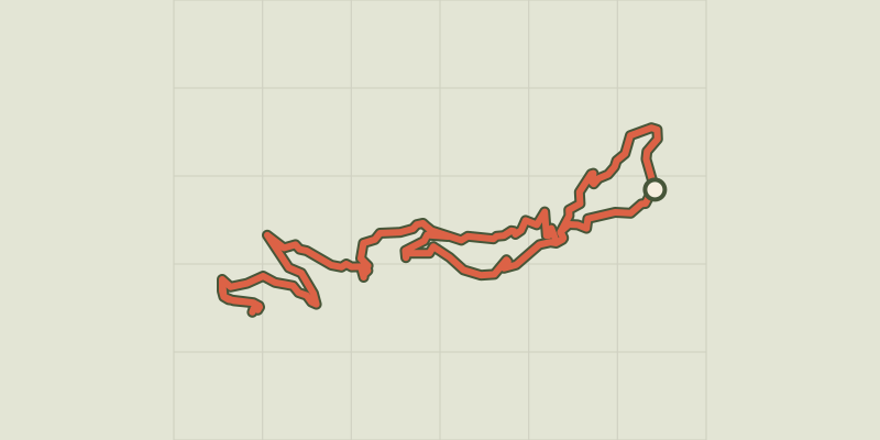
 © OpenStreetMap, SRTM · OpenTopoMap (CC-BY-SA)
Mont Guillaume, Seyères chapel
Écrins, Embrun (05) · LoopOfficial rating by Parc national des Écrins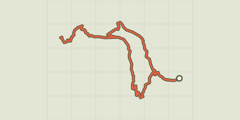 © OpenStreetMap, SRTM · OpenTopoMap (CC-BY-SA)
Lac de l'Hivernet
Écrins, Embrun (05) · LoopOfficial rating by Parc national des Écrins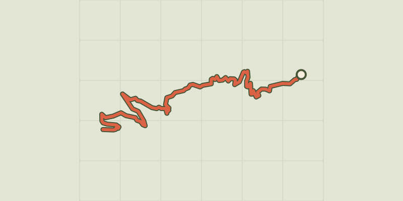 © OpenStreetMap, SRTM · OpenTopoMap (CC-BY-SA)
The Mont Guillaume
Écrins, Embrun (05) · Out and backOfficial rating by Parc national des Écrins © OpenStreetMap, SRTM · OpenTopoMap (CC-BY-SA)
Cascade de la Pisse in Châteauroux-Les-Alpes
Écrins, Châteauroux-les-Alpes (05) · Out and backOfficial rating by Parc national des Écrins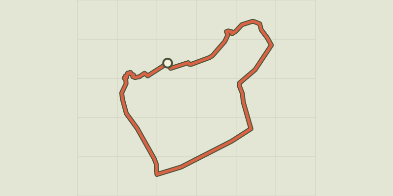 © OpenStreetMap, SRTM · OpenTopoMap (CC-BY-SA)
La plaine sous le roc
Écrins, Embrun (05) · LoopOfficial rating by Parc national des Écrins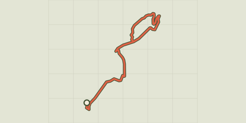 © OpenStreetMap, SRTM · OpenTopoMap (CC-BY-SA)
Chemin de la Durance
Écrins, Châteauroux-les-Alpes (05) · Out and backOfficial rating by Parc national des Écrins