
Valgaudemar refuges

Key facts
- Distance
- 59.3 km
- Ascent
- +4,620 m
- Descent
- −3,853 m
- Estimated time
- 24 hr 40
- hiking
- Difficulty
- Difficult
- official rating
- Route
- Point to point
- ends elsewhere
Profile and gradient
- under 10%
- 10 to 20%
- over 20%
Gradient along the route: 24.8 km under 10%, 20.5 km at 10 to 20% and 14.0 km over 20%. Elevation from 1,024 m to 2,670 m over 59.3 km.
Description
The hike goes through the mountain valley of the Valgaudemar, in the Massif des Ecrins. On the way, a real Himalayan decor is unveiled to hikers, step by step. The route runs below such legendary summits as the Olan, Les Rouies, Les Bancs and the Sirac. The stone and glacier atmosphere is replaced by bucolic Alpine pastures with breathtaking views. Wild fauna and Alpine flora can be seen all along the way. And encounters are not rare between mountain-climbers, enthusiastic hikers and lovers of wide-open spaces, who travel along the trails as soon as the fine weather returns. Tommy Bulle, Valgaudemar park keeper This major hiking trail is divided into seven stages and makes its way mainly at high altitude along paths with a wild character. After the first two nights in refuges, the return to the valley marks the mid-way point of the trip. The second part of the trail again immerses hikers in the world of the high mountains. Among the jewels along the way, Lake Lautier, the mythical face of the Olan, Lake Vallonpierre, a unique panorama over the Gioberney and much else besides. During the sections at the upper limit of the subalpine zone, the environment bears witness to the harsh climate in the mountains. Overall, there are some steep ascents and descents, but what a trip!
Difficulty
Official rating: difficult, by Parc national des Écrins.
Before you go
- Before setting out on this long trail, it is recommended that hikers should have already had experience on other GR trails or to be in good physical shape.
- In summer, you are advised to set off early in the morning to make the most of the cool temperatures before it heats up. This trail is also very pleasant in early spring (provided that the refuges are open).
Getting there
Start: Villar Loubière, Villar-Loubière (05).
Sources
- Track: Parc national des Écrins, Licence Ouverte 2.0, Licence Ouverte 2.0 (Etalab) (destination.ecrins-parcnational.fr/trek/938574-Tour-des-Refuges-en-Valgaudemar-en-7-jours). Time estimated by GPX Path with the Mac app rule, breaks not included.
- Official elevation gain: 4,620 m, Parc national des Écrins
Nearby tracks

 © OpenStreetMap, SRTM · OpenTopoMap (CC-BY-SA)
Village of Les Peines
Écrins, Villar-Loubière (05) · LoopOfficial rating by Parc national des Écrins © OpenStreetMap, SRTM · OpenTopoMap (CC-BY-SA)
Du refuge des Souffles au refuge de l'Olan (sans voiture)
Écrins, Villar-Loubière (05) · Point to pointOfficial rating by Parc national des Écrins © OpenStreetMap, SRTM · OpenTopoMap (CC-BY-SA)
From Villar-Loubière to La-Chapelle-en-Valgaudemar
Écrins, Villar-Loubière (05) · Point to pointOfficial rating by Parc national des Écrins © OpenStreetMap, SRTM · OpenTopoMap (CC-BY-SA)
Pétarel Lakes by the Andrieux
Écrins, La Chapelle-en-Valgaudémar (05) · Out and backOfficial rating by Parc national des Écrins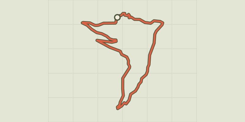 © OpenStreetMap, SRTM · OpenTopoMap (CC-BY-SA)
Les Oulles du Diable
Écrins, La Chapelle-en-Valgaudémar (05) · LoopOfficial rating by Parc national des Écrins © OpenStreetMap, SRTM · OpenTopoMap (CC-BY-SA)
The 6 mountain huts
Écrins, Saint-Maurice-en-Valgodemard (05) · Out and backOfficial rating by Parc national des Écrins