
Les Oulles du Diable

Key facts
- Distance
- 3.4 km
- Ascent
- +197 m
- Descent
- −181 m
- Estimated time
- 1 hr 10
- hiking
- Difficulty
- Very easy
- official rating
- Route
- Loop
- back to the start
Profile and gradient
- under 10%
- 10 to 20%
- over 20%
Gradient along the route: 1.9 km under 10%, 0.9 km at 10 to 20% and 0.6 km over 20%. Elevation from 1,097 m to 1,270 m over 3.4 km.
Description
A short introductory walk to see our natural heritage: Les Oulles du Diable! The circuit will take you on a shaded ascent as far as the traditional hamlet of Les Portes. After that, you cross the Navette torrent and its giant boiling devils’ cauldrons, the "Oulles du Diable", across the Romanesque Oulles bridge. The result of incredible natural forces, the Oulles du Diable are one of the marvels of the Valgaudemar valley. But take care with this dangerous torrent. Go up to the village of Les Portes, then make for Pont des Oulles and descend as far as the bridge. On the way back, follow the path along the right bank.
Difficulty
Official rating: very easy, by Parc national des Écrins.
Before you go
- The Oulles are dangerous. To make sure you have a safe visit, keep behind the safety barriers along the footpath.
Getting there
Start: La Chapelle-en-Valgaudemar, La Chapelle-en-Valgaudémar (05).
Sources
- Track: Parc national des Écrins, Licence Ouverte 2.0, Licence Ouverte 2.0 (Etalab) (destination.ecrins-parcnational.fr/trek/950371-Les-Oulles-du-Diable). Time estimated by GPX Path with the Mac app rule, breaks not included.
- Official elevation gain: 197 m, Parc national des Écrins
Nearby tracks

 © OpenStreetMap, SRTM · OpenTopoMap (CC-BY-SA)
The Pétarel Lakes via Les Portes
Écrins, La Chapelle-en-Valgaudémar (05) · Out and backOfficial rating by Parc national des Écrins © OpenStreetMap, SRTM · OpenTopoMap (CC-BY-SA)
The Pas de l'Olan
Écrins, La Chapelle-en-Valgaudémar (05) · LoopOfficial rating by Parc national des Écrins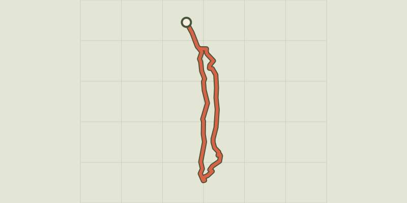 © OpenStreetMap, SRTM · OpenTopoMap (CC-BY-SA)
Navette Valley
Écrins, La Chapelle-en-Valgaudémar (05) · LoopOfficial rating by Parc national des Écrins © OpenStreetMap, SRTM · OpenTopoMap (CC-BY-SA)
Pétarel Lakes by the Andrieux
Écrins, La Chapelle-en-Valgaudémar (05) · Out and backOfficial rating by Parc national des Écrins © OpenStreetMap, SRTM · OpenTopoMap (CC-BY-SA)
From Villar-Loubière to La-Chapelle-en-Valgaudemar
Écrins, Villar-Loubière (05) · Point to pointOfficial rating by Parc national des Écrins © OpenStreetMap, SRTM · OpenTopoMap (CC-BY-SA)
Valgaudemar refuges
Écrins, Villar-Loubière (05) · Point to pointOfficial rating by Parc national des Écrins