
Village of Les Peines

Key facts
- Distance
- 4.1 km
- Ascent
- +335 m
- Descent
- −335 m
- Estimated time
- 1 hr 55
- hiking
- Difficulty
- Easy
- official rating
- Route
- Loop
- back to the start
Profile and gradient
- under 10%
- 10 to 20%
- over 20%
Gradient along the route: 1.5 km under 10%, 0.8 km at 10 to 20% and 1.7 km over 20%. Elevation from 1,009 m to 1,345 m over 4.1 km.
Description
A hike around the mountainside towards the abandoned village of Les Peines, on a belvedere above Villar-Loubière. A historic site with a plunging view over the Valgaudemar valley - the village of Les Peines is always a delight. In Villar-Loubière, don’t miss a visit to the hydraulic windmill, which is listed as a Historic Monument. We leave from the centre of the village of Villar-Loubière and head for Les Peines via Pont des Peines. Cross the footbridge and continue up the winding path to the ruins of the village of Les Peines. Go down via La Loubière and return to Villar-Loubière by the La Valgaude route.
Difficulty
Official rating: easy, by Parc national des Écrins.
Getting there
Start: Villar-Loubière, Villar-Loubière (05).
Sources
- Track: Parc national des Écrins, Licence Ouverte 2.0, Licence Ouverte 2.0 (Etalab) (destination.ecrins-parcnational.fr/trek/950010-Hameau-des-Peines). Time estimated by GPX Path with the Mac app rule, breaks not included.
- Official elevation gain: 335 m, Parc national des Écrins
Nearby tracks

 © OpenStreetMap, SRTM · OpenTopoMap (CC-BY-SA)
Du refuge des Souffles au refuge de l'Olan (sans voiture)
Écrins, Villar-Loubière (05) · Point to pointOfficial rating by Parc national des Écrins © OpenStreetMap, SRTM · OpenTopoMap (CC-BY-SA)
Valgaudemar refuges
Écrins, Villar-Loubière (05) · Point to pointOfficial rating by Parc national des Écrins © OpenStreetMap, SRTM · OpenTopoMap (CC-BY-SA)
From Villar-Loubière to La-Chapelle-en-Valgaudemar
Écrins, Villar-Loubière (05) · Point to pointOfficial rating by Parc national des Écrins © OpenStreetMap, SRTM · OpenTopoMap (CC-BY-SA)
Pétarel Lakes by the Andrieux
Écrins, La Chapelle-en-Valgaudémar (05) · Out and backOfficial rating by Parc national des Écrins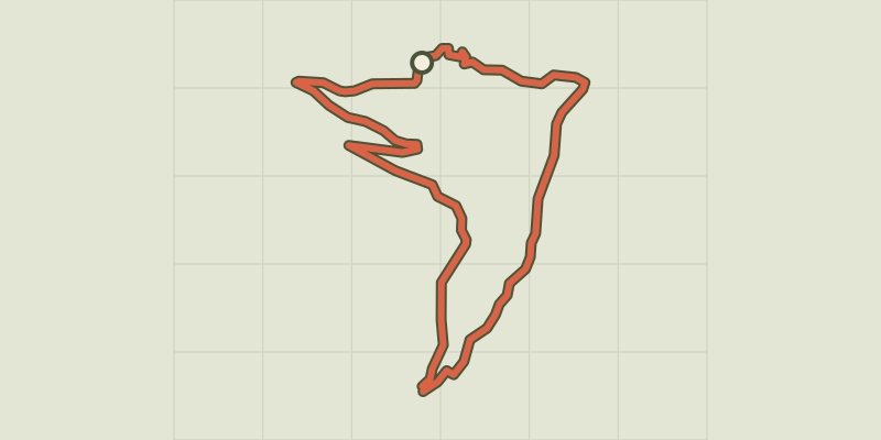 © OpenStreetMap, SRTM · OpenTopoMap (CC-BY-SA)
Les Oulles du Diable
Écrins, La Chapelle-en-Valgaudémar (05) · LoopOfficial rating by Parc national des Écrins © OpenStreetMap, SRTM · OpenTopoMap (CC-BY-SA)
The 6 mountain huts
Écrins, Saint-Maurice-en-Valgodemard (05) · Out and backOfficial rating by Parc national des Écrins