
GPX tracks around the Gulf of Morbihan
20 GPX tracks around the Gulf of Morbihan, with distance, elevation gain and time for each track. Filter by sport, distance, elevation gain and time.
Regions
Pick a region on the map or below. Grey regions have no tracks yet.
Mountain ranges
Pick a mountain range on the map or below: all its tracks, whatever the region.
All GPX tracks around the Gulf of Morbihan
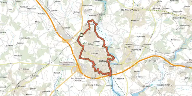
 Plan IGN © IGN 2026 · track © OpenStreetMap
Autour d’Auray
Gulf of Morbihan, Brech (56) · Loop
 Plan IGN © IGN 2026 · track © OpenStreetMap
Circuit de Kerbiler
Gulf of Morbihan, Elven (56) · Loop Plan IGN © IGN 2026 · track © OpenStreetMap
Circuit de la Chapelle de Béquerel
Gulf of Morbihan, Le Bono (56) · Loop Plan IGN © IGN 2026 · track © OpenStreetMap
Circuit de Moustoir-Lorho
Gulf of Morbihan, Theix-Noyalo (56) · Loop Plan IGN © IGN 2026 · track © OpenStreetMap
Circuit de Pencadenic
Gulf of Morbihan, Le Tour-du-Parc (56) · Loop Plan IGN © IGN 2026 · track © OpenStreetMap
Circuit des deux pointes
Gulf of Morbihan, Arradon (56) · Loop Plan IGN © IGN 2026 · track © OpenStreetMap
Circuit des Moulins
Gulf of Morbihan, Saint-Avé (56) · Loop Plan IGN © IGN 2026 · track © OpenStreetMap
Circuit des Pointes du Golfe
Gulf of Morbihan, Arzon (56) · Loop Plan IGN © IGN 2026 · track © OpenStreetMap
Circuit des Templiers
Gulf of Morbihan, Theix-Noyalo (56) · Loop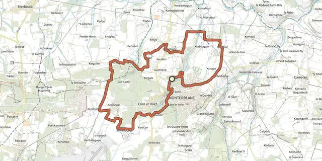 Plan IGN © IGN 2026 · track © OpenStreetMap
Circuit du Govéro
Gulf of Morbihan, Monterblanc (56) · Loop Plan IGN © IGN 2026 · track © OpenStreetMap
Circuit du Grand Mont
Gulf of Morbihan, Saint-Gildas-de-Rhuys (56) · Loop Plan IGN © IGN 2026 · track © OpenStreetMap
Circuit le Petit Mont
Gulf of Morbihan, Arzon (56) · Loop Plan IGN © IGN 2026 · track © OpenStreetMap
Circuit le Petit Mousse
Gulf of Morbihan, Arzon (56) · Loop Plan IGN © IGN 2026 · track © OpenStreetMap
Entre golfe et océan
Gulf of Morbihan, Locmariaquer (56) · Loop Plan IGN © IGN 2026 · track © OpenStreetMap
La rivière du Bono
Gulf of Morbihan, Le Bono (56) · Loop Plan IGN © IGN 2026 · track © OpenStreetMap
La Vallée du Condat
Gulf of Morbihan, Saint-Nolff (56) · Loop Plan IGN © IGN 2026 · track © OpenStreetMap
Les étangs
Gulf of Morbihan, Saint-Gildas-de-Rhuys (56) · Loop Plan IGN © IGN 2026 · track © OpenStreetMap
Les Landes de Lamblat
Gulf of Morbihan, Surzur (56) · Loop Plan IGN © IGN 2026 · track © OpenStreetMap
Les parcs ostréicoles
Gulf of Morbihan, Sarzeau (56) · Loop Plan IGN © IGN 2026 · track © OpenStreetMap
Vue sur l’océan, Variante par la boucle de Penvins
Gulf of Morbihan, Sarzeau (56) · Loop