
Roquedols Castle

Key facts
- Distance
- 5.2 km
- Ascent
- +144 m
- Descent
- −117 m
- Estimated time
- 1 hr 25
- hiking
- Difficulty
- Easy
- official rating
- Route
- Loop
- back to the start
Profile and gradient
- under 10%
- 10 to 20%
- over 20%
Gradient along the route: 4.2 km under 10% and 1.0 km at 10 to 20%. Elevation from 713 m to 831 m over 5.2 km.
Description
Starting in Meyrueis, this family walk leads you to a very handsome 16th century castle. Nearby are French formal gardens and one of the many arboretums created during the reforestation of the Aigoual massif. From Place du Champ de Mars, take the tarred road on the right and walk alongside a disused béal (irrigation channel) to the Gymnase. - At the gymnasium, take the GR®6A long-distance hiking path on the left, which steadily climbs to the Col de Tribes pass (altitude 783 m). - At the pass, take the path all the way on the right, which passes under some Scots pines, to La Clède. - At the crossroads, take the track on your right for a few dozen metres until it comes out onto a wide forestry track. Turn right onto this track to reach the Ferrusssac road. - At the road, turn right and, after about 50 m, turn left onto the track suitable for motor vehicles, which, after crossing the Béthuzon river, leads to Roquedols castle. - Once you have walked around the castle, head north between two chestnut hedges and go through a forged iron gate that symbolises the entrance to the property. Walk alongside the fields that make up Roquedols estate. Once on the tarmac road, take it on the left for 230 m. - Then take the first road on the right. Walk through the neighbourhoods of Meyrueis and, by the Hôtel de l'Europe, cross the bridge on the right to get back to the car park.
Difficulty
Official rating: easy, by Parc national des Cévennes.
Before you go
- Make sure your equipment is appropriate for the day’s weather conditions. Remember that the weather changes quickly in the mountains. Take enough water, wear sturdy shoes and put on a hat. Please close all gates and barriers behind you.
Getting there
Start: Meyrueis, Meyrueis (48).
Sources
- Track: Parc national des Cévennes, Licence Ouverte 1.0, Licence Ouverte 1.0 (Etalab) (destination.cevennes-parcnational.fr/trek/73693-Chateau-de-Roquedols). Time estimated by GPX Path with the Mac app rule, breaks not included.
- Official elevation gain: 144 m, Parc national des Cévennes
Nearby tracks

 © OpenStreetMap, SRTM · OpenTopoMap (CC-BY-SA)
The two farms of the Causse Noir
Occitanie, Meyrueis (48) · LoopOfficial rating by Parc national des Cévennes © OpenStreetMap, SRTM · OpenTopoMap (CC-BY-SA)
Pauparelle
Cévennes, Meyrueis (48) · LoopOfficial rating by Parc national des Cévennes © OpenStreetMap, SRTM · OpenTopoMap (CC-BY-SA)
From Meyrueis to the summit of Mont Aigoual.
Cévennes, Meyrueis (48) · Point to pointOfficial rating by Parc national des Cévennes © OpenStreetMap, SRTM · OpenTopoMap (CC-BY-SA)
O Roquedols, my Roquedols!
Cévennes, Meyrueis (48) · LoopOfficial rating by Parc national des Cévennes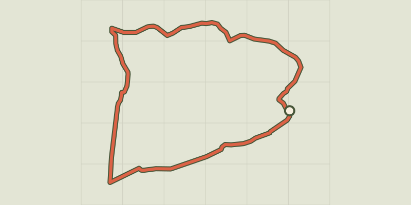 © OpenStreetMap, SRTM · OpenTopoMap (CC-BY-SA)
Dargilan
Occitanie, Meyrueis (48) · LoopOfficial rating by Parc national des Cévennes © OpenStreetMap, SRTM · OpenTopoMap (CC-BY-SA)
The streams walk
Cévennes, Meyrueis (48) · LoopOfficial rating by Parc national des Cévennes