
GPX tracks in France (page 256)
7,023 GPX tracks in France, with distance, elevation gain and time for each track. Pick a region on the map, then filter by department, sport, distance, elevation gain and time.
All GPX tracks in France
Activity : All activities

 Plan IGN © IGN 2026Sentier de découverte - Canayère - indices de la vie ruraleCévennes, Trèves (30) · LoopOfficial rating by Parc national des Cévennes
 Plan IGN © IGN 2026Sentier de découverte de la CocalièreCévennes, Courry (30) · Out and backOfficial rating by Parc national des Cévennes
 Plan IGN © IGN 2026 · track © OpenStreetMapSentier de découverte de la SitelleCorsica, Évisa (2A) · Loop
 Plan IGN © IGN 2026 · track © OpenStreetMapSentier de découverte de la vallée de CorbinièresBrittany, Guipry-Messac (35) · Loop
 Plan IGN © IGN 2026Les Gourniers discovery pathÉcrins, Réallon (05) · LoopOfficial rating by Parc national des Écrins
 Plan IGN © IGN 2026 · track © OpenStreetMapSentier de découverte du Beau RouvreÎle-de-France, Dourdan (91) · Loop
 Plan IGN © IGN 2026Woodland discovery trailÉcrins, Aubessagne (05) · LoopOfficial rating by Parc national des Écrins
 Plan IGN © IGN 2026 · track © OpenStreetMapSentier de découverte du Bruckenbach et du TunnelVosges, Urbès (68) · Loop
 Plan IGN © IGN 2026 · track © OpenStreetMapSentier de découverte du Gazon vertVosges, Storckensohn (68) · Loop
 Plan IGN © IGN 2026 · track © OpenStreetMapSentier de découverte du GraberVosges, Dolleren (68) · Loop
 Plan IGN © IGN 2026 · track © OpenStreetMapSentier de découverte du See d'UrbèsVosges, Husseren-Wesserling (68) · Loop
 Plan IGN © IGN 2026 · track © OpenStreetMapSentier de découverte du Tunnel d'UrbèsVosges, Urbès (68) · Loop
 Plan IGN © IGN 2026 · track © OpenStreetMapSentier de découverte et d'interprétation - CompletVosges, Sainte-Marie-aux-Mines (68) · Loop
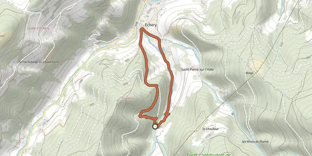 Plan IGN © IGN 2026 · track © OpenStreetMapSentier de découverte et d'interprétation - MoyenVosges, Sainte-Marie-aux-Mines (68) · Loop
 Plan IGN © IGN 2026 · track © OpenStreetMapSentier de FondsHauts-de-France, Peuplingues (62) · Loop
 Plan IGN © IGN 2026Sentier de l'AbbayePays de la Loire, La Meilleraye-de-Bretagne (44) · LoopOfficial rating by Département de Loire-Atlantique
 Plan IGN © IGN 2026Sentier de l'AbbayeÉcrins, Crots (05) · Out and backOfficial rating by Parc national des Écrins
 Plan IGN © IGN 2026 · track © OpenStreetMapSentier de l'AltareCorsica, Asco (2B) · Point to point
 Plan IGN © IGN 2026Sentier de l'échappée verteCentre-Val de Loire, Joué-lès-Tours (37) · LoopOfficial rating by Tours Métropole Val de Loire
 Plan IGN © IGN 2026 · track © OpenStreetMapSentier de l'EcureuilVosges, Mittlach (68) · Loop
 Plan IGN © IGN 2026Sentier de l'Eperon BarréBrittany, La Vicomté-sur-Rance (22) · Loop
 Plan IGN © IGN 2026Sentier de l'escurays à BoitouzePays de la Loire, Prinquiau (44) · LoopOfficial rating by Département de Loire-Atlantique
 Plan IGN © IGN 2026Sentier de l'Etang BernardPays de la Loire, Saint-Étienne-de-Montluc (44) · LoopOfficial rating by Département de Loire-Atlantique
 Plan IGN © IGN 2026Sentier de l'etang de CoismaPays de la Loire, Conquereuil (44) · LoopOfficial rating by Département de Loire-Atlantique