
Les Gourniers discovery path

Key facts
- Distance
- 1.1 km
- Ascent
- +39 m
- Descent
- −29 m
- Estimated time
- 20 min
- hiking
- Difficulty
- Very easy
- official rating
- Route
- Loop
- back to the start
Profile and gradient
- under 10%
- 10 to 20%
- over 20%
Gradient along the route: 0.9 km under 10% and 0.2 km at 10 to 20%. Elevation from 1,473 m to 1,507 m over 1.1 km.
Description
A discovery path with interpretation tables and botanical labels, around the hamlet of Les Gourniers and its «giant's cauldron». This valley-bottom hamlet has retained its traditional charm. The street, edged with rather modest houses, leads to the former school (the Park information centre in July and August) and the small chapel, the Chapelle de la Nativité. I know all the locals and for me it's a real pleasure to spend time listening to the old people talking about years gone by in this mountain valley where - not so very long ago - life was hard. (Mireille Coulon, Park Ranger) In the car park on the right before the bridge. A panel describes and gives details of the route. Take the stone steps on the right which lead to the path. Go along the roadside until you reach the end of the field and take the uphill path on the left. All along the route, there are interpretation tables offering a description and understanding of the valley's landscapes. - You can continue straight ahead for a there-and-back detour to the foot of the La Pissarotte waterfall (allow 15 minutes). - Cross the footbridge over the mountain stream and then head back towards the top end of the hamlet, not forgetting to turn left down to the belvedere that overlooks the giant's cauldron ("Marmite de géant").. - After going past a house, turn left to drop down to the hamlet and back to the car park.
Difficulty
Official rating: very easy, by Parc national des Écrins.
Getting there
Start: Les Gourniers, Réallon (05).
Sources
- Track: Parc national des Écrins, Licence Ouverte 2.0, Licence Ouverte 2.0 (Etalab) (destination.ecrins-parcnational.fr/trek/958354-Sentier-de-decouverte-des-Gourniers). Time estimated by GPX Path with the Mac app rule, breaks not included.
- Official elevation gain: 39 m, Parc national des Écrins
Nearby tracks
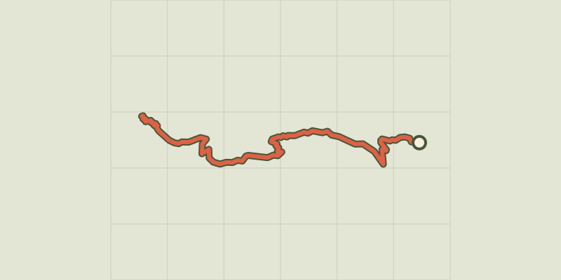
 © OpenStreetMap, SRTM · OpenTopoMap (CC-BY-SA)
Le col de la Coupa
Écrins, Réallon (05) · Out and backOfficial rating by Parc national des Écrins © OpenStreetMap, SRTM · OpenTopoMap (CC-BY-SA)
Oussella loop
Écrins, Réallon (05) · LoopOfficial rating by Parc national des Écrins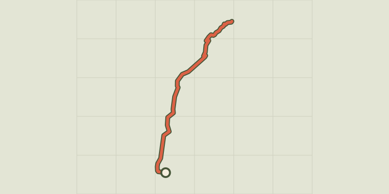 © OpenStreetMap, SRTM · OpenTopoMap (CC-BY-SA)
The chapel at Saint-Marcellin
Écrins, Réallon (05) · Out and backOfficial rating by Parc national des Écrins © OpenStreetMap, SRTM · OpenTopoMap (CC-BY-SA)
Chargès Valley
Écrins, Réallon (05) · Out and backOfficial rating by Parc national des Écrins © OpenStreetMap, SRTM · OpenTopoMap (CC-BY-SA)
The Chargès source
Écrins, Réallon (05) · Out and backOfficial rating by Parc national des Écrins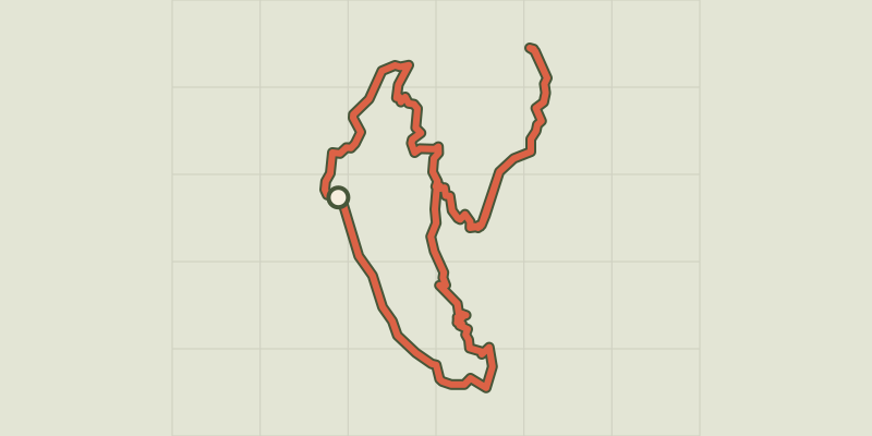 © OpenStreetMap, SRTM · OpenTopoMap (CC-BY-SA)
Balcon de l'Oussella and Quille du Laus
Écrins, Réallon (05) · LoopOfficial rating by Parc national des Écrins