
GPX tracks in Basque Country
4 GPX tracks in Basque Country, with distance, elevation gain and time for each track. Filter by sport, distance, elevation gain and time.
Regions
Pick a region on the map or below. Grey regions have no tracks yet.
Mountain ranges
Pick a mountain range on the map or below: all its tracks, whatever the region.
All GPX tracks in Basque Country
Activity : All activities

 Plan IGN © IGN 2026 · track © OpenStreetMap
Artaga
Basque Country, Saint-Pierre-d'Irube (64) · Loop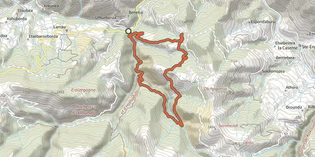 Plan IGN © IGN 2026 · track © OpenStreetMap
Boucle d'Ardakotxea
Pyrenees, Larrau (64) · Loop Plan IGN © IGN 2026 · track © OpenStreetMap
Elorrieta
Pyrenees, Saint-Étienne-de-Baïgorry (64) · Loop
 Plan IGN © IGN 2026 · track © OpenStreetMap
Le sentier d'Ibardin
Basque Country, Urrugne (64) · Loop