
Col de la Gardette
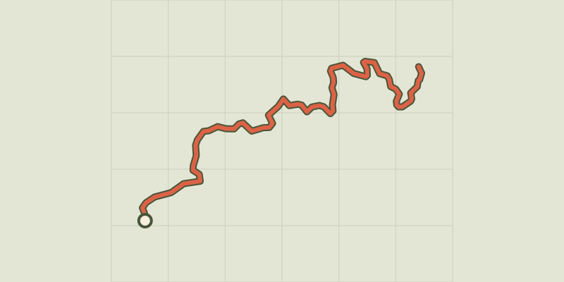
Key facts
- Distance
- 9.3 km
- Ascent
- +670 m
- Descent
- −666 m
- Estimated time
- 3 hr 55
- hiking
- Difficulty
- Moderate
- official rating
- Route
- Out and back
- same way back
Profile and gradient
- under 10%
- 10 to 20%
- over 20%
Gradient along the route: 1.4 km under 10% and 7.9 km at 10 to 20%. Elevation from 1,464 m to 2,126 m over 9.3 km.
Description
A lovely ascent to a bucolic pass where lush green mountain pastures stretch as far as the eye can see. Flower-bedecked alpine pastures await you on the way up, while the Serre-Ponçon lake stretches along the mountainside. At the summit, the Réallon valley also appears when the sun blesses you with its presence. - From Chirouzes car park, follow the track via the yellow markings, then leave the track for a small path on the left after a bend. Cross the track and take the path opposite. Turn left after 30 m towards Col de Chorges. Turn left and pass the farm once you reach the mountain pastures. Turn right at a new house, standing alone, then right again onto the track. At a new car park, follow the track towards Col de Chorges. - 100m after accessing the track through a closed gate, turn right, remaining on a track, then right at the next intersection towards Col de la Gardette. - Cross the stream and go back into the woods. Turn left after 100m and follow the path up to the Col de la Gardette
Difficulty
Official rating: moderate, by Parc national des Écrins.
Getting there
Start: Les Chirouzes, Chorges, Chorges (05).
Sources
- Track: Parc national des Écrins, Licence Ouverte 2.0, Licence Ouverte 2.0 (Etalab) (destination.ecrins-parcnational.fr/trek/991062-Col-de-la-Gardette). Time estimated by GPX Path with the Mac app rule, breaks not included.
- Official elevation gain: 670 m, Parc national des Écrins
Nearby tracks
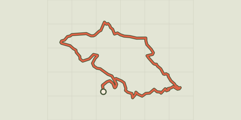
 © OpenStreetMap, SRTM · OpenTopoMap (CC-BY-SA)
The slopes of Chorges
Provence-Alpes-Côte d'Azur, Chorges (05) · LoopOfficial rating by Parc national des Écrins © OpenStreetMap, SRTM · OpenTopoMap (CC-BY-SA)
Le Piolit via the Col de Chorges
Provence-Alpes-Côte d'Azur, Chorges (05) · Out and backOfficial rating by Parc national des Écrins © OpenStreetMap, SRTM · OpenTopoMap (CC-BY-SA)
Combebelle
Provence-Alpes-Côte d'Azur, Chorges (05) · LoopOfficial rating by Parc national des Écrins © OpenStreetMap, SRTM · OpenTopoMap (CC-BY-SA)
Les Antics le Truchet
Provence-Alpes-Côte d'Azur, Chorges (05) · LoopOfficial rating by Parc national des Écrins © OpenStreetMap, SRTM · OpenTopoMap (CC-BY-SA)
La Peyre de l'aigle
Provence-Alpes-Côte d'Azur, Chorges (05) · LoopOfficial rating by Parc national des Écrins © OpenStreetMap, SRTM · OpenTopoMap (CC-BY-SA)
[Sens Action] - Les géants de pierre (the stone giants) and the lion de Salados (lion of Salados)
Provence-Alpes-Côte d'Azur, Chorges (05) · LoopOfficial rating by Parc national des Écrins