
Combebelle

Key facts
- Distance
- 7.3 km
- Ascent
- +351 m
- Descent
- −337 m
- Estimated time
- 2 hr 20
- hiking
- Difficulty
- Easy
- official rating
- Route
- Loop
- back to the start
Profile and gradient
- under 10%
- 10 to 20%
- over 20%
Gradient along the route: 4.9 km under 10%, 1.6 km at 10 to 20% and 0.7 km over 20%. Elevation from 1,460 m to 1,769 m over 7.3 km.
Description
A fairly easy and varied route. Passing through a larch grove, you'll find an area of alpine pastures and Alpine and Mediterranean flora. An unusual route offering breathtaking views of Lake Serre-Ponçon, the Val d'Avance and the surrounding peaks. It's a hike that's accessible to anyone who fancies it. - Take the mountain track which extends the tarmac road, for 300 m then turn left. Follow the path up towards a sheepfold, cross the main track and ascend straight ahead. - Once back on the track, turn right and go straight up to the "Jardin des Gardes" gate. - Enter the alpine pasture area, follow the main track to the shepherd's hut, which you have to skirt to the left, descend along the fence, through the gate, cross the stream and then reach a larch grove, which you have to skirt. A beautiful balcony route that quickly descends to the southwest (be careful of the markings, which can are easy to miss) until it crosses the GR50, which you should follow on the left. - At the bottom of a fairly steep slope, meeting a secondary track, at a place called "Les Combes" you can join the main one at "Les Drayes” and follow it back to your starting point.
Difficulty
Official rating: easy, by Parc national des Écrins.
Getting there
Start: Parking des Chirouzes Naune-Raze, Chorges, Chorges (05).
Sources
- Track: Parc national des Écrins, Licence Ouverte 2.0, Licence Ouverte 2.0 (Etalab) (destination.ecrins-parcnational.fr/trek/996069-Combebelle). Time estimated by GPX Path with the Mac app rule, breaks not included.
- Official elevation gain: 351 m, Parc national des Écrins
Nearby tracks

 © OpenStreetMap, SRTM · OpenTopoMap (CC-BY-SA)
Le Piolit via the Col de Chorges
Provence-Alpes-Côte d'Azur, Chorges (05) · Out and backOfficial rating by Parc national des Écrins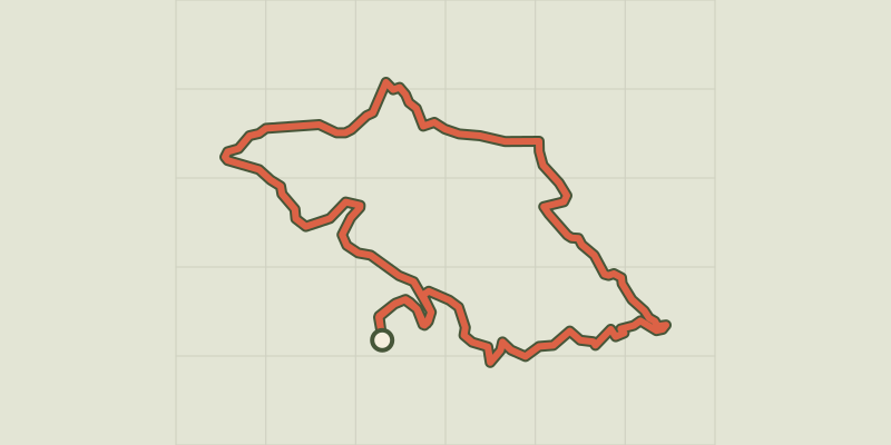 © OpenStreetMap, SRTM · OpenTopoMap (CC-BY-SA)
The slopes of Chorges
Provence-Alpes-Côte d'Azur, Chorges (05) · LoopOfficial rating by Parc national des Écrins © OpenStreetMap, SRTM · OpenTopoMap (CC-BY-SA)
Col de la Gardette
Provence-Alpes-Côte d'Azur, Chorges (05) · Out and backOfficial rating by Parc national des Écrins © OpenStreetMap, SRTM · OpenTopoMap (CC-BY-SA)
Les Antics le Truchet
Provence-Alpes-Côte d'Azur, Chorges (05) · LoopOfficial rating by Parc national des Écrins © OpenStreetMap, SRTM · OpenTopoMap (CC-BY-SA)
La Peyre de l'aigle
Provence-Alpes-Côte d'Azur, Chorges (05) · LoopOfficial rating by Parc national des Écrins © OpenStreetMap, SRTM · OpenTopoMap (CC-BY-SA)
[Sens Action] - Les géants de pierre (the stone giants) and the lion de Salados (lion of Salados)
Provence-Alpes-Côte d'Azur, Chorges (05) · LoopOfficial rating by Parc national des Écrins