
Les Baux de Provence - Le Val d'Enfer

Key facts
- Distance
- 6.1 km
- Ascent
- +217 m
- Descent
- −180 m
- Estimated time
- 1 hr 45
- hiking
- Difficulty
- Easy
- official rating
- Route
- Loop
- back to the start
Profile and gradient
- under 10%
- 10 to 20%
- over 20%
Gradient along the route: 5.4 km under 10% and 0.8 km at 10 to 20%. Elevation from 135 m to 287 m over 6.1 km.
Description
Discover the landscapes evoking the Hell of Dante by browsing the Val d'Enfer ! Over the years, erosion has given the limestone rocks around the Baux-de-Provence forms all more original than the other, which have inspired many beliefs. The omnipresent minerality of the village creates breathtaking landscapes, as well as an exceptional heritage, such as troglodyte buildings. With your back to the Tourist Office, turn right and cross the esplanade. At the end, go down the stairs and follow the road on the left. At the intersection, follow the road to the right in direction of Maillane. Go past the Quarries of Lights, ignore the road that goes down to the left, and just after the sign of end of agglomeration take on the right the way marked PR. Continue straight on this road for 500 m. 1- At the crossing, turn right on the blue marked path, then ignore the path on your left. At the next intersection, climb the path to the left and continue for 1 km. Ignore the path on your left and join immediately after a crossroads near a buried cistern. 2- Take the marked GR® trail on the left and follow it to a DFCI barrier. Climb the very wide path on the right leading to a panorama. Go down the path on the left. Follow the road on the right for 200 m to reach the pierced rock. Return of the descended path by foot. 3- Turn right on the path, follow it for 500 m, and find the intersection of point1. Go down the path already practiced in the other direction and join the end of agglomeration sign. Follow the road towards the Carrières de Lumières and take the marked road PR on the right. Follow it on 200 m. 4- At the level of the stone, engraved ""Le Val d'Enfer - les Portelets", take on the right the way with the feet of the rocks on a few meters, then to return on your steps. Continue on the marked road PR, until the small parking of the old school of Les Baux On the left of the school, go up the concrete road to join the D27. 5- (Caution, traffic) Cross the road and climb the stairs on the right to a parking lot. Once on the parking lot, climb the paved street, pass a fortified gate and cross the town center of Les Baux to reach the starting point.
Difficulty
Official rating: easy, by Parcs naturels régionaux de Provence-Alpes-Côte d'Azur.
Before you go
- For your safety, and for the preservation of forest areas, access to natural areas is regulated from June to September. Inquire during the summer period on 08 11 20 13 13 (price of a local call) or on www.bouches-du-rhone.pref.gouv.fr Download the application for free MYPROVENCE ENVIE DE BALADE (available on Appstore and Android Market).
Getting there
Start: Office de Tourisme, Les Baux-de-Provence, Les Baux-de-Provence (13).
Sources
- Track: Parcs naturels régionaux de Provence-Alpes-Côte d'Azur (Chemins des Parcs), Licence Ouverte 2.0, Licence Ouverte 2.0 (Etalab) (www.cheminsdesparcs.fr/trek/63061-LES-BAUX-DE-PROVENCE---Le-Val-d-Enfer). Time estimated by GPX Path with the Mac app rule, breaks not included.
- Official elevation gain: 217 m, Parcs naturels régionaux de Provence-Alpes-Côte d'Azur
Nearby tracks

 © OpenStreetMap, SRTM · OpenTopoMap (CC-BY-SA)
Les Baux de Provence - Autour de la bauxite
Provence-Alpes-Côte d'Azur, Les Baux-de-Provence (13) · LoopOfficial rating by Parcs naturels régionaux de Provence-Alpes-Côte d'Azur © OpenStreetMap, SRTM · OpenTopoMap (CC-BY-SA)
Les Baux de Provence - Chemin des Trémaïé
Provence-Alpes-Côte d'Azur, Les Baux-de-Provence (13) · LoopOfficial rating by Parcs naturels régionaux de Provence-Alpes-Côte d'Azur © OpenStreetMap, SRTM · OpenTopoMap (CC-BY-SA)
Les Baux de Provence - The Baumayrane ridges
Provence-Alpes-Côte d'Azur, Les Baux-de-Provence (13) · LoopOfficial rating by Parcs naturels régionaux de Provence-Alpes-Côte d'Azur © OpenStreetMap, SRTM · OpenTopoMap (CC-BY-SA)
Maussane les Alpilles - Over the water
Provence-Alpes-Côte d'Azur, Maussane-les-Alpilles (13) · LoopOfficial rating by Parcs naturels régionaux de Provence-Alpes-Côte d'Azur © OpenStreetMap, SRTM · OpenTopoMap (CC-BY-SA)
Maussane les Alpilles - Towards Les-Baux-de-Provence
Provence-Alpes-Côte d'Azur, Maussane-les-Alpilles (13) · LoopOfficial rating by Parcs naturels régionaux de Provence-Alpes-Côte d'Azur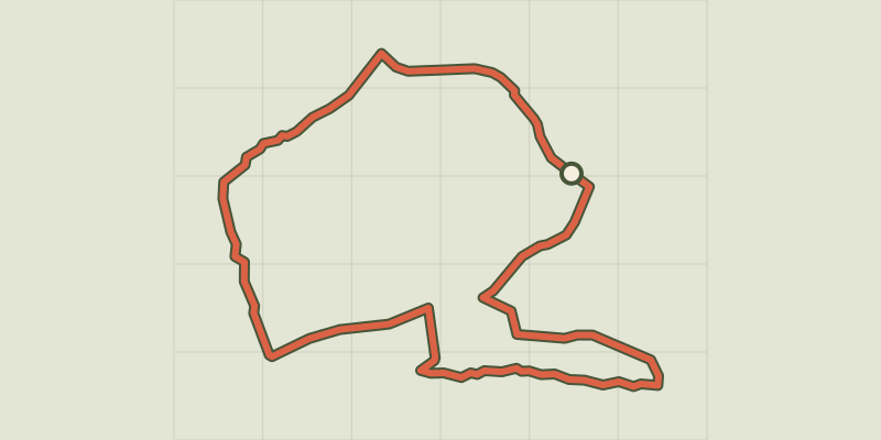 © OpenStreetMap, SRTM · OpenTopoMap (CC-BY-SA)
Le Paradou - Défends de Sousteyran
Provence-Alpes-Côte d'Azur, Paradou (13) · LoopOfficial rating by Parcs naturels régionaux de Provence-Alpes-Côte d'Azur