
Maussane les Alpilles - Over the water

Key facts
- Distance
- 2.1 km
- Ascent
- +11 m
- Descent
- −5 m
- Estimated time
- 30 min
- hiking
- Difficulty
- Very easy
- official rating
- Route
- Loop
- back to the start
Profile and gradient
- under 10%
- 10 to 20%
- over 20%
Gradient along the route: 2.1 km under 10%. Elevation from 30 m to 40 m over 2.1 km.
Description
Welcome to Maussane-les-Alpilles, village "with a thousand fountains"! Maussane-les-Alpilles, and its old center, offers you an unusual walk in the heart of its architectural heritage, like a parenthesis in time. Stroll along the streams, gaudre and fountains that mark the landscape. Whether landscaped or wild, the water will guide your visit for an authentic discovery of this typically Provençal village.. From the starting point, join the avenue des écoles and turn left into Benjamin Priaulet Park. Cross it, follow the wall of the media library on the right and take the pedestrian street of Temps Retrouvé. 1- Turn right, pass the church and cross the Laugier de Monblan square on the left. Cross the avenue of vallée des Baux and go down the Charles Piquet street. 2- Turn right on Charles Piquet car park and cross it to the pedestrian crossing on your right. Go up a few meters and take the Simon Barrier street on the left. 3- Turn right before Simon Barnier car park. At the end of the passage, turn left and join the avenue vallée des Baux Take it on the left and turn right on a footpath just after school. 4- At the end of the road, turn left. Go left on Avenue des Maronniers, then right after on the right, rue du Vieux Maussane. Continue right on Charloun Rieu street 5- Turn right and take the Batignolles path. At the end of the road turn on the road des Baux. After a few meters, turn right before the bridge and follow a path in an undergrowth along a small stream. 6- Climb the slope to the right and follow the path lined with almond trees. Go down the steps on the right and join the Agora parking. Cross it, as well as the Avenue des Alpilles and find the starting point, Henri Giraud square.
Difficulty
Official rating: very easy, by Parcs naturels régionaux de Provence-Alpes-Côte d'Azur.
Before you go
- For your safety, and for the preservation of forest areas, access to natural areas is regulated from June to September. Inquire during the summer period on 08 11 20 13 13 (price of a local call) or on www.bouches-du-rhone.pref.gouv.fr Download the application for free MYPROVENCE ENVIE DE BALADE (available on Appstore and Android Market).
Getting there
Start: Parking Agora, Maussane-les-Alpilles, Maussane-les-Alpilles (13).
Sources
- Track: Parcs naturels régionaux de Provence-Alpes-Côte d'Azur (Chemins des Parcs), Licence Ouverte 2.0, Licence Ouverte 2.0 (Etalab) (www.cheminsdesparcs.fr/trek/49326-MAUSSANE-LES-ALPILLES---Au-fil-de-l-eau). Time estimated by GPX Path with the Mac app rule, breaks not included.
- Official elevation gain: 11 m, Parcs naturels régionaux de Provence-Alpes-Côte d'Azur
Nearby tracks

 © OpenStreetMap, SRTM · OpenTopoMap (CC-BY-SA)
Maussane les Alpilles - Towards Les-Baux-de-Provence
Provence-Alpes-Côte d'Azur, Maussane-les-Alpilles (13) · LoopOfficial rating by Parcs naturels régionaux de Provence-Alpes-Côte d'Azur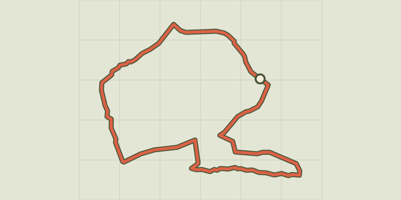 © OpenStreetMap, SRTM · OpenTopoMap (CC-BY-SA)
Le Paradou - Défends de Sousteyran
Provence-Alpes-Côte d'Azur, Paradou (13) · LoopOfficial rating by Parcs naturels régionaux de Provence-Alpes-Côte d'Azur © OpenStreetMap, SRTM · OpenTopoMap (CC-BY-SA)
Le Paradou - The Castillon Towers
Provence-Alpes-Côte d'Azur, Paradou (13) · LoopOfficial rating by Parcs naturels régionaux de Provence-Alpes-Côte d'Azur © OpenStreetMap, SRTM · OpenTopoMap (CC-BY-SA)
Les Baux de Provence - Chemin des Trémaïé
Provence-Alpes-Côte d'Azur, Les Baux-de-Provence (13) · LoopOfficial rating by Parcs naturels régionaux de Provence-Alpes-Côte d'Azur © OpenStreetMap, SRTM · OpenTopoMap (CC-BY-SA)
Les Baux de Provence - Le Val d'Enfer
Provence-Alpes-Côte d'Azur, Les Baux-de-Provence (13) · LoopOfficial rating by Parcs naturels régionaux de Provence-Alpes-Côte d'Azur © OpenStreetMap, SRTM · OpenTopoMap (CC-BY-SA)
Les Baux de Provence - Autour de la bauxite
Provence-Alpes-Côte d'Azur, Les Baux-de-Provence (13) · LoopOfficial rating by Parcs naturels régionaux de Provence-Alpes-Côte d'Azur