
Les Baux de Provence - The Baumayrane ridges

Key facts
- Distance
- 12.1 km
- Ascent
- +295 m
- Descent
- −233 m
- Estimated time
- 3 hr 10
- hiking
- Difficulty
- Moderate
- official rating
- Route
- Loop
- back to the start
Profile and gradient
- under 10%
- 10 to 20%
- over 20%
Gradient along the route: 11.8 km under 10% and 0.3 km at 10 to 20%. Elevation from 82 m to 287 m over 12.1 km.
Description
Leave the foot of Baux-de-Provence, and win the roof of the Alpilles by the peaceful trail of the Lombards! "Discover man-made landscapes, such as olive groves and vineyards in the Baux-de-Provence valley. You can also observe the wild nature on the Baumayrane peaks. Finally, by the way of the Lombards which climbs in laces on 3 km, you will also be able to reach a panoramic point of view opening on the north of Alpilles and Mont Ventoux. " Anastasia Zhukova, Baux-de-Provence tourism office. Back to the Carrières de Lumières car park, take the road on the left, and go directly left on a road marked PR. Continue down this road until the D27 Turn right and follow this road to the entrance of the Baumanière hotel. 1- Cross the road to reach a Department sign and take the path marked PR. At the fork, follow the path marked PR on the right. At the next intersection, turn right and then left just before a Canadian crossing. 500 m further, join another intersection and its Canadian crossing. 2- bifurcate to the left on a tarmac path marked PR. Pass the Sainte-Berthe Mas and continue until the D27. Cross it, then after 150 m take path on the right marked PR. Follow it for 800 m until you reach a crossroads. Cross it and continue straight. At the next intersection keep left and join a hairpin bend. 3- At the bend, take a path marked PR on the left, preceded by a hard-wired barrier. Climb this track in laces for 3 km. At the intersection marked with a cairn, turn left on the track marked GR®, following the sign of the Department "Les Baux-de-Provence 3.7 km". At the next intersection, stay on the GR®6 and follow it for 1.7 km to a cistern. 4- 100 m further, go down on the left the marked path PR, indicated by the sign of the Department "Les Baux-de-Provence by the Val d'Enfer 2 km". At the next junction, continue straight until you reach the D27 road. Follow it to the left to find the starting point.
Difficulty
Official rating: moderate, by Parcs naturels régionaux de Provence-Alpes-Côte d'Azur.
Before you go
- For your safety, and for the preservation of forest areas, access to natural areas is regulated from June to September. Inquire during the summer period on 08 11 20 13 13 (price of a local call) or on www.bouches-du-rhone.pref.gouv.fr Download the application for free MYPROVENCE ENVIE DE BALADE (available on Appstore and Android Market).
Getting there
Start: Parking des Carrières de Lumières, Les Baux-de-Provence, Les Baux-de-Provence (13).
Sources
- Track: Parcs naturels régionaux de Provence-Alpes-Côte d'Azur (Chemins des Parcs), Licence Ouverte 2.0, Licence Ouverte 2.0 (Etalab) (www.cheminsdesparcs.fr/trek/62571-LES-BAUX-DE-PROVENCE---Les-cretes-de-Baumayrane). Time estimated by GPX Path with the Mac app rule, breaks not included.
- Official elevation gain: 295 m, Parcs naturels régionaux de Provence-Alpes-Côte d'Azur
Nearby tracks

 © OpenStreetMap, SRTM · OpenTopoMap (CC-BY-SA)
Les Baux de Provence - Le Val d'Enfer
Provence-Alpes-Côte d'Azur, Les Baux-de-Provence (13) · LoopOfficial rating by Parcs naturels régionaux de Provence-Alpes-Côte d'Azur © OpenStreetMap, SRTM · OpenTopoMap (CC-BY-SA)
Les Baux de Provence - Autour de la bauxite
Provence-Alpes-Côte d'Azur, Les Baux-de-Provence (13) · LoopOfficial rating by Parcs naturels régionaux de Provence-Alpes-Côte d'Azur © OpenStreetMap, SRTM · OpenTopoMap (CC-BY-SA)
Les Baux de Provence - Chemin des Trémaïé
Provence-Alpes-Côte d'Azur, Les Baux-de-Provence (13) · LoopOfficial rating by Parcs naturels régionaux de Provence-Alpes-Côte d'Azur © OpenStreetMap, SRTM · OpenTopoMap (CC-BY-SA)
Maussane les Alpilles - Over the water
Provence-Alpes-Côte d'Azur, Maussane-les-Alpilles (13) · LoopOfficial rating by Parcs naturels régionaux de Provence-Alpes-Côte d'Azur © OpenStreetMap, SRTM · OpenTopoMap (CC-BY-SA)
Maussane les Alpilles - Towards Les-Baux-de-Provence
Provence-Alpes-Côte d'Azur, Maussane-les-Alpilles (13) · LoopOfficial rating by Parcs naturels régionaux de Provence-Alpes-Côte d'Azur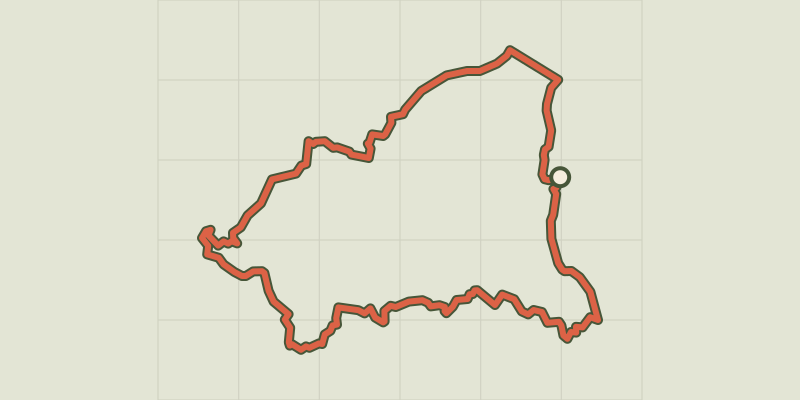 © OpenStreetMap, SRTM · OpenTopoMap (CC-BY-SA)
Saint Remy de Provence - From Saint Rémy to Les Baux
Provence-Alpes-Côte d'Azur, Saint-Rémy-de-Provence (13) · LoopOfficial rating by Parcs naturels régionaux de Provence-Alpes-Côte d'Azur