
GPX tracks in Provence-Alpes-Côte d'Azur (page 10)
1,053 GPX tracks in Provence-Alpes-Côte d'Azur, with distance, elevation gain and time for each track. Filter by department, sport, distance, elevation gain and time.
All GPX tracks in Provence-Alpes-Côte d'Azur
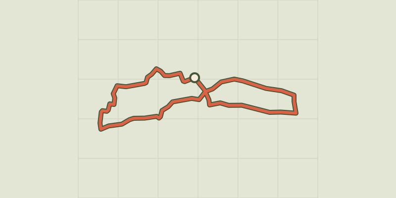
 © OpenStreetMap, SRTM · OpenTopoMap (CC-BY-SA)
Cucuron Wine Trail
Luberon, Cucuron (84) · LoopOfficial rating by Parcs naturels régionaux de Provence-Alpes-Côte d'Azur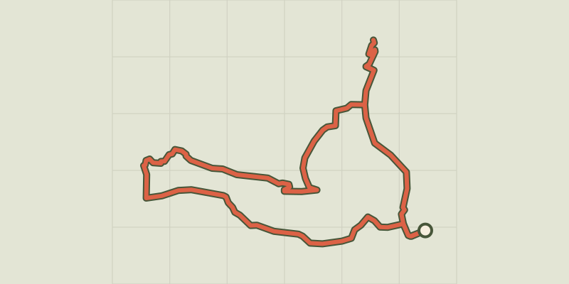 © OpenStreetMap, SRTM · OpenTopoMap (CC-BY-SA)
Cucuron-Vaugines - Chemin de pelerinage
Luberon, Cucuron (84) · LoopOfficial rating by Parcs naturels régionaux de Provence-Alpes-Côte d'Azur © OpenStreetMap, SRTM · OpenTopoMap (CC-BY-SA)
Cuges-les-Pins - Crête de la Sainte-Baume et Grand Vallon
Provence-Alpes-Côte d'Azur, Cuges-les-Pins (13) · LoopOfficial rating by Parcs naturels régionaux de Provence-Alpes-Côte d'Azur © OpenStreetMap, SRTM · OpenTopoMap (CC-BY-SA)
Cuges-les-Pins - Crête de la Sainte-Baume et Jas de Frédéric
Provence-Alpes-Côte d'Azur, Cuges-les-Pins (13) · LoopOfficial rating by Parcs naturels régionaux de Provence-Alpes-Côte d'Azur
 © OpenStreetMap, SRTM · OpenTopoMap (CC-BY-SA)
From one bank of the Durance to the other
Écrins, Embrun (05) · LoopOfficial rating by Parc national des Écrins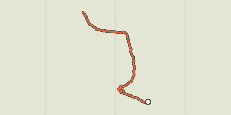 © OpenStreetMap, SRTM · OpenTopoMap (CC-BY-SA)
De Cervières à la haute vallée de la Clarée
Provence-Alpes-Côte d'Azur, Cervières (05) · Out and backOfficial rating by Parc national des Écrins © OpenStreetMap, SRTM · OpenTopoMap (CC-BY-SA)
De Cervières au Col de l'Échelle
Provence-Alpes-Côte d'Azur, Cervières (05) · Out and backOfficial rating by Parc national des Écrins © OpenStreetMap, SRTM · OpenTopoMap (CC-BY-SA)
From Chabournéou to Vallonpierre on the Minister's footpath
Écrins, La Chapelle-en-Valgaudémar (05) · LoopOfficial rating by Parc national des Écrins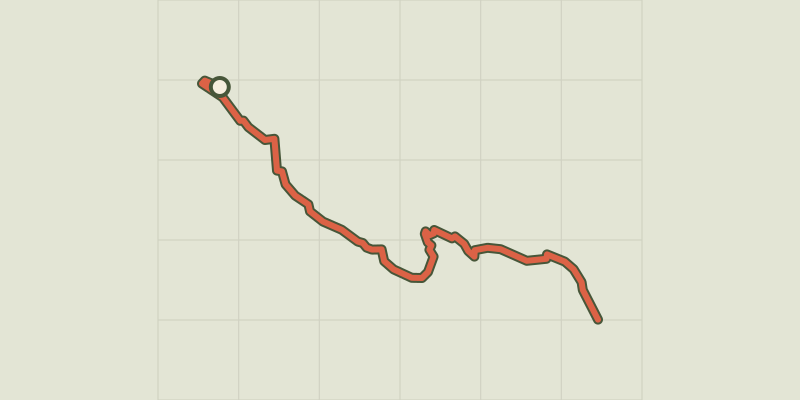
 © OpenStreetMap, SRTM · OpenTopoMap (CC-BY-SA)
De Chorges à la Baie Saint-Michel en VTT ou Gravel
Provence-Alpes-Côte d'Azur, Chorges (05) · Point to pointOfficial rating by Parc national des Écrins © OpenStreetMap, SRTM · OpenTopoMap (CC-BY-SA)
From Chorges to Baie-Saint-Michel
Provence-Alpes-Côte d'Azur, Chorges (05) · Out and backOfficial rating by Parc national des Écrins © OpenStreetMap, SRTM · OpenTopoMap (CC-BY-SA)
De col en col jusqu'à Vallonpierre
Écrins, Champoléon (05) · Point to pointOfficial rating by Parc national des Écrins © OpenStreetMap, SRTM · OpenTopoMap (CC-BY-SA)
De La Grave au Col de l'Échelle
Écrins, La Grave (05) · Out and backOfficial rating by Parc national des Écrins © OpenStreetMap, SRTM · OpenTopoMap (CC-BY-SA)
De La Grave au col de Sarenne par l'Alpe d'Huez
Écrins, La Grave (05) · LoopOfficial rating by Parc national des Écrins © OpenStreetMap, SRTM · OpenTopoMap (CC-BY-SA)
De La Grave au Col du Galibier
Écrins, La Grave (05) · Out and backOfficial rating by Parc national des Écrins © OpenStreetMap, SRTM · OpenTopoMap (CC-BY-SA)
De La Grave au hameau de Ventelon
Écrins, La Grave (05) · LoopOfficial rating by Parc national des Écrins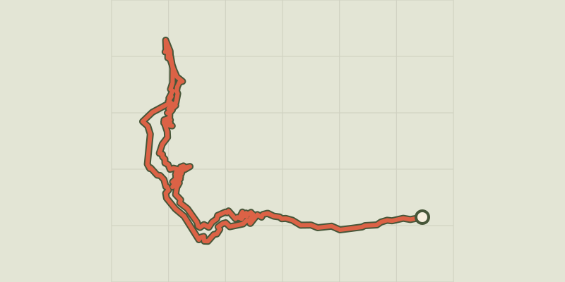 © OpenStreetMap, SRTM · OpenTopoMap (CC-BY-SA)
De La Grave au Lac du Verney par les balcons de l'Oisans en vélo de route
Écrins, La Grave (05) · LoopOfficial rating by Parc national des Écrins © OpenStreetMap, SRTM · OpenTopoMap (CC-BY-SA)
De La Vachette à Laval
Provence-Alpes-Côte d'Azur, Val-des-Prés (05) · Out and backOfficial rating by Parc national des Écrins © OpenStreetMap, SRTM · OpenTopoMap (CC-BY-SA)
De Névache à Plampinet
Provence-Alpes-Côte d'Azur, Névache (05) · Out and backOfficial rating by Parc national des Écrins © OpenStreetMap, SRTM · OpenTopoMap (CC-BY-SA)
De Névache au col de l'Izoard
Provence-Alpes-Côte d'Azur, Névache (05) · Out and backOfficial rating by Parc national des Écrins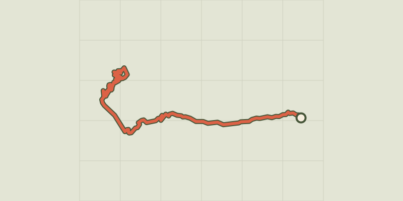 © OpenStreetMap, SRTM · OpenTopoMap (CC-BY-SA)
De Villar d'Arène à l'Alpe d'Huez
Écrins, Villar-d'Arêne (05) · LoopOfficial rating by Parc national des Écrins © OpenStreetMap, SRTM · OpenTopoMap (CC-BY-SA)
De Villar d'Arène au hameau des Hières
Écrins, Villar-d'Arêne (05) · Out and backOfficial rating by Parc national des Écrins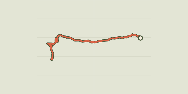 © OpenStreetMap, SRTM · OpenTopoMap (CC-BY-SA)
De Villar d'Arène aux Deux Alpes
Écrins, Villar-d'Arêne (05) · Out and backOfficial rating by Parc national des Écrins © OpenStreetMap, SRTM · OpenTopoMap (CC-BY-SA)
De Villar d'Arène jusqu'au Col du Lautaret
Écrins, Villar-d'Arêne (05) · Out and backOfficial rating by Parc national des Écrins © OpenStreetMap, SRTM · OpenTopoMap (CC-BY-SA)
From Villar-Loubière to La-Chapelle-en-Valgaudemar
Écrins, Villar-Loubière (05) · Point to pointOfficial rating by Parc national des Écrins