
From Chorges to Baie-Saint-Michel

Key facts
- Distance
- 14.4 km
- Ascent
- +290 m
- Descent
- −260 m
- Estimated time
- 3 hr 45
- hiking
- Difficulty
- Easy
- official rating
- Route
- Out and back
- same way back
Profile and gradient
- under 10%
- 10 to 20%
- over 20%
Gradient along the route: 13.7 km under 10% and 0.7 km at 10 to 20%. Elevation from 787 m to 903 m over 14.4 km.
Description
A route accessible to all to the lake and the magnificent Baie Saint Michel from the village of Chorges. Don't be fooled by the surrounding high peaks - you can expect some Mediterranean vegetation on this route! Pines and shrubs stretch to the shores of the lake, which finally reveals its emerald waters as you approach the bay. - From the station car park, head along the railway line as far as the Intermarché supermarket. Then cross the railway tracks and immediately turn left onto a small road. Go straight on for 400m, then cross the lane to the left and follow the road. Once you reach the main road, turn right onto the main road and then left again 400m further on, towards the hamlet of Miamellon. Continue along this small road past the bridge over the railway line and past the farm. - 200m after the farm, leave the road and take a track on the left. Continue on the track at the first intersection. - At the junction with another track, turn right towards Baie Saint Michel and left onto a small track 100m further up. Follow the small path through the woods and continue straight on to Mareisson. Cross the track and head towards Bair Saint Michel. Keep left at the next two intersections. - Travel along the railway line along the field. Do not cross the bridge. Join a small road and turn right. Pass the veterans' memorial and continue along the road towards the beaches of Baie-Saint-Michel. The return journey then takes the same route.
Difficulty
Official rating: easy, by Parc national des Écrins.
Getting there
Start: Parking de la Gare, Chorges, Chorges (05).
Sources
- Track: Parc national des Écrins, Licence Ouverte 2.0, Licence Ouverte 2.0 (Etalab) (destination.ecrins-parcnational.fr/trek/991185-De-Chorges-a-la-Baie-Saint-Michel). Time estimated by GPX Path with the Mac app rule, breaks not included.
- Official elevation gain: 290 m, Parc national des Écrins
Nearby tracks

 © OpenStreetMap, SRTM · OpenTopoMap (CC-BY-SA)
Le Fein loop
Provence-Alpes-Côte d'Azur, Chorges (05) · LoopOfficial rating by Parc national des Écrins © OpenStreetMap, SRTM · OpenTopoMap (CC-BY-SA)
Le Pré de l'Aubre
Provence-Alpes-Côte d'Azur, Chorges (05) · LoopOfficial rating by Parc national des Écrins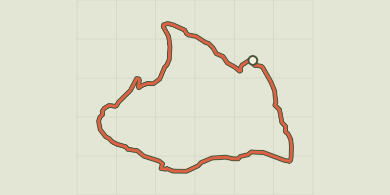 © OpenStreetMap, SRTM · OpenTopoMap (CC-BY-SA)
Bois Seignières
Provence-Alpes-Côte d'Azur, Chorges (05) · LoopOfficial rating by Parc national des Écrins © OpenStreetMap, SRTM · OpenTopoMap (CC-BY-SA)
Les Antics le Truchet
Provence-Alpes-Côte d'Azur, Chorges (05) · LoopOfficial rating by Parc national des Écrins © OpenStreetMap, SRTM · OpenTopoMap (CC-BY-SA)
Clot-Clavary
Provence-Alpes-Côte d'Azur, Chorges (05) · LoopOfficial rating by Parc national des Écrins © OpenStreetMap, SRTM · OpenTopoMap (CC-BY-SA)
La Peyre de l'aigle
Provence-Alpes-Côte d'Azur, Chorges (05) · LoopOfficial rating by Parc national des Écrins