
Aiguilles de Chabrières

Key facts
- Distance
- 11.1 km
- Ascent
- +843 m
- Descent
- −796 m
- Estimated time
- 1 hr 55
- trail running
- Difficulty
- Moderate
- official rating
- Route
- Loop
- back to the start
Profile and gradient
- under 10%
- 10 to 20%
- over 20%
Gradient along the route: 3.6 km under 10%, 4.7 km at 10 to 20% and 2.8 km over 20%. Elevation from 1,554 m to 2,342 m over 11.1 km.
Description
A varied route through woodland, alpine pastures and rocky outcrops, with beautiful views of Lake Serre-Ponçon, the Oucanes and the Aiguilles de Chabrières. Boasting lovely views over the Gapençais and the Réallon valley, this hike will delight geology enthusiasts as they pass through the Oucanes and near the Aiguilles de Chabrières. From the car park, take the Joubelle forest path. After a bend to the left, continue for about 500 m. - Then take a path that veers to the right and rises quickly through the woods. Cross the Serre du mouton mountain pasture. After it levels out, the path climbs back up to an open ridge from which you can see Lake Serre-Ponçon. - The route follows the ridge that leads to the top of the Chabrières chairlift and an orientation table. Continue along the clearly visible path, which descends slightly and continues on a balcony to reach the foot of the couloir, which you will climb up to the Brèche de Chabrières (2280 m). The path continues uphill to the ridge overlooking the village of Chorges. - The path bypasses the Oucanes and descends across the Rougnous plateau. Continue downhill via a series of switchbacks, then keep right at the crossroads until you reach the ski slopes. - Continue downhill to reach the resort.
Difficulty
Official rating: moderate, by Parc national des Écrins.
Getting there
Start: Station de Réallon, Réallon (05).
Sources
- Track: Parc national des Écrins, Licence Ouverte 2.0, Licence Ouverte 2.0 (Etalab) (destination.ecrins-parcnational.fr/trek/995595-Aiguilles-de-Chabrieres). Time estimated by GPX Path with the Mac app rule, breaks not included.
- Official elevation gain: 843 m, Parc national des Écrins
Nearby tracks

 © OpenStreetMap, SRTM · OpenTopoMap (CC-BY-SA)
Saint-Apollinaire lake
Écrins, Réallon (05) · LoopOfficial rating by Parc national des Écrins © OpenStreetMap, SRTM · OpenTopoMap (CC-BY-SA)
The chalets of Vaucluse
Écrins, Réallon (05) · LoopOfficial rating by Parc national des Écrins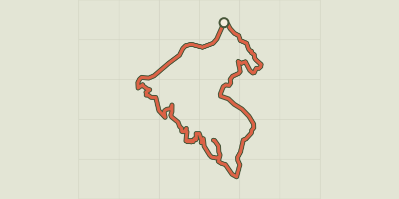 © OpenStreetMap, SRTM · OpenTopoMap (CC-BY-SA)
Pierre-Arnoux
Écrins, Savines-le-Lac (05) · LoopOfficial rating by Parc national des Écrins © OpenStreetMap, SRTM · OpenTopoMap (CC-BY-SA)
Mont Guillaume
Écrins, Embrun (05) · LoopOfficial rating by Parc national des Écrins © OpenStreetMap, SRTM · OpenTopoMap (CC-BY-SA)
Pré clos
Écrins, Embrun (05) · LoopOfficial rating by Parc national des Écrins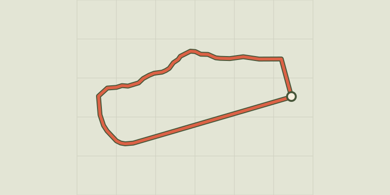 © OpenStreetMap, SRTM · OpenTopoMap (CC-BY-SA)
Around the lake
Écrins, Embrun (05) · LoopOfficial rating by Parc national des Écrins