
Saint-Apollinaire lake

Key facts
- Distance
- 8.3 km
- Ascent
- +284 m
- Descent
- −259 m
- Estimated time
- 1 hr 05
- trail running
- Difficulty
- Very easy
- official rating
- Route
- Loop
- back to the start
Profile and gradient
- under 10%
- 10 to 20%
- over 20%
Gradient along the route: 6.8 km under 10%, 1.2 km at 10 to 20% and 0.2 km over 20%. Elevation from 1,395 m to 1,630 m over 8.3 km.
Description
1. From the car park, take the Joubelle trail (in the forest). Follow it for about an hour. If you want to go to the Joubelle cabin, follow the indications on the right "cabane de Joubelle." If you want to go directly to Saint-Apollinaire lake, take the steeply descending path on your left to Saint-Apollinaire lake. 2. The starting point for the Saint-Apollinaire lake trail is just before the one for the Joubelle cabin. If you have reached the Joubelle cabin, you’ve gone too far. From the lake, follow the GR 50 (red and white markings), which partially follows the paved road, then leaves it via a path on the left (300 meters after the lower parking lot). 3. Follow this path (Chemin des Faysses) along the mountainside until you rejoin the paved road below the station at the farm and place called "Forest du Bayle." From there, climb back to the resort on the road (800m).
Difficulty
Official rating: very easy, by Parc national des Écrins.
Getting there
Start: Station de Réallon, Réallon, Réallon (05).
Sources
- Track: Parc national des Écrins, Licence Ouverte 2.0, Licence Ouverte 2.0 (Etalab) (destination.ecrins-parcnational.fr/trek/995601-Lac-de-Saint-Apollinaire). Time estimated by GPX Path with the Mac app rule, breaks not included.
- Official elevation gain: 284 m, Parc national des Écrins
Nearby tracks
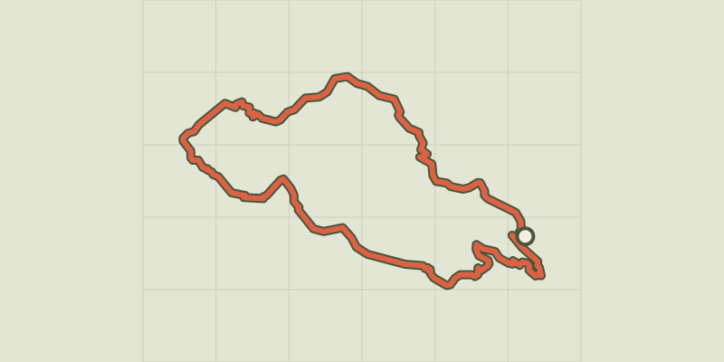
 © OpenStreetMap, SRTM · OpenTopoMap (CC-BY-SA)
Aiguilles de Chabrières
Écrins, Réallon (05) · LoopOfficial rating by Parc national des Écrins © OpenStreetMap, SRTM · OpenTopoMap (CC-BY-SA)
The chalets of Vaucluse
Écrins, Réallon (05) · LoopOfficial rating by Parc national des Écrins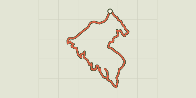 © OpenStreetMap, SRTM · OpenTopoMap (CC-BY-SA)
Pierre-Arnoux
Écrins, Savines-le-Lac (05) · LoopOfficial rating by Parc national des Écrins © OpenStreetMap, SRTM · OpenTopoMap (CC-BY-SA)
Mont Guillaume
Écrins, Embrun (05) · LoopOfficial rating by Parc national des Écrins © OpenStreetMap, SRTM · OpenTopoMap (CC-BY-SA)
Pré clos
Écrins, Embrun (05) · LoopOfficial rating by Parc national des Écrins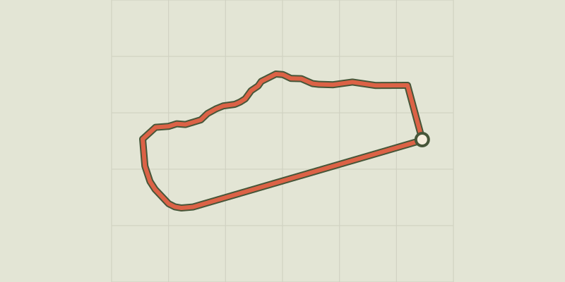 © OpenStreetMap, SRTM · OpenTopoMap (CC-BY-SA)
Around the lake
Écrins, Embrun (05) · LoopOfficial rating by Parc national des Écrins