
The chalets of Vaucluse
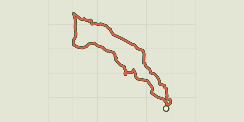
Key facts
- Distance
- 7.9 km
- Ascent
- +299 m
- Descent
- −281 m
- Estimated time
- 1 hr 05
- trail running
- Difficulty
- Very easy
- official rating
- Route
- Loop
- back to the start
Profile and gradient
- under 10%
- 10 to 20%
- over 20%
Gradient along the route: 5.7 km under 10% and 2.2 km at 10 to 20%. Elevation from 1,555 m to 1,798 m over 7.9 km.
Description
Following moderately technical trails, this route leads through impressive larch forests beneath the Aiguilles de Chabrières. Below the Aiguilles de Chabrières, this route takes in some superb forest trails. Halfway along the route, the chalets of the hamlet of Vaucluse and further on the Font Renarde hut come into view as you approach the clearings on the northern slopes of the Réallon valley. - From the end of the car park turn right through the heart of the resort. At the signpost, continue left uphill on the track and then the road. - From here, continue across the road on the path. Stay on the main balcony path until you reach a track. Ascend for 100m, then take the right-hand path to the Chalets de Vaucluse. Cross between them to reach a track and take it to the right for 150m. - At the bend by a house, bear left onto the path. 300m further on, at the crossroads, turn left onto the balcony path leading to the Font Renarde hut. - Continue below the Aiguilles de Chabrières, passing along the balcony path in the scree. At first the path becomes a wide track and then falls back onto a track. - Take it downhill until you reach the centre of the resort.
Difficulty
Official rating: very easy, by Parc national des Écrins.
Getting there
Start: Station de Réallon, Réallon, Réallon (05).
Sources
- Track: Parc national des Écrins, Licence Ouverte 2.0, Licence Ouverte 2.0 (Etalab) (destination.ecrins-parcnational.fr/trek/995648-Les-chalets-de-Vaucluse). Time estimated by GPX Path with the Mac app rule, breaks not included.
- Official elevation gain: 299 m, Parc national des Écrins
Nearby tracks

 © OpenStreetMap, SRTM · OpenTopoMap (CC-BY-SA)
Saint-Apollinaire lake
Écrins, Réallon (05) · LoopOfficial rating by Parc national des Écrins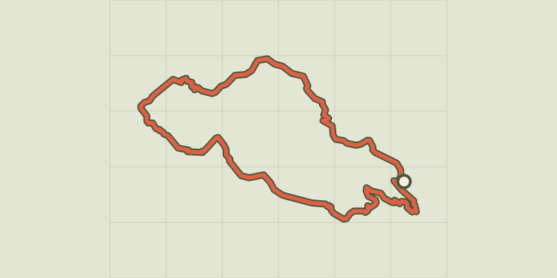 © OpenStreetMap, SRTM · OpenTopoMap (CC-BY-SA)
Aiguilles de Chabrières
Écrins, Réallon (05) · LoopOfficial rating by Parc national des Écrins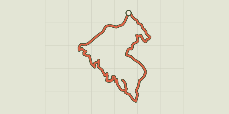 © OpenStreetMap, SRTM · OpenTopoMap (CC-BY-SA)
Pierre-Arnoux
Écrins, Savines-le-Lac (05) · LoopOfficial rating by Parc national des Écrins © OpenStreetMap, SRTM · OpenTopoMap (CC-BY-SA)
Mont Guillaume
Écrins, Embrun (05) · LoopOfficial rating by Parc national des Écrins © OpenStreetMap, SRTM · OpenTopoMap (CC-BY-SA)
Pré clos
Écrins, Embrun (05) · LoopOfficial rating by Parc national des Écrins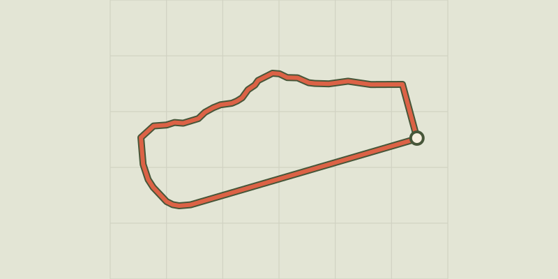 © OpenStreetMap, SRTM · OpenTopoMap (CC-BY-SA)
Around the lake
Écrins, Embrun (05) · LoopOfficial rating by Parc national des Écrins