
Chemin de la Durance

Key facts
- Distance
- 5.6 km
- Ascent
- +126 m
- Descent
- −105 m
- Estimated time
- 1 hr 30
- hiking
- Difficulty
- Very easy
- official rating
- Route
- Out and back
- same way back
Profile and gradient
- under 10%
- 10 to 20%
- over 20%
Gradient along the route: 5.6 km under 10%. Elevation from 868 m to 940 m over 5.6 km.
Description
The variety of new discoveries is what makes this short walk so rich. So many curiosities to be discovered with the family! You are plunged into nature from your very first steps along the path, passing close to agricultural fields offering unobstructed views of the landscape. The highlight of this trail is the Herbonne plateau, also known as the glacial rock. Your explorations continue as you make your way to the Chapelle St-James and the Durance. From the car park, turn right. Follow the road-side and turn left towards Les Baumes. - Go under the Les Eygas bridge, and then follow the path on the left heading towards Rabioux. From the path, join a track and continue past the houses. At the next crossroads at « Serre des Gayes », go right towards « Le Rabioux ». When you reach the fields lower down, follow the path leading uphill. Continue to head towards Rabioux and go past the interpretation trail ("sentier d'interprétation"). As you emerge from the forest, where the track reaches the fields turn left at the intersection. - After a few metres, take the road on the right. From here, head towards Le Rabioux. - Go along the road-side and then, at the Herbonne plateau, take the track on the left and carry on towards the chapel of Saint James. Just before this, follow the path running downhill to the left towards Le Rabioux. For the return stretch, go across the Pont de Eygas.
Difficulty
Official rating: very easy, by Parc national des Écrins.
Getting there
Start: Ancienne gare SNCF, Châteauroux-les-Alpes, Châteauroux-les-Alpes (05).
Sources
- Track: Parc national des Écrins, Licence Ouverte 2.0, Licence Ouverte 2.0 (Etalab) (destination.ecrins-parcnational.fr/trek/974267-Chemin-de-la-Durance). Time estimated by GPX Path with the Mac app rule, breaks not included.
- Official elevation gain: 126 m, Parc national des Écrins
Nearby tracks

 © OpenStreetMap, SRTM · OpenTopoMap (CC-BY-SA)
Sentier des Vignes - Grapevine path
Écrins, Châteauroux-les-Alpes (05) · LoopOfficial rating by Parc national des Écrins © OpenStreetMap, SRTM · OpenTopoMap (CC-BY-SA)
The Roche Rousse belvedere
Écrins, Châteauroux-les-Alpes (05) · Out and backOfficial rating by Parc national des Écrins © OpenStreetMap, SRTM · OpenTopoMap (CC-BY-SA)
Cascade de la Pisse in Châteauroux-Les-Alpes
Écrins, Châteauroux-les-Alpes (05) · Out and backOfficial rating by Parc national des Écrins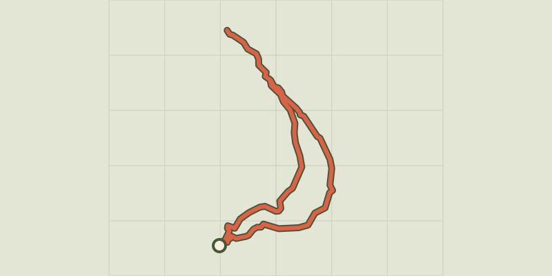 © OpenStreetMap, SRTM · OpenTopoMap (CC-BY-SA)
Saint-Alban loop
Écrins, Châteauroux-les-Alpes (05) · LoopOfficial rating by Parc national des Écrins © OpenStreetMap, SRTM · OpenTopoMap (CC-BY-SA)
Cabane de l'Aiguille loop
Écrins, Embrun (05) · LoopOfficial rating by Parc national des Écrins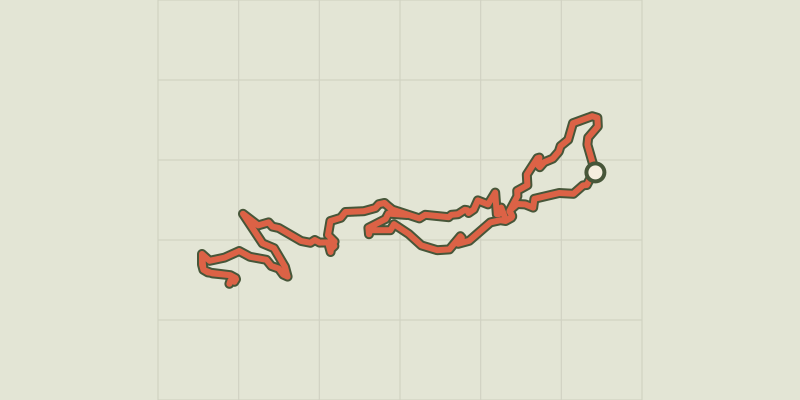 © OpenStreetMap, SRTM · OpenTopoMap (CC-BY-SA)
Mont Guillaume, Seyères chapel
Écrins, Embrun (05) · LoopOfficial rating by Parc national des Écrins