
The Liou wetland
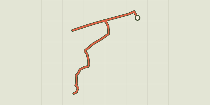
Key facts
- Distance
- 1.1 km
- Ascent
- +2 m
- Descent
- −0 m
- Estimated time
- 15 min
- hiking
- Difficulty
- Very easy
- official rating
- Route
- Out and back
- same way back
Profile and gradient
- under 10%
- 10 to 20%
- over 20%
Gradient along the route: 1.1 km under 10%. Elevation from 780 m to 782 m over 1.1 km.
Description
Unique in the Hautes-Alpes, in the heart of a sensitive natural area, discover the richness of this specific environment by following a path on stilts that takes you into a nature that is usually inaccessible. On-site, make your walk interactive by using your mobile phone to connect to the DNS marker on the "eco-balade" page. You'll then have access to the flora and fauna you can observe around you. Accessible to all, the trail is made up of a mosaic of landscapes and has been specially designed on stilts to preserve the ecosystem. Passing discreetly over the water, discover the wealth of natural habitats as you cross a forest drowned in the sandy fill of the Lac de Serre-Ponçon. And all this right next to a shopping area! At the start of the cul-de-sac used as a car park is the explanatory panel marking the start of the Petit Liou wetland discovery trail. This is where you can log on to the "eco-balade" page, which serves as a guide and information document for the walk. Take the path towards the river. Turn right, and walk down along La Durance. A hundred or so metres further on, the stilted path begins on the left. It is possible to make a round trip to the end of the dam from this point. The path is interrupted by a vague track that you must follow in the direction of the lake for around a hundred metres. The path starts again on the left and soon gives way to a wooden footbridge over the water. Follow the path on stilts along the information panels about the area you have crossed until you reach an observation tower overlooking Lac de Serre-Ponçon. From there, return by the same route.
Difficulty
Official rating: very easy, by Parc national des Écrins.
Getting there
Start: Zone commerciale "Les portes du Lac", Baratier (05).
Sources
- Track: Parc national des Écrins, Licence Ouverte 2.0, Licence Ouverte 2.0 (Etalab) (destination.ecrins-parcnational.fr/trek/995608-La-zone-humide-du-Liou). Time estimated by GPX Path with the Mac app rule, breaks not included.
- Official elevation gain: 2 m, Parc national des Écrins
Nearby tracks

 © OpenStreetMap, SRTM · OpenTopoMap (CC-BY-SA)
Lake
Écrins, Embrun (05) · LoopOfficial rating by Parc national des Écrins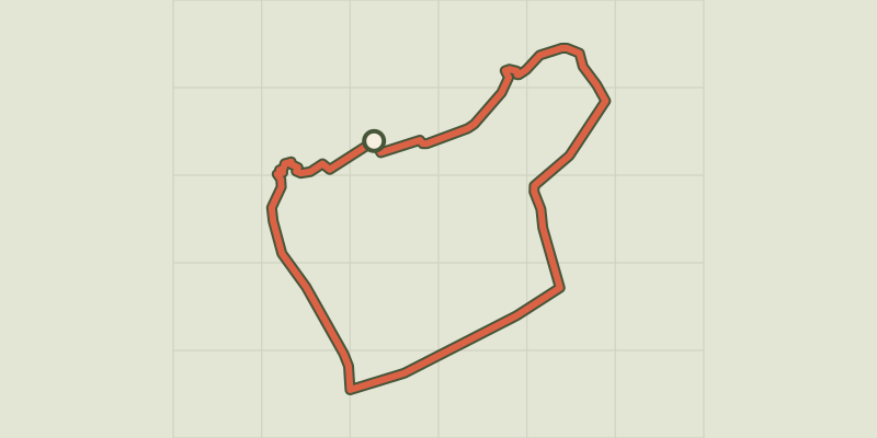 © OpenStreetMap, SRTM · OpenTopoMap (CC-BY-SA)
La plaine sous le roc
Écrins, Embrun (05) · LoopOfficial rating by Parc national des Écrins © OpenStreetMap, SRTM · OpenTopoMap (CC-BY-SA)
Muande de Bonnabelle
Écrins, Puy-Sanières (05) · LoopOfficial rating by Parc national des Écrins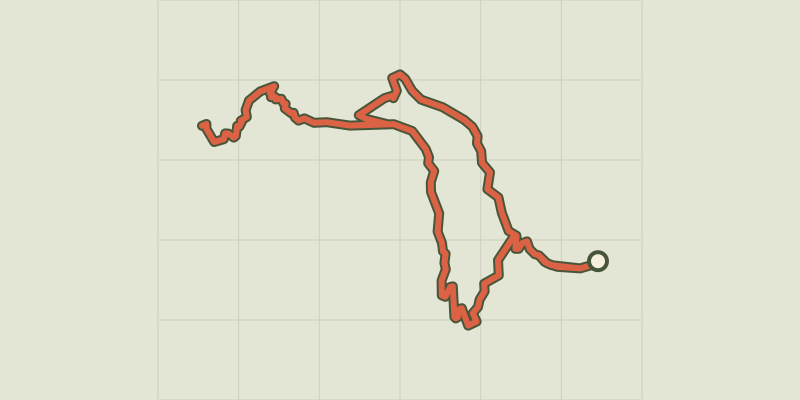 © OpenStreetMap, SRTM · OpenTopoMap (CC-BY-SA)
Lac de l'Hivernet
Écrins, Embrun (05) · LoopOfficial rating by Parc national des Écrins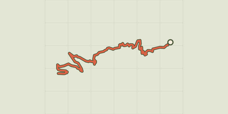 © OpenStreetMap, SRTM · OpenTopoMap (CC-BY-SA)
The Mont Guillaume
Écrins, Embrun (05) · Out and backOfficial rating by Parc national des Écrins © OpenStreetMap, SRTM · OpenTopoMap (CC-BY-SA)
Cabane de l'Aiguille loop
Écrins, Embrun (05) · LoopOfficial rating by Parc national des Écrins