
Lake
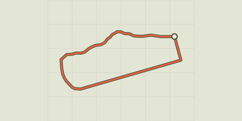
Key facts
- Distance
- 2.6 km
- Ascent
- +8 m
- Descent
- −0 m
- Estimated time
- 35 min
- hiking
- Difficulty
- Very easy
- official rating
- Route
- Loop
- back to the start
Profile and gradient
- under 10%
- 10 to 20%
- over 20%
Gradient along the route: 2.6 km under 10%. Elevation from 780 m to 784 m over 2.6 km.
Description
A varied excursion, perfect for the whole family to enjoy the landscape as well as the activities on offer at the lake. Close to the town centre, enjoy this outing on the dyke with the whole family. This centre for recreation and discovery is located by a leisure base where numerous activities are on offer. This ride takes you to grassy lake shores and picnic areas on the water's edge. It runs along the Durance and to the Lac de Serre-Ponçon, with a mountainous backdrop. From the car park, turn right. After the lakeside beaches, cross the footbridge over the Saint Marthe mountain stream. - After a few metres, turn left onto the footpath running along the lake shore. - When you come to a place signposted « les jardins du lac », take the road leading downhill and then carry on along the water's edge. Cross the bridge and continue along the dyke (information panels). At the canoe/kayak centre. - At the end of the straight stretch, go across the wooden decking to return to the car park you started out from.
Difficulty
Official rating: very easy, by Parc national des Écrins.
Before you go
- It can also be started from the town centre, at the Tour Brune car park. This is a shared route, so remember you are sharing the pathways with other users. Bikes are prohibited on the path on the right-hand shore of the lake.
Getting there
Start: Plan d'eau, Embrun, Embrun (05).
Sources
- Track: Parc national des Écrins, Licence Ouverte 2.0, Licence Ouverte 2.0 (Etalab) (destination.ecrins-parcnational.fr/trek/974442-Le-tour-du-plan-d-eau). Time estimated by GPX Path with the Mac app rule, breaks not included.
- Official elevation gain: 8 m, Parc national des Écrins
Nearby tracks

 © OpenStreetMap, SRTM · OpenTopoMap (CC-BY-SA)
The Liou wetland
Écrins, Baratier (05) · Out and backOfficial rating by Parc national des Écrins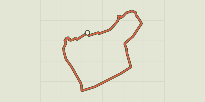 © OpenStreetMap, SRTM · OpenTopoMap (CC-BY-SA)
La plaine sous le roc
Écrins, Embrun (05) · LoopOfficial rating by Parc national des Écrins © OpenStreetMap, SRTM · OpenTopoMap (CC-BY-SA)
Muande de Bonnabelle
Écrins, Puy-Sanières (05) · LoopOfficial rating by Parc national des Écrins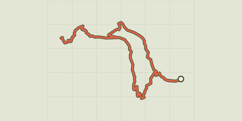 © OpenStreetMap, SRTM · OpenTopoMap (CC-BY-SA)
Lac de l'Hivernet
Écrins, Embrun (05) · LoopOfficial rating by Parc national des Écrins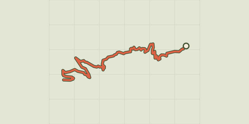 © OpenStreetMap, SRTM · OpenTopoMap (CC-BY-SA)
The Mont Guillaume
Écrins, Embrun (05) · Out and backOfficial rating by Parc national des Écrins © OpenStreetMap, SRTM · OpenTopoMap (CC-BY-SA)
Cabane de l'Aiguille loop
Écrins, Embrun (05) · LoopOfficial rating by Parc national des Écrins