
Lakes tour

Key facts
- Distance
- 13.0 km
- Ascent
- +1,051 m
- Descent
- −1,026 m
- Estimated time
- 5 hr 50
- hiking
- Difficulty
- Difficult
- official rating
- Route
- Loop
- back to the start
Profile and gradient
- under 10%
- 10 to 20%
- over 20%
Gradient along the route: 2.3 km under 10%, 7.1 km at 10 to 20% and 3.6 km over 20%. Elevation from 1,442 m to 2,467 m over 13.0 km.
Description
A pleasant loop between larch forest, pastures, rocky paving with the added benefit of two lakes in the hollow of a natural cirque. One summer night, at around 4 a.m, we were woken by the throaty, insistent call of a rock ptarmigan. The small grassy plateau overlooking the valley where we had put up our bivouac was in its territory and it was letting us know. Jean-Philippe Telmon et Blandine Delenatte, Wardens Park at the Cascades car park, at the end of the road to the bottom of the Fressinières valley. Take the path to the left, where you will find the entrance to the National Park, which is indicated by three explanatory panels (Leave the bridge that leads to the winter trail to the right). Follow the itinerary for the Lac Palluel. - Cross the footbridge over the Oules stream and follow bends in the path along a large waterfall before crossing a zone of scree. As this 'summer' trail crosses an avalanche zone, it is not used in the winter. It has a gentle slope and is wide, enabling the inhabitants of Dormillouse to restock with the help of tracked wheelbarrows. - At the following junction, stay on the track to the right (the one to the left leads to the Fangeas lake and the Terres Blanches pass). Follow the trail towards Dormillouse and before the footbridge, turn left following the signs for lac Faravel, lac Palluel, Fressinières pass. - When you come to the next fork in the road, do not take the footpath to the right towards the Fressinières pass, but take the left hand one. Keep to the left and enter the larch forest. Above the forest, follow the footpath on the right towards Lac Palluel. From Lac Palluel, take the footpath on the right bank of the stream towards Lac Faravel. - Continue on this path on a ledge over the valley and goes over the rocky ledge, an expanse of cairns before descending towards the Lac Faravel. In front of the lake go down the glacial cross-cliff and follow the footpath along the mountainside until you reach the crossing above the forest. - Leaving the footpath towards La Palluel on the left, head back through the forest the way you came. A detour (3/4hour) via the village of Dormillouse is possible by taking the old stone bridge that leads to the hamlet of Romans, at the top of the village.
Difficulty
Official rating: difficult, by Parc national des Écrins.
Before you go
- The footpath that gives access to Dormillouse is only practicable in the summer. Reminder: no camping even near to the car park. A flock is present on the pastures and "Patou" dogs ensure their protection. Avoid passing through the flock.
Getting there
Start: Les cascades, Dormillouse (Freissinières), Freissinières (05).
Sources
- Track: Parc national des Écrins, Licence Ouverte 2.0, Licence Ouverte 2.0 (Etalab) (destination.ecrins-parcnational.fr/trek/903280-Le-circuit-des-lacs). Time estimated by GPX Path with the Mac app rule, breaks not included.
- Official elevation gain: 1,051 m, Parc national des Écrins
Nearby tracks

 © OpenStreetMap, SRTM · OpenTopoMap (CC-BY-SA)
The Dormillouse circuit
Écrins, Freissinières (05) · LoopOfficial rating by Parc national des Écrins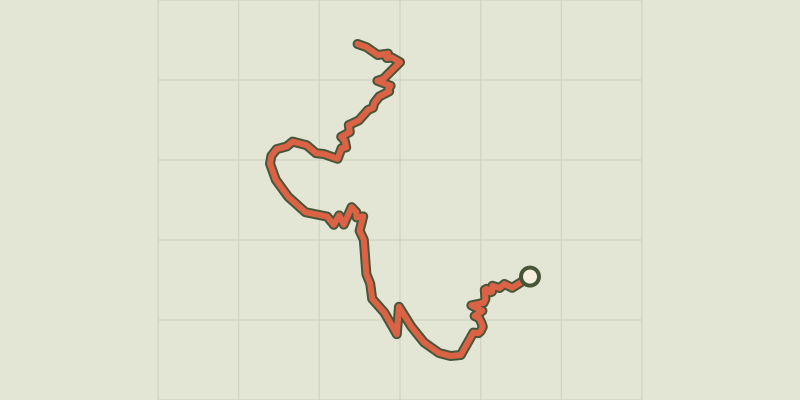 © OpenStreetMap, SRTM · OpenTopoMap (CC-BY-SA)
The climb at Dormillouse
Écrins, Freissinières (05) · Out and backOfficial rating by Parc national des Écrins © OpenStreetMap, SRTM · OpenTopoMap (CC-BY-SA)
Le lac du Fangeas
Écrins, Freissinières (05) · Out and backOfficial rating by Parc national des Écrins © OpenStreetMap, SRTM · OpenTopoMap (CC-BY-SA)
Le col de Freissinières
Écrins, Freissinières (05) · Out and backOfficial rating by Parc national des Écrins © OpenStreetMap, SRTM · OpenTopoMap (CC-BY-SA)
Le Col des Terres Blanches from Dormillouse
Écrins, Freissinières (05) · Out and backOfficial rating by Parc national des Écrins © OpenStreetMap, SRTM · OpenTopoMap (CC-BY-SA)
The Grande Cabane
Écrins, L'Argentière-la-Bessée (05) · Out and backOfficial rating by Parc national des Écrins