
Le Col des Terres Blanches from Dormillouse

Key facts
- Distance
- 16.5 km
- Ascent
- +1,271 m
- Descent
- −1,259 m
- Estimated time
- 7 hr 15
- hiking
- Difficulty
- Difficult
- official rating
- Route
- Out and back
- same way back
Profile and gradient
- under 10%
- 10 to 20%
- over 20%
Gradient along the route: 3.3 km under 10%, 8.2 km at 10 to 20% and 4.9 km over 20%. Elevation from 1,458 m to 2,721 m over 16.5 km.
Description
A long trail up to the high plateaux of Col des Terres Blanches, a gypsum bubble placed on a mountain crest - an untamed Nordic atmosphere guaranteed! ”Once we finally got to the plateau overlooking Lac du Fangeas and the Faravel pastures, at the foot of the Rochelaire, a huge bird soared up out of the blue. No doubt about it - with its diamond-shaped tail, it is a bearded vulture passing through the region!" Blandine Delenatte and Jean-Philippe Telmon, regional park keepers Park at Les Cascades car park, at the end of the road and at the end of the Freissinières valley. Take the path on the left, where the entrance to the National Park is, and three information panels (you will pass a footbridge on the right that leads to the winter trail). Cross the bridge over the Oules torrent and continue along the looping path alongside a large waterfall, then cross an area of scree. This “summer” trail is in an avalanche zone and is not visited in winter. The trail is wide and the climb is gentle, and the inhabitants of Dormillouse use it to fetch food using tracked barrows. - At the next crossroads, turn left into the path towards "Lac du Fangeas, Col des Terres Blanches" and continue the only trail along the Oules torrent as far as Lake Fangeas. - Walk around the lake and turn left to take the footbridge upstream from the lake. From there, the Col des Terres Blanches path is marked by cairns and white markings. In places, before the ewes have passed through it, the route may be hard to see in the tall grasses: follow the cairns and zigzag your way through a series of rocky bars to reach the first plateau. Continue following the cairns across the plateau and the torrent, then follow the well-marked path up to the col. - The way back is along the same route or via Prapic, then Col de Freissinières over 2 days.
Difficulty
Official rating: difficult, by Parc national des Écrins.
Before you go
- Camping is forbidden in the Cascades car park, bivouacking authorised over an hour’s walk from the park limits. Fire is also forbidden inside the park limits.
Getting there
Start: Parking des Cascades, Freissinières, Freissinières (05).
Sources
- Track: Parc national des Écrins, Licence Ouverte 2.0, Licence Ouverte 2.0 (Etalab) (destination.ecrins-parcnational.fr/trek/926386-Le-col-des-Terres-Blanches-depuis-Dormillouse). Time estimated by GPX Path with the Mac app rule, breaks not included.
- Official elevation gain: 1,271 m, Parc national des Écrins
Nearby tracks

 © OpenStreetMap, SRTM · OpenTopoMap (CC-BY-SA)
Le col de Freissinières
Écrins, Freissinières (05) · Out and backOfficial rating by Parc national des Écrins © OpenStreetMap, SRTM · OpenTopoMap (CC-BY-SA)
The Dormillouse circuit
Écrins, Freissinières (05) · LoopOfficial rating by Parc national des Écrins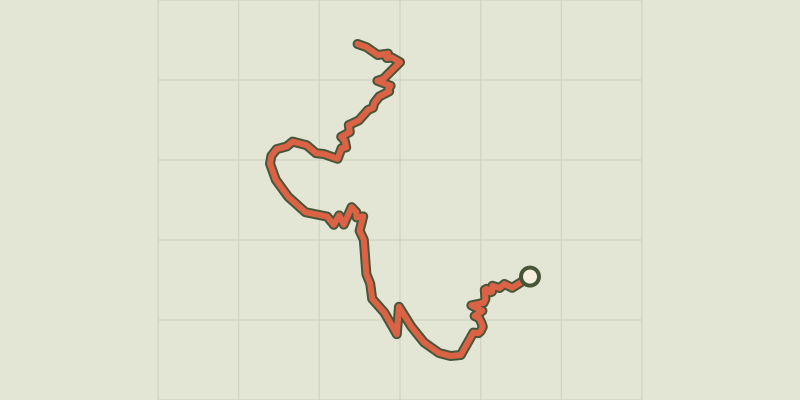 © OpenStreetMap, SRTM · OpenTopoMap (CC-BY-SA)
The climb at Dormillouse
Écrins, Freissinières (05) · Out and backOfficial rating by Parc national des Écrins © OpenStreetMap, SRTM · OpenTopoMap (CC-BY-SA)
Lakes tour
Écrins, Freissinières (05) · LoopOfficial rating by Parc national des Écrins © OpenStreetMap, SRTM · OpenTopoMap (CC-BY-SA)
Le lac du Fangeas
Écrins, Freissinières (05) · Out and backOfficial rating by Parc national des Écrins © OpenStreetMap, SRTM · OpenTopoMap (CC-BY-SA)
The Grande Cabane
Écrins, L'Argentière-la-Bessée (05) · Out and backOfficial rating by Parc national des Écrins