
Le lac du Fangeas

Key facts
- Distance
- 6.4 km
- Ascent
- +536 m
- Descent
- −534 m
- Estimated time
- 3 hr
- hiking
- Difficulty
- Moderate
- official rating
- Route
- Out and back
- same way back
Profile and gradient
- under 10%
- 10 to 20%
- over 20%
Gradient along the route: 1.0 km under 10%, 3.9 km at 10 to 20% and 1.6 km over 20%. Elevation from 1,442 m to 1,977 m over 6.4 km.
Description
A cool and bucolic hike towards the Fangeas lake, a blue jewel in a haven of green. "One fine sunny day towards the footbridge that crosses the stream, upstream from the lake, two ducks flew just above our heads. This pair of mallards landed on the Fangeas lake. Barely ruffled by the walkers, it was busy rummaging in the silt, with its rump in the air. " Blandine Delenatte and Jean-Philippe Telmon, wardens Park at the Cascades car park, at the end of the road to the bottom of the Fressinières valley. Take the path to the left, where you will find the entrance to the National Park, indicated by three explanatory panels (Leave the bridge that leads to the winter trail to the right). Cross the footbridge over the Oules stream and follow bends in the path along a large waterfall before crossing a zone of scree. As this 'summer' trail crosses an avalanche zone, it is not used in the winter. It has a gentle slope and is wide, enabling the inhabitants of Dormillouse to restock with the help of tracked wheelbarrows. - At the following crossing, take the footpath to the left "lac du Fangeas, col des Terres Blanches" and follow the trail along the Oules stream that leads to the Fangeas lake. - The return trip will be by the same path.
Difficulty
Official rating: moderate, by Parc national des Écrins.
Before you go
- No camping in the Cascades Car Park, bivouac permitted at least an hour's walk away from the park boundaries. No camp fires in the heart of the Park.
Getting there
Start: Parking des cascades, Freissinières, Freissinières (05).
Sources
- Track: Parc national des Écrins, Licence Ouverte 2.0, Licence Ouverte 2.0 (Etalab) (destination.ecrins-parcnational.fr/trek/903305-Le-lac-du-Fangeas). Time estimated by GPX Path with the Mac app rule, breaks not included.
- Official elevation gain: 536 m, Parc national des Écrins
Nearby tracks

 © OpenStreetMap, SRTM · OpenTopoMap (CC-BY-SA)
The Dormillouse circuit
Écrins, Freissinières (05) · LoopOfficial rating by Parc national des Écrins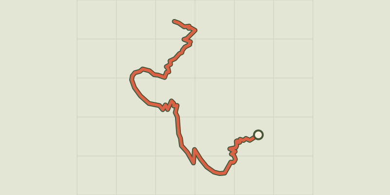 © OpenStreetMap, SRTM · OpenTopoMap (CC-BY-SA)
The climb at Dormillouse
Écrins, Freissinières (05) · Out and backOfficial rating by Parc national des Écrins © OpenStreetMap, SRTM · OpenTopoMap (CC-BY-SA)
Lakes tour
Écrins, Freissinières (05) · LoopOfficial rating by Parc national des Écrins © OpenStreetMap, SRTM · OpenTopoMap (CC-BY-SA)
Le col de Freissinières
Écrins, Freissinières (05) · Out and backOfficial rating by Parc national des Écrins © OpenStreetMap, SRTM · OpenTopoMap (CC-BY-SA)
Le Col des Terres Blanches from Dormillouse
Écrins, Freissinières (05) · Out and backOfficial rating by Parc national des Écrins © OpenStreetMap, SRTM · OpenTopoMap (CC-BY-SA)
The Grande Cabane
Écrins, L'Argentière-la-Bessée (05) · Out and backOfficial rating by Parc national des Écrins