
The Dormillouse circuit

Key facts
- Distance
- 5.0 km
- Ascent
- +350 m
- Descent
- −341 m
- Estimated time
- 2 hr
- hiking
- Difficulty
- Easy
- official rating
- Route
- Loop
- back to the start
Profile and gradient
- under 10%
- 10 to 20%
- over 20%
Gradient along the route: 1.5 km under 10%, 2.2 km at 10 to 20% and 1.2 km over 20%. Elevation from 1,442 m to 1,780 m over 5.0 km.
Description
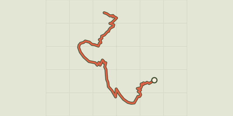
Off to the only inhabited village in the Ecrins National Park. This circuit takes a closer look at the heights of Dormillouse via the meadowland. You can see how the village was adapted to the slope by the inhabitants. They knew they needed to build a narrow strip that was sheltered from avalanches. Over time, they developed architectural skills that have endured over time. Park at Les Cascades car park, at the end of the road and at the end of the Freissinières valley. Take the path on the left, where the entrance to the National Park is, and three information panels (you will pass a footbridge on the right that leads to the winter trail). Follow the "Dormillouse” route. Walk across the bridge over the Oules torrent and continue along the looping path alongside a large waterfall, then cross an area of scree. - At the next crossroads, don’t take the path to the left (Lac du Fangeas, Col des Terres Blanches), but keep to the right, to the path leading to the meadow area, then turn left, following the signs to Lac Faravel, Lac Palluel and Col de Freissinières. - At the next crossroads, turn right into the path towards an old stone bridge leading to the hamlet of Les Romans, above the village of Dormillouse. - Go down into the village along the main path, past the school and the fountain, and you arrive at Les Enflous, then the windmill, before crossing the bridge and arriving at the path on the left that takes you back to the car park.
Difficulty
Official rating: easy, by Parc national des Écrins.
Before you go
- The path leading to Dormillouse is only open in summer. Please note: camping is forbidden, including near the car park.
Getting there
Start: Les cascades, Dormillouse, Freissinières, Freissinières (05).
Sources
- Track: Parc national des Écrins, Licence Ouverte 2.0, Licence Ouverte 2.0 (Etalab) (destination.ecrins-parcnational.fr/trek/903303-La-boucle-de-Dormillouse). Time estimated by GPX Path with the Mac app rule, breaks not included.
- Official elevation gain: 350 m, Parc national des Écrins
Nearby tracks
 © OpenStreetMap, SRTM · OpenTopoMap (CC-BY-SA)
The climb at Dormillouse
Écrins, Freissinières (05) · Out and backOfficial rating by Parc national des Écrins © OpenStreetMap, SRTM · OpenTopoMap (CC-BY-SA)
Lakes tour
Écrins, Freissinières (05) · LoopOfficial rating by Parc national des Écrins © OpenStreetMap, SRTM · OpenTopoMap (CC-BY-SA)
Le lac du Fangeas
Écrins, Freissinières (05) · Out and backOfficial rating by Parc national des Écrins © OpenStreetMap, SRTM · OpenTopoMap (CC-BY-SA)
Le col de Freissinières
Écrins, Freissinières (05) · Out and backOfficial rating by Parc national des Écrins © OpenStreetMap, SRTM · OpenTopoMap (CC-BY-SA)
Le Col des Terres Blanches from Dormillouse
Écrins, Freissinières (05) · Out and backOfficial rating by Parc national des Écrins © OpenStreetMap, SRTM · OpenTopoMap (CC-BY-SA)
The Grande Cabane
Écrins, L'Argentière-la-Bessée (05) · Out and backOfficial rating by Parc national des Écrins