
The Chargès source

Key facts
- Distance
- 13.3 km
- Ascent
- +765 m
- Descent
- −705 m
- Estimated time
- 4 hr 30
- hiking
- Difficulty
- Moderate
- official rating
- Route
- Out and back
- same way back
Profile and gradient
- under 10%
- 10 to 20%
- over 20%
Gradient along the route: 7.3 km under 10%, 4.6 km at 10 to 20% and 1.3 km over 20%. Elevation from 1,472 m to 2,166 m over 13.3 km.
Description
This trail follows the torrent and is an opportunity to see how the water makes its way to the Chargès mountain pastures. The first encounter with the Chargès torrent is quite strange: a "giant’s cauldron" has been dug out of the hard rock, forming a reservoir that seems to be bubbling. Later, along the torrent, calm gradually returns until the arrival at the source in the hollow of the corrie. From Les Gourniers car park, cross the village and follow the path to the Saint-Marcellin Chapel. - The path then makes its way around the mountainside to a footbridge (Pont la Claie), then goes up to the Pré d’Antoni cabin. - Continue as far as a torrent (footbridge). - Go up a grassy slope to get to a flatter section and the Chargès source.
Difficulty
Official rating: moderate, by Parc national des Écrins.
Before you go
- Between Chapelle-Saint-Marcellin and the Claie bridge, there is a danger of falling stones, especially during strong rainfall. The route is not recommended in this case.
Getting there
Start: Les Gourniers, Réallon, Réallon (05).
Sources
- Track: Parc national des Écrins, Licence Ouverte 2.0, Licence Ouverte 2.0 (Etalab) (destination.ecrins-parcnational.fr/trek/904168-Source-de-Charges). Time estimated by GPX Path with the Mac app rule, breaks not included.
- Official elevation gain: 765 m, Parc national des Écrins
Nearby tracks
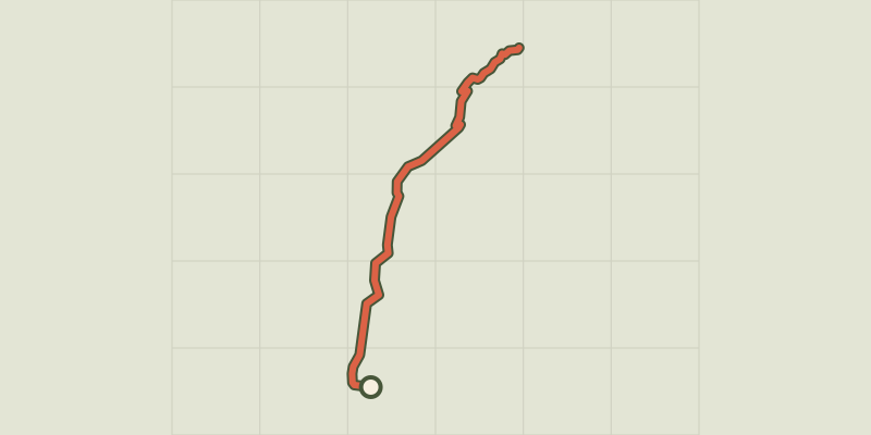
 © OpenStreetMap, SRTM · OpenTopoMap (CC-BY-SA)
The chapel at Saint-Marcellin
Écrins, Réallon (05) · Out and backOfficial rating by Parc national des Écrins © OpenStreetMap, SRTM · OpenTopoMap (CC-BY-SA)
Chargès Valley
Écrins, Réallon (05) · Out and backOfficial rating by Parc national des Écrins © OpenStreetMap, SRTM · OpenTopoMap (CC-BY-SA)
Oussella loop
Écrins, Réallon (05) · LoopOfficial rating by Parc national des Écrins © OpenStreetMap, SRTM · OpenTopoMap (CC-BY-SA)
Le Pré d'Antoni cabin
Écrins, Réallon (05) · Out and backOfficial rating by Parc national des Écrins © OpenStreetMap, SRTM · OpenTopoMap (CC-BY-SA)
Les Gourniers discovery path
Écrins, Réallon (05) · LoopOfficial rating by Parc national des Écrins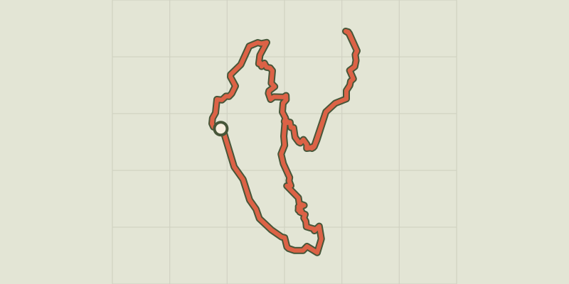 © OpenStreetMap, SRTM · OpenTopoMap (CC-BY-SA)
Balcon de l'Oussella and Quille du Laus
Écrins, Réallon (05) · LoopOfficial rating by Parc national des Écrins