
The chapel at Saint-Marcellin

Key facts
- Distance
- 4.5 km
- Ascent
- +274 m
- Descent
- −249 m
- Estimated time
- 1 hr 35
- hiking
- Difficulty
- Very easy
- official rating
- Route
- Out and back
- same way back
Profile and gradient
- under 10%
- 10 to 20%
- over 20%
Gradient along the route: 2.0 km under 10%, 1.8 km at 10 to 20% and 0.7 km over 20%. Elevation from 1,472 m to 1,727 m over 4.5 km.
Description
A family walk, with many flowers at the end of Spring, which weaves along the edge of the slope to the chapel which is named after the first Bishop Embrun. Les Gourniers, is a characteristic mountain hamlet, that marks the entrance to Chargès valley and to the Ecrins National Park. Next, a succession of cascades adds to the enchanting atmosphere of the path as well as the verdant flora of the valley. Chabrières peak reminds us of the reality of the mountains. From the carpark at Gourniers, cross the hamlet to go up the valley along the torrent at Chargès. Follow the path until Saint-Marcellin chapel. Go back following the same itinerary.
Difficulty
Official rating: very easy, by Parc national des Écrins.
Getting there
Start: Les Gourniers, Réallon, Réallon (05).
Sources
- Track: Parc national des Écrins, Licence Ouverte 2.0, Licence Ouverte 2.0 (Etalab) (destination.ecrins-parcnational.fr/trek/904076-Chapelle-Saint-Marcellin). Time estimated by GPX Path with the Mac app rule, breaks not included.
- Official elevation gain: 274 m, Parc national des Écrins
Nearby tracks

 © OpenStreetMap, SRTM · OpenTopoMap (CC-BY-SA)
Chargès Valley
Écrins, Réallon (05) · Out and backOfficial rating by Parc national des Écrins © OpenStreetMap, SRTM · OpenTopoMap (CC-BY-SA)
The Chargès source
Écrins, Réallon (05) · Out and backOfficial rating by Parc national des Écrins © OpenStreetMap, SRTM · OpenTopoMap (CC-BY-SA)
Oussella loop
Écrins, Réallon (05) · LoopOfficial rating by Parc national des Écrins © OpenStreetMap, SRTM · OpenTopoMap (CC-BY-SA)
Le Pré d'Antoni cabin
Écrins, Réallon (05) · Out and backOfficial rating by Parc national des Écrins © OpenStreetMap, SRTM · OpenTopoMap (CC-BY-SA)
Les Gourniers discovery path
Écrins, Réallon (05) · LoopOfficial rating by Parc national des Écrins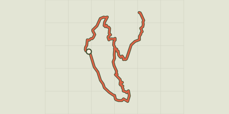 © OpenStreetMap, SRTM · OpenTopoMap (CC-BY-SA)
Balcon de l'Oussella and Quille du Laus
Écrins, Réallon (05) · LoopOfficial rating by Parc national des Écrins