
Le col de la Coupa

Key facts
- Distance
- 9.8 km
- Ascent
- +830 m
- Descent
- −814 m
- Estimated time
- 4 hr 35
- hiking
- Difficulty
- Moderate
- official rating
- Route
- Out and back
- same way back
Profile and gradient
- under 10%
- 10 to 20%
- over 20%
Gradient along the route: 2.0 km under 10%, 5.7 km at 10 to 20% and 2.2 km over 20%. Elevation from 1,473 m to 2,295 m over 9.8 km.
Description
This valley, which is a mountain pasture for a flock of sheep, leads to La Coupa mountain pass which is the passage between the Réallon valley and the Rouance valley that links up to Ancelle in the Champsaur area. "The presence of griffon vultures makes this hike interesting during the summer. In the morning, around 9 o'clock, they leave the cliff to the right of the pass, gain altitude and separate. Throughout the day, they glide over the surrounding summits and ridges. The end of the day is a good time to watch them as they return to the 'dormitory'. The best idea is to plan a picnic for the evening and descend before nightfall. Mireille Coulon, warden in the Embrunais area From Les Gourniers car park, cross the bridge over the Réallon and take the paved road on the left. Follow this road for 1 km to the end of the tarmac at "Les Tomelles". Take the track to the right. At the next fork in the road, go right on the footpath that heads into the larch forest then reaches the Gorge stream. Cross it 3 times over roughly 500 m to reach the meadows of the south facing slope on the left bank. When you arrive at the terrace, go up the slope to the right. Go past the shepherd's hut. From there, the footpath is not clearly defined but the pass to the north-west certainly is. Head towards it by following the slope that straightens out regularly until you reach the meandering footpath that leads to the pass. The return trip is made by the same route.
Difficulty
Official rating: moderate, by Parc national des Écrins.
Before you go
- The valley is a pasture where there are grazing sheep. Keep dogs on a lead, stay a good distance from the flock and near to the hut, respect the peace and quiet of the shepherd. Do not forget your binoculars to observe the vultures.
Getting there
Start: Les Gourniers, Réallon, Réallon (05).
Sources
- Track: Parc national des Écrins, Licence Ouverte 2.0, Licence Ouverte 2.0 (Etalab) (destination.ecrins-parcnational.fr/trek/919184-Col-de-la-Coupa). Time estimated by GPX Path with the Mac app rule, breaks not included.
- Official elevation gain: 830 m, Parc national des Écrins
Nearby tracks

 © OpenStreetMap, SRTM · OpenTopoMap (CC-BY-SA)
Les Gourniers discovery path
Écrins, Réallon (05) · LoopOfficial rating by Parc national des Écrins © OpenStreetMap, SRTM · OpenTopoMap (CC-BY-SA)
The Pissarotte waterfall
Écrins, Réallon (05) · LoopOfficial rating by Parc national des Écrins © OpenStreetMap, SRTM · OpenTopoMap (CC-BY-SA)
Oussella loop
Écrins, Réallon (05) · LoopOfficial rating by Parc national des Écrins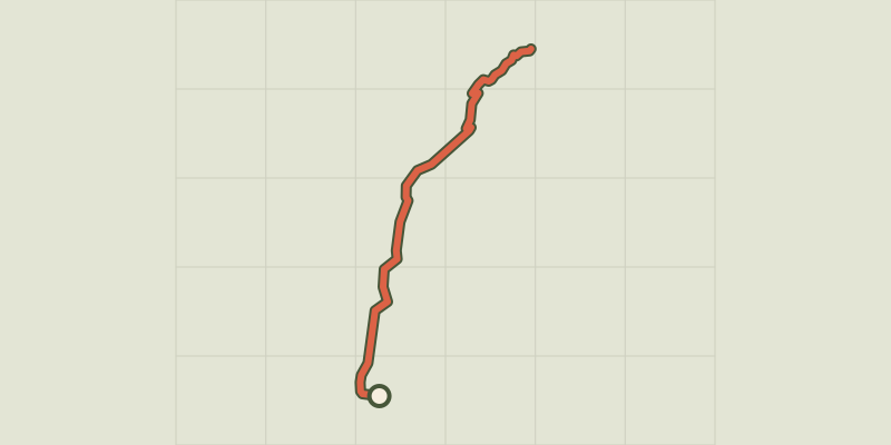 © OpenStreetMap, SRTM · OpenTopoMap (CC-BY-SA)
The chapel at Saint-Marcellin
Écrins, Réallon (05) · Out and backOfficial rating by Parc national des Écrins © OpenStreetMap, SRTM · OpenTopoMap (CC-BY-SA)
Chargès Valley
Écrins, Réallon (05) · Out and backOfficial rating by Parc national des Écrins © OpenStreetMap, SRTM · OpenTopoMap (CC-BY-SA)
The Chargès source
Écrins, Réallon (05) · Out and backOfficial rating by Parc national des Écrins