
The Pétarel Lakes via Les Portes

Key facts
- Distance
- 11.9 km
- Ascent
- +906 m
- Descent
- −846 m
- Estimated time
- 4 hr 55
- hiking
- Difficulty
- Difficult
- official rating
- Route
- Out and back
- same way back
Profile and gradient
- under 10%
- 10 to 20%
- over 20%
Gradient along the route: 4.2 km under 10%, 5.4 km at 10 to 20% and 2.4 km over 20%. Elevation from 1,268 m to 2,107 m over 11.9 km.
Description
This ascent leads through a cool, discreet forest atmosphere to an open landscape, exposed to the heat of the sun. Making your way through the forest, a shadow passes a few yards away. I stand still and watch this unknown figure, which is looking at me with surprise and seems to be saying: “what kind of creature are you? - you're not a chamois." In the village of Les Portes, turn right onto the path signposted "Lacs de Pétarel". Follow this rising path, and soon after, at a crossroads, turn left following the arrow shown on the panel. You cross a forest clearing and a scree, then arrive at and cross the Pétarel torrent. Then make your way through the forest, where the path meets another path leading to the village of Les Andrieux. Follow the signpost at this crossroads to "Lacs de Pétarel". Continue through the forest as far as a slope of low-lying vegetation, following it up through the winding turns. The path crosses the torrent. Go carefully in the last rocky sections. A large cairn signals your arrival at the lakes. Come back the same way.
Difficulty
Official rating: difficult, by Parc national des Écrins.
Before you go
- Crossing the torrent may prove dangerous when the current is strong (you cross the ford).
- Please note that only bivouacking is authorised (from 7 p.m. to 9 a.m.) and waste must be taken away to preserve the site.
Getting there
Start: Les Portes, La-Chapelle-en-Valgaudemar, La Chapelle-en-Valgaudémar (05).
Sources
- Track: Parc national des Écrins, Licence Ouverte 2.0, Licence Ouverte 2.0 (Etalab) (destination.ecrins-parcnational.fr/trek/905587-Les-lacs-de-Petarel-par-les-Portes). Time estimated by GPX Path with the Mac app rule, breaks not included.
- Official elevation gain: 906 m, Parc national des Écrins
Nearby tracks
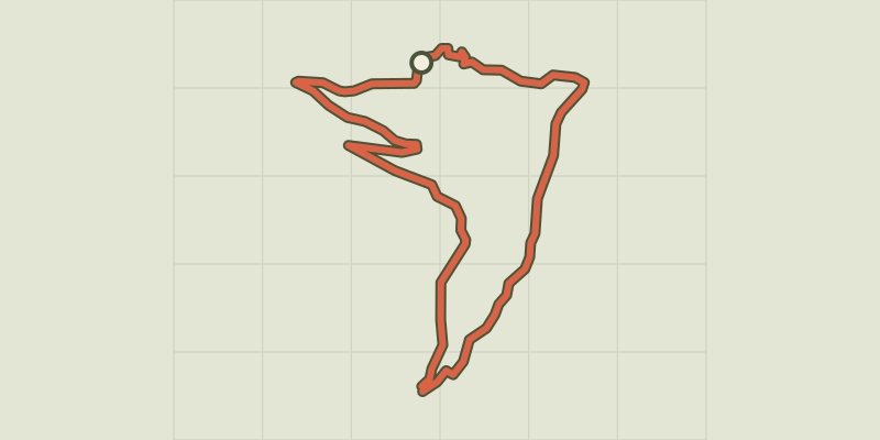
 © OpenStreetMap, SRTM · OpenTopoMap (CC-BY-SA)
Les Oulles du Diable
Écrins, La Chapelle-en-Valgaudémar (05) · LoopOfficial rating by Parc national des Écrins © OpenStreetMap, SRTM · OpenTopoMap (CC-BY-SA)
The Pas de l'Olan
Écrins, La Chapelle-en-Valgaudémar (05) · LoopOfficial rating by Parc national des Écrins © OpenStreetMap, SRTM · OpenTopoMap (CC-BY-SA)
Navette Valley
Écrins, La Chapelle-en-Valgaudémar (05) · LoopOfficial rating by Parc national des Écrins © OpenStreetMap, SRTM · OpenTopoMap (CC-BY-SA)
Pétarel Lakes by the Andrieux
Écrins, La Chapelle-en-Valgaudémar (05) · Out and backOfficial rating by Parc national des Écrins © OpenStreetMap, SRTM · OpenTopoMap (CC-BY-SA)
From Villar-Loubière to La-Chapelle-en-Valgaudemar
Écrins, Villar-Loubière (05) · Point to pointOfficial rating by Parc national des Écrins © OpenStreetMap, SRTM · OpenTopoMap (CC-BY-SA)
Valgaudemar refuges
Écrins, Villar-Loubière (05) · Point to pointOfficial rating by Parc national des Écrins