
Navette Valley
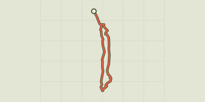
Key facts
- Distance
- 4.4 km
- Ascent
- +109 m
- Descent
- −105 m
- Estimated time
- 1 hr 10
- hiking
- Difficulty
- Very easy
- official rating
- Route
- Loop
- back to the start
Profile and gradient
- under 10%
- 10 to 20%
- over 20%
Gradient along the route: 4.0 km under 10% and 0.4 km at 10 to 20%. Elevation from 1,297 m to 1,402 m over 4.4 km.
Description
A lovely family walk to discover the history Navette hamlet and the Buchardet waterfall. On a hot summer’s day, on a shaded path, the ruins of the Navette hamlet, its restored chapel, ancient farmed terraces newly reforested and the « via clause » elevated path are there to evoke the charm of another time. At the Fouronnière car park, cross the stone bridge, then a second wooden one at the end of a short climb, to get to the ruins of Navette village. Cross Navette and continue on the path through the forest of Larch then Spruce, to rapidly reach the Buissard prairie. At its end, Buchardet waterfall reveals itself on the left. A small steep track enables you to better approach it. Cross the torrent on the wooden bridge and follow on in to the Larch forest taking a stone-walled path (via clause) before redescending to cross the Navette torrent and pass to the other side of the valley. At the crossroads, take a right to return to the Fouronnière car park by an elevated path overlooking the Navette torrent.
Difficulty
Official rating: very easy, by Parc national des Écrins.
Getting there
Start: Fouronnière, La Chapelle-en-Valgaudémar (05).
Sources
- Track: Parc national des Écrins, Licence Ouverte 2.0, Licence Ouverte 2.0 (Etalab) (destination.ecrins-parcnational.fr/trek/903498-Le-vallon-de-Navette). Time estimated by GPX Path with the Mac app rule, breaks not included.
- Official elevation gain: 109 m, Parc national des Écrins
Nearby tracks

 © OpenStreetMap, SRTM · OpenTopoMap (CC-BY-SA)
The Pétarel Lakes via Les Portes
Écrins, La Chapelle-en-Valgaudémar (05) · Out and backOfficial rating by Parc national des Écrins © OpenStreetMap, SRTM · OpenTopoMap (CC-BY-SA)
Les Oulles du Diable
Écrins, La Chapelle-en-Valgaudémar (05) · LoopOfficial rating by Parc national des Écrins © OpenStreetMap, SRTM · OpenTopoMap (CC-BY-SA)
The Pas de l'Olan
Écrins, La Chapelle-en-Valgaudémar (05) · LoopOfficial rating by Parc national des Écrins © OpenStreetMap, SRTM · OpenTopoMap (CC-BY-SA)
Pétarel Lakes by the Andrieux
Écrins, La Chapelle-en-Valgaudémar (05) · Out and backOfficial rating by Parc national des Écrins © OpenStreetMap, SRTM · OpenTopoMap (CC-BY-SA)
From Villar-Loubière to La-Chapelle-en-Valgaudemar
Écrins, Villar-Loubière (05) · Point to pointOfficial rating by Parc national des Écrins © OpenStreetMap, SRTM · OpenTopoMap (CC-BY-SA)
Valgaudemar refuges
Écrins, Villar-Loubière (05) · Point to pointOfficial rating by Parc national des Écrins