
Road cycling GPX tracks in Écrins
22 GPX tracks in Écrins, with distance, elevation gain and time for each track. Filter by sport, distance, elevation gain and time.
Regions
Pick a region on the map or below. Grey regions have no tracks yet.
All GPX tracks in Écrins
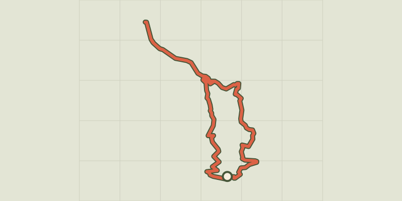
 © OpenStreetMap, SRTM · OpenTopoMap (CC-BY-SA)
At the gateway to the Ecrins
Écrins, Savines-le-Lac (05) · LoopOfficial rating by Parc national des Écrins © OpenStreetMap, SRTM · OpenTopoMap (CC-BY-SA)
Col de Pontis depuis Savines-le-Lac
Écrins, Savines-le-Lac (05) · Point to pointOfficial rating by Parc national des Écrins © OpenStreetMap, SRTM · OpenTopoMap (CC-BY-SA)
From one bank of the Durance to the other
Écrins, Embrun (05) · LoopOfficial rating by Parc national des Écrins © OpenStreetMap, SRTM · OpenTopoMap (CC-BY-SA)
De La Grave au Col de l'Échelle
Écrins, La Grave (05) · Out and backOfficial rating by Parc national des Écrins © OpenStreetMap, SRTM · OpenTopoMap (CC-BY-SA)
De La Grave au col de Sarenne par l'Alpe d'Huez
Écrins, La Grave (05) · LoopOfficial rating by Parc national des Écrins © OpenStreetMap, SRTM · OpenTopoMap (CC-BY-SA)
De La Grave au Col du Galibier
Écrins, La Grave (05) · Out and backOfficial rating by Parc national des Écrins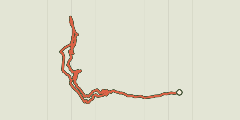 © OpenStreetMap, SRTM · OpenTopoMap (CC-BY-SA)
De La Grave au Lac du Verney par les balcons de l'Oisans en vélo de route
Écrins, La Grave (05) · LoopOfficial rating by Parc national des Écrins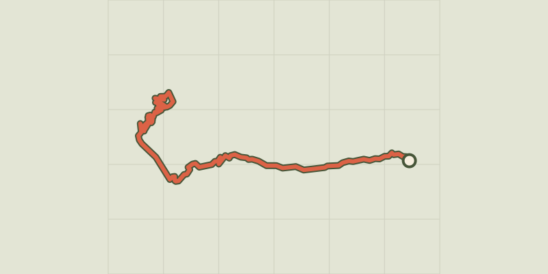 © OpenStreetMap, SRTM · OpenTopoMap (CC-BY-SA)
De Villar d'Arène à l'Alpe d'Huez
Écrins, Villar-d'Arêne (05) · LoopOfficial rating by Parc national des Écrins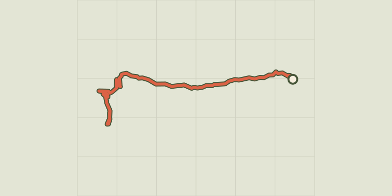 © OpenStreetMap, SRTM · OpenTopoMap (CC-BY-SA)
De Villar d'Arène aux Deux Alpes
Écrins, Villar-d'Arêne (05) · Out and backOfficial rating by Parc national des Écrins © OpenStreetMap, SRTM · OpenTopoMap (CC-BY-SA)
De Villard-Saint-Pancrace au col du Galibier
Écrins, Villar-Saint-Pancrace (05) · Out and backOfficial rating by Parc national des Écrins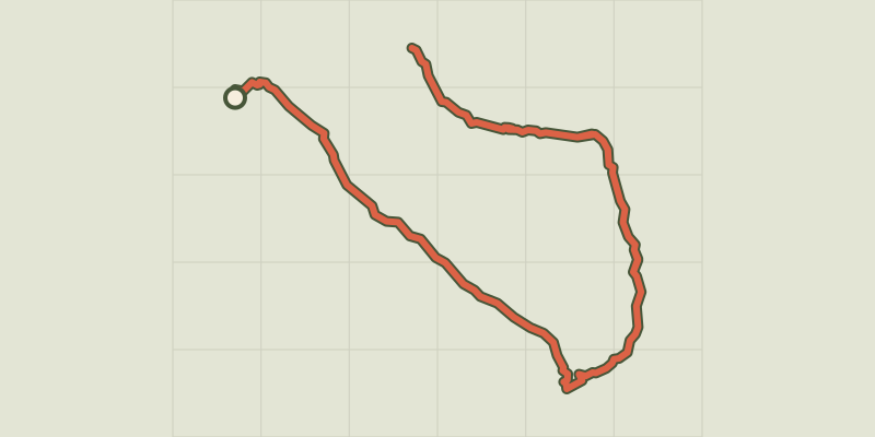 © OpenStreetMap, SRTM · OpenTopoMap (CC-BY-SA)
Du Col du Lautaret à la haute vallée de la Clarée
Écrins, Le Monêtier-les-Bains (05) · Out and backOfficial rating by Parc national des Écrins © OpenStreetMap, SRTM · OpenTopoMap (CC-BY-SA)
Du Col du Lautaret au Col de l'Izoard
Écrins, Le Monêtier-les-Bains (05) · Out and backOfficial rating by Parc national des Écrins © OpenStreetMap, SRTM · OpenTopoMap (CC-BY-SA)
L'argentière La Bessée - Les Roberts
Écrins, L'Argentière-la-Bessée (05) · Point to pointOfficial rating by Parc national des Écrins © OpenStreetMap, SRTM · OpenTopoMap (CC-BY-SA)
The Durance by bike
Écrins, Le Monêtier-les-Bains (05) · Point to pointOfficial rating by Parc national des Écrins © OpenStreetMap, SRTM · OpenTopoMap (CC-BY-SA)
Around Lake Serre-Ponçon
Écrins, Embrun (05) · LoopOfficial rating by Parc national des Écrins © OpenStreetMap, SRTM · OpenTopoMap (CC-BY-SA)
The balconies of Embrun
Écrins, Embrun (05) · LoopOfficial rating by Parc national des Écrins © OpenStreetMap, SRTM · OpenTopoMap (CC-BY-SA)
Les Trois Rivières
Écrins, Savines-le-Lac (05) · LoopOfficial rating by Parc national des Écrins © OpenStreetMap, SRTM · OpenTopoMap (CC-BY-SA)
Montée de la Draye
Écrins, Crots (05) · Point to pointOfficial rating by Parc national des Écrins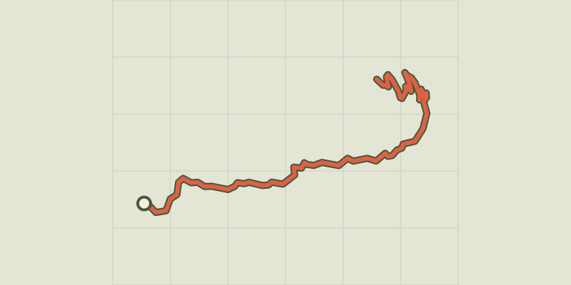 © OpenStreetMap, SRTM · OpenTopoMap (CC-BY-SA)
Montée de Réallon depuis Chorges
Écrins, Chorges (05) · Point to pointOfficial rating by Parc national des Écrins © OpenStreetMap, SRTM · OpenTopoMap (CC-BY-SA)
Montée de Réallon depuis Savines-le-Lac
Écrins, Savines-le-Lac (05) · Point to pointOfficial rating by Parc national des Écrins © OpenStreetMap, SRTM · OpenTopoMap (CC-BY-SA)
Right bank Serre-Ponçon
Écrins, Embrun (05) · LoopOfficial rating by Parc national des Écrins © OpenStreetMap, SRTM · OpenTopoMap (CC-BY-SA)
Séjour en étoile - 3 jours de vélo en Vallouise
Écrins, Vallouise-Pelvoux (05) · LoopOfficial rating by Parc national des Écrins