
Saint-Alban loop

Key facts
- Distance
- 9.0 km
- Ascent
- +257 m
- Descent
- −216 m
- Estimated time
- 2 hr 30
- hiking
- Difficulty
- Easy
- official rating
- Route
- Loop
- back to the start
Profile and gradient
- under 10%
- 10 to 20%
- over 20%
Gradient along the route: 7.5 km under 10% and 1.6 km at 10 to 20%. Elevation from 1,075 m to 1,272 m over 9.0 km.
Description
This is an accessible hike with unobstructed views over the Durance valley. Exposed passages make this a hike not recommended for children. After the old "postman's path" overlooking the Durance as the valley narrows, a shady wooded section leads back to a panoramic viewpoint over the Durance valley, which widens out over the Embrunais. This long parade lends itself particularly well to reading the landscape and some great photos opportunities. Go up the track and turn right towards St Alban along the postman's path . - On reaching the hamlet of St Alban, stay on the grassy path that runs behind the gîte towards the Couleau stream. Turn left when you reach the wide track. - At the next intersection, you can take a round trip to the stream: to do this, follow the Couleau stream. Otherwise, turn left towards the Serre cross. Follow the path along the canal through the forest and then across the meadows. - At the sign for the serre de l'Aigle cross, turn left towards la Béguê and then straight on at the next intersection. Descend the road, then turn left along the wide track to the car park.
Difficulty
Official rating: easy, by Parc national des Écrins.
Getting there
Start: Les Chamousses, Châteauroux les Alpes, Châteauroux-les-Alpes (05).
Sources
- Track: Parc national des Écrins, Licence Ouverte 2.0, Licence Ouverte 2.0 (Etalab) (destination.ecrins-parcnational.fr/trek/993197-Boucle-de-Saint-Alban). Time estimated by GPX Path with the Mac app rule, breaks not included.
- Official elevation gain: 257 m, Parc national des Écrins
Nearby tracks

 © OpenStreetMap, SRTM · OpenTopoMap (CC-BY-SA)
Sentier des Vignes - Grapevine path
Écrins, Châteauroux-les-Alpes (05) · LoopOfficial rating by Parc national des Écrins © OpenStreetMap, SRTM · OpenTopoMap (CC-BY-SA)
The Roche Rousse belvedere
Écrins, Châteauroux-les-Alpes (05) · Out and backOfficial rating by Parc national des Écrins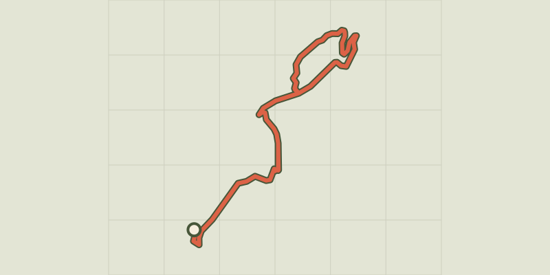 © OpenStreetMap, SRTM · OpenTopoMap (CC-BY-SA)
Chemin de la Durance
Écrins, Châteauroux-les-Alpes (05) · Out and backOfficial rating by Parc national des Écrins © OpenStreetMap, SRTM · OpenTopoMap (CC-BY-SA)
Cascade de la Pisse in Châteauroux-Les-Alpes
Écrins, Châteauroux-les-Alpes (05) · Out and backOfficial rating by Parc national des Écrins © OpenStreetMap, SRTM · OpenTopoMap (CC-BY-SA)
The Couleau valley
Écrins, Saint-Clément-sur-Durance (05) · LoopOfficial rating by Parc national des Écrins © OpenStreetMap, SRTM · OpenTopoMap (CC-BY-SA)
Lake Distroit
Écrins, Châteauroux-les-Alpes (05) · Out and backOfficial rating by Parc national des Écrins