
The Roche Rousse belvedere

Key facts
- Distance
- 3.4 km
- Ascent
- +205 m
- Descent
- −202 m
- Estimated time
- 1 hr 15
- hiking
- Difficulty
- Easy
- official rating
- Route
- Out and back
- same way back
Profile and gradient
- under 10%
- 10 to 20%
- over 20%
Gradient along the route: 1.5 km under 10%, 1.5 km at 10 to 20% and 0.4 km over 20%. Elevation from 1,128 m to 1,333 m over 3.4 km.
Description
This trail takes you to the top of the Roche Rousse crag with its vantage point over Châteauroux and the Rabioux valley. - Walk up the road for 300 metres and take the narrow path running uphill behind the first houses. - A short distance further up, join the road running through St-Etienne. Follow it for 150 metres and turn left onto the old mule track (signed "Sentier muletier"). - Just before you reach a small plateau bare of trees, take the path on the left (yellow signposting) and after two small bends you come to Roche Rousse. - You reach the belvedere after a gentle descent bringing you out of the trees. Follow the same route in reverse to return to the car park.
Difficulty
Official rating: easy, by Parc national des Écrins.
Before you go
- Be sure to supervise children closely to prevent them from getting too close to the cliff edge.
Getting there
Start: Parking du site d’escalade de Roche Rousse, Châteauroux-les-Alpes, Châteauroux-les-Alpes (05).
Sources
- Track: Parc national des Écrins, Licence Ouverte 2.0, Licence Ouverte 2.0 (Etalab) (destination.ecrins-parcnational.fr/trek/961743-Belvedere-Roche-Rousse). Time estimated by GPX Path with the Mac app rule, breaks not included.
- Official elevation gain: 205 m, Parc national des Écrins
Nearby tracks

 © OpenStreetMap, SRTM · OpenTopoMap (CC-BY-SA)
Sentier des Vignes - Grapevine path
Écrins, Châteauroux-les-Alpes (05) · LoopOfficial rating by Parc national des Écrins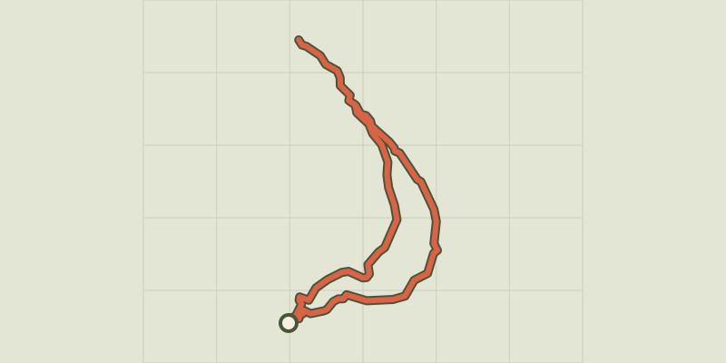 © OpenStreetMap, SRTM · OpenTopoMap (CC-BY-SA)
Saint-Alban loop
Écrins, Châteauroux-les-Alpes (05) · LoopOfficial rating by Parc national des Écrins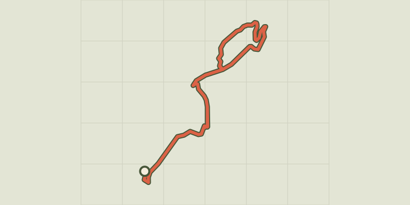 © OpenStreetMap, SRTM · OpenTopoMap (CC-BY-SA)
Chemin de la Durance
Écrins, Châteauroux-les-Alpes (05) · Out and backOfficial rating by Parc national des Écrins © OpenStreetMap, SRTM · OpenTopoMap (CC-BY-SA)
Cascade de la Pisse in Châteauroux-Les-Alpes
Écrins, Châteauroux-les-Alpes (05) · Out and backOfficial rating by Parc national des Écrins © OpenStreetMap, SRTM · OpenTopoMap (CC-BY-SA)
Lake Distroit
Écrins, Châteauroux-les-Alpes (05) · Out and backOfficial rating by Parc national des Écrins © OpenStreetMap, SRTM · OpenTopoMap (CC-BY-SA)
The Couleau valley
Écrins, Saint-Clément-sur-Durance (05) · LoopOfficial rating by Parc national des Écrins