
Sentier des Vignes - Grapevine path

Key facts
- Distance
- 4.2 km
- Ascent
- +145 m
- Descent
- −125 m
- Estimated time
- 1 hr 10
- hiking
- Difficulty
- Very easy
- official rating
- Route
- Loop
- back to the start
Profile and gradient
- under 10%
- 10 to 20%
- over 20%
Gradient along the route: 3.2 km under 10% and 0.9 km at 10 to 20%. Elevation from 953 m to 1,062 m over 4.2 km.
Description
An excursion amidst vineyards and cultivated terraces. This path leads through fields of grapevines - now rare in the Hautes-Alpes. Numerous agricultural terraces are evidence of past vine cultivation. They mark the landscape and bear testimony to the historical significance of vine growing. When you cross the Mathéron mountain stream, the backdrop changes to a pastoral landscape with a view over the Durance valley. Take the path running left off the road leading from Châteauroux, and head towards Trinquière. At the intersection, take the path leading straight ahead and follow the Champ Mathéron mountain stream. Go along the narrow path above the fields of grapevines. Step over the Champ Mathéron mountain stream; after the bend, stay on the left-hand track. - At the signpost, turn left towards Champ Mathéron and join the narrow earth path leading uphill. After a short ascent, go left towards Les Chamousses. Go into the field and follow the wall until you reach the other side of the parcel of land, then climb up along the field edge until you reach the road. - Turn left down the road towards Fonfourane. - A few metres after the crossroads, take the path on the right, following the GR route. - When you come to the road, turn left following signs for La Trinquière. Go straight ahead, past the water fountain. After the bend and before the recycling point, take the narrow path running downhill to the right. At the intersection, turn right and back onto the track leading back to the car park.
Difficulty
Official rating: very easy, by Parc national des Écrins.
Getting there
Start: St-Marcellin, Châteauroux-les-alpes, Châteauroux-les-Alpes (05).
Sources
- Track: Parc national des Écrins, Licence Ouverte 2.0, Licence Ouverte 2.0 (Etalab) (destination.ecrins-parcnational.fr/trek/973954-Sentier-des-Vignes). Time estimated by GPX Path with the Mac app rule, breaks not included.
- Official elevation gain: 145 m, Parc national des Écrins
Nearby tracks

 © OpenStreetMap, SRTM · OpenTopoMap (CC-BY-SA)
The Roche Rousse belvedere
Écrins, Châteauroux-les-Alpes (05) · Out and backOfficial rating by Parc national des Écrins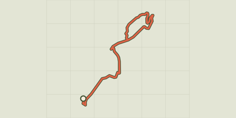 © OpenStreetMap, SRTM · OpenTopoMap (CC-BY-SA)
Chemin de la Durance
Écrins, Châteauroux-les-Alpes (05) · Out and backOfficial rating by Parc national des Écrins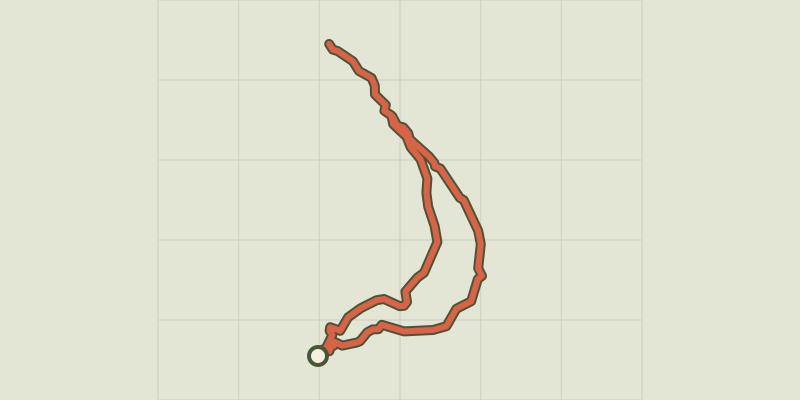 © OpenStreetMap, SRTM · OpenTopoMap (CC-BY-SA)
Saint-Alban loop
Écrins, Châteauroux-les-Alpes (05) · LoopOfficial rating by Parc national des Écrins © OpenStreetMap, SRTM · OpenTopoMap (CC-BY-SA)
Cascade de la Pisse in Châteauroux-Les-Alpes
Écrins, Châteauroux-les-Alpes (05) · Out and backOfficial rating by Parc national des Écrins © OpenStreetMap, SRTM · OpenTopoMap (CC-BY-SA)
Lake Distroit
Écrins, Châteauroux-les-Alpes (05) · Out and backOfficial rating by Parc national des Écrins © OpenStreetMap, SRTM · OpenTopoMap (CC-BY-SA)
The Couleau valley
Écrins, Saint-Clément-sur-Durance (05) · LoopOfficial rating by Parc national des Écrins