
GPX tracks in France (page 267)
7,023 GPX tracks in France, with distance, elevation gain and time for each track. Pick a region on the map, then filter by department, sport, distance, elevation gain and time.
All GPX tracks in France
Activity : All activities

 Plan IGN © IGN 2026 · track © OpenStreetMapSentier Retour du Ponte di MarionuCorsica, Zonza (2A) · Point to point
 Plan IGN © IGN 2026Sentier Saint GeorgesCentre-Val de Loire, Rochecorbon (37) · LoopOfficial rating by Tours Métropole Val de Loire
 Plan IGN © IGN 2026Sentier Sainte RadegondeCentre-Val de Loire, Tours (37) · Point to pointOfficial rating by Tours Métropole Val de Loire
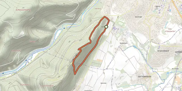 Plan IGN © IGN 2026 · track © OpenStreetMapSentier sylvicoleGrand Est, Saverne (67) · Loop
 Plan IGN © IGN 2026THEMED PATH: Industrial circuit walkÉcrins, L'Argentière-la-Bessée (05) · LoopOfficial rating by Parc national des Écrins
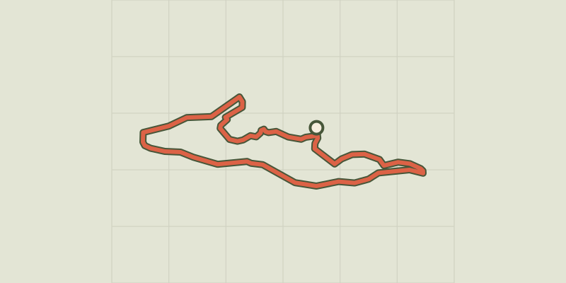 Plan IGN © IGN 2026THEMED PATH: Mr Alfred's woodÉcrins, Freissinières (05) · LoopOfficial rating by Parc national des Écrins
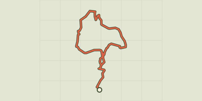 Plan IGN © IGN 2026THEMED PATH: The Serre-Duc CanalProvence-Alpes-Côte d'Azur, La Roche-de-Rame (05) · LoopOfficial rating by Parc national des Écrins
 Plan IGN © IGN 2026THEMED PATH: The Mountain Hut pathProvence-Alpes-Côte d'Azur, Saint-Martin-de-Queyrières (05) · LoopOfficial rating by Parc national des Écrins
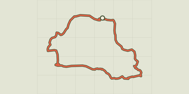 Plan IGN © IGN 2026THEMED PATH: The Le Cloutas pathÉcrins, Les Vigneaux (05) · LoopOfficial rating by Parc national des Écrins
 Plan IGN © IGN 2026THEMED PATH: The precipice pathÉcrins, Champcella (05) · LoopOfficial rating by Parc national des Écrins
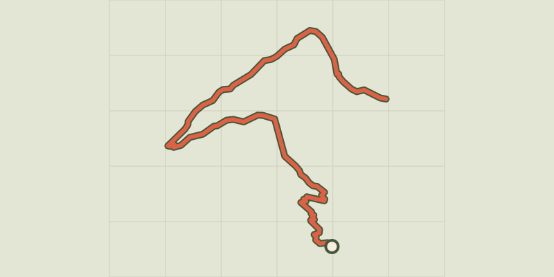 Plan IGN © IGN 2026THEMED PATH: The larch forest pathÉcrins, Puy-Saint-Vincent (05) · Point to pointOfficial rating by Parc national des Écrins
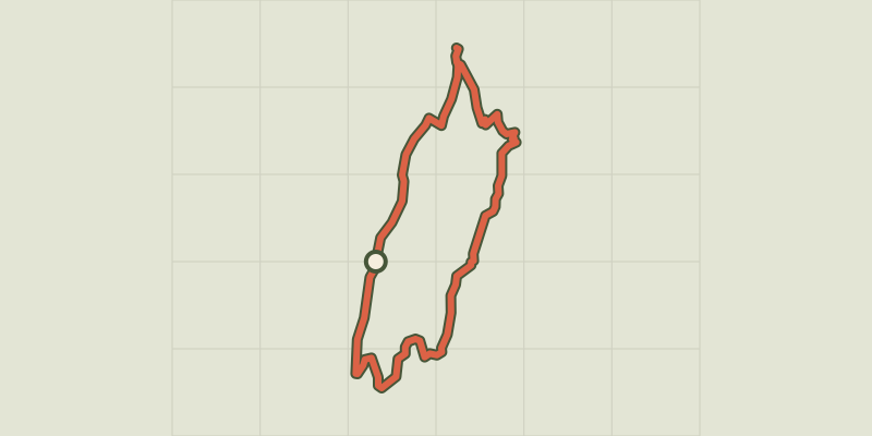 Plan IGN © IGN 2026THEMED PATH: In the shepherds' footstepsÉcrins, Vallouise-Pelvoux (05) · LoopOfficial rating by Parc national des Écrins
 Plan IGN © IGN 2026 · track © OpenStreetMapSentier Valaccia-PadulaCorsica, Prunelli-di-Fiumorbo (2B) · Point to point
 Plan IGN © IGN 2026 · track © OpenStreetMapSentier viticole du GottelstalVosges, Thann (68) · Loop
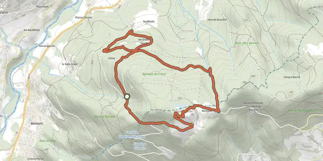 Plan IGN © IGN 2026 · track © OpenStreetMapSentier Xavier ThiriatVosges, Le Syndicat (88) · Loop
 Plan IGN © IGN 2026 · track © OpenStreetMapSentiers du Buchholzkopf et des RochesVosges, Lutzelbourg (57) · Loop
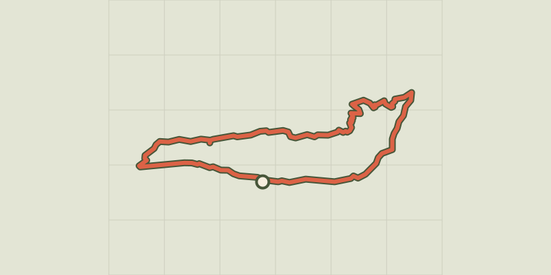 Plan IGN © IGN 2026Séranon - Crêtes du BaurouxProvence-Alpes-Côte d'Azur, Séranon (06) · LoopOfficial rating by Parcs naturels régionaux de Provence-Alpes-Côte d'Azur
 Plan IGN © IGN 2026Serre Bernard par la BercheÉcrins, La Grave (05) · LoopOfficial rating by Parc national des Écrins

 Plan IGN © IGN 2026Serre de Banette, trail #27Cévennes, Ventalon en Cévennes (48) · LoopOfficial rating by Parc national des Cévennes
 Plan IGN © IGN 2026Serre de Combe Calde et Vallée du Tarnon - Trail n°34Occitanie, Rousses (48) · LoopOfficial rating by Parc national des Cévennes
 Plan IGN © IGN 2026Serre de Pradal- Trail n°32Occitanie, Rousses (48) · LoopOfficial rating by Parc national des Cévennes
 Plan IGN © IGN 2026The Serre du Bois de la ville walkCévennes, Saint-Ambroix (30) · LoopOfficial rating by Parc national des Cévennes

 Plan IGN © IGN 2026Serre RenardProvence-Alpes-Côte d'Azur, Chorges (05) · LoopOfficial rating by Parc national des Écrins
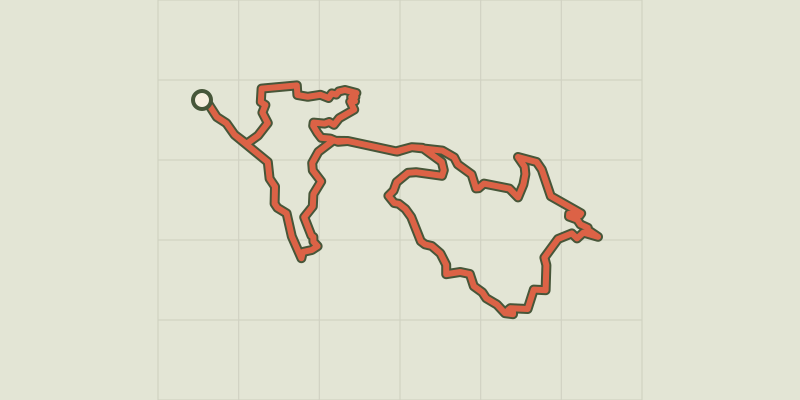 Plan IGN © IGN 2026Serre-Verger circuitÉcrins, Savines-le-Lac (05) · LoopOfficial rating by Parc national des Écrins