
Hiking GPX tracks in Provence-Alpes-Côte d'Azur (page 12)
743 GPX tracks in Provence-Alpes-Côte d'Azur, with distance, elevation gain and time for each track. Filter by department, sport, distance, elevation gain and time.
All GPX tracks in Provence-Alpes-Côte d'Azur

 © OpenStreetMap, SRTM · OpenTopoMap (CC-BY-SA)
La Brèche de Pacave
Écrins, La Grave (05) · LoopOfficial rating by Parc national des Écrins © OpenStreetMap, SRTM · OpenTopoMap (CC-BY-SA)
La cabane de Chouvet
Écrins, Vallouise-Pelvoux (05) · Out and backOfficial rating by Parc national des Écrins © OpenStreetMap, SRTM · OpenTopoMap (CC-BY-SA)
La cabane de Jas Lacroix
Écrins, Vallouise-Pelvoux (05) · Out and backOfficial rating by Parc national des Écrins © OpenStreetMap, SRTM · OpenTopoMap (CC-BY-SA)
The Cabane de Joubelle
Écrins, Saint-Apollinaire (05) · Out and backOfficial rating by Parc national des Écrins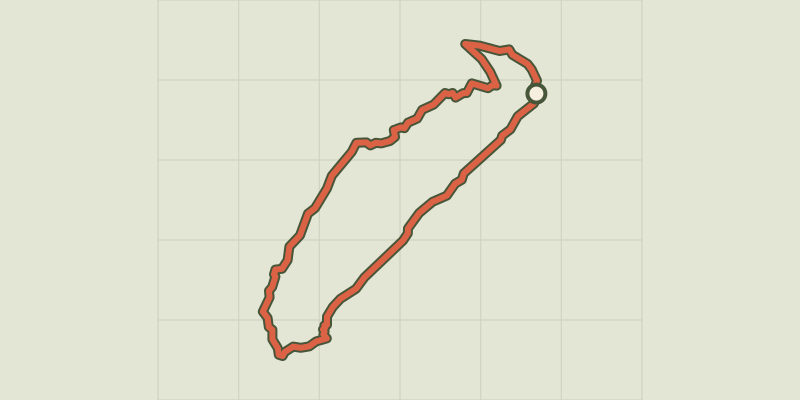 © OpenStreetMap, SRTM · OpenTopoMap (CC-BY-SA)
La cabane des Grands Plans
Écrins, Puy-Saint-Vincent (05) · LoopOfficial rating by Parc national des Écrins © OpenStreetMap, SRTM · OpenTopoMap (CC-BY-SA)
La Cadière-d'Azur - Le bois du Défends
Provence-Alpes-Côte d'Azur, La Cadière-d'Azur (83) · LoopOfficial rating by Parcs naturels régionaux de Provence-Alpes-Côte d'Azur © OpenStreetMap, SRTM · OpenTopoMap (CC-BY-SA)
La Cascade de Fontcouverte
Provence-Alpes-Côte d'Azur, Névache (05) · Out and backOfficial rating by Parc national des Écrins © OpenStreetMap, SRTM · OpenTopoMap (CC-BY-SA)
The Pissarotte waterfall
Écrins, Réallon (05) · LoopOfficial rating by Parc national des Écrins © OpenStreetMap, SRTM · OpenTopoMap (CC-BY-SA)
Cascade de la Pisse in Châteauroux-Les-Alpes
Écrins, Châteauroux-les-Alpes (05) · Out and backOfficial rating by Parc national des Écrins © OpenStreetMap, SRTM · OpenTopoMap (CC-BY-SA)
La cascade de la Pissette
Écrins, Vallouise-Pelvoux (05) · LoopOfficial rating by Parc national des Écrins © OpenStreetMap, SRTM · OpenTopoMap (CC-BY-SA)
The Prelles waterfall
Provence-Alpes-Côte d'Azur, Champoléon (05) · Out and backOfficial rating by Parc national des Écrins © OpenStreetMap, SRTM · OpenTopoMap (CC-BY-SA)
The Razis Waterfall
Provence-Alpes-Côte d'Azur, Crévoux (05) · LoopOfficial rating by Parc national des Écrins © OpenStreetMap, SRTM · OpenTopoMap (CC-BY-SA)
La cascade des Oules
Provence-Alpes-Côte d'Azur, Cervières (05) · Out and backOfficial rating by Parc national des Écrins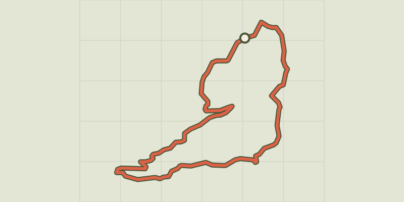 © OpenStreetMap, SRTM · OpenTopoMap (CC-BY-SA)
La Celle - Chemin d'Engardin
Provence-Alpes-Côte d'Azur, La Celle (83) · LoopOfficial rating by Parcs naturels régionaux de Provence-Alpes-Côte d'Azur © OpenStreetMap, SRTM · OpenTopoMap (CC-BY-SA)
La cime de la Condamine
Provence-Alpes-Côte d'Azur, Puy-Saint-André (05) · Out and backOfficial rating by Parc national des Écrins © OpenStreetMap, SRTM · OpenTopoMap (CC-BY-SA)
La Cime de Puy la Salle
Provence-Alpes-Côte d'Azur, La Salle-les-Alpes (05) · LoopOfficial rating by Parc national des Écrins © OpenStreetMap, SRTM · OpenTopoMap (CC-BY-SA)
La clairière du Lauzin
Provence-Alpes-Côte d'Azur, Villar-Saint-Pancrace (05) · LoopOfficial rating by Parc national des Écrins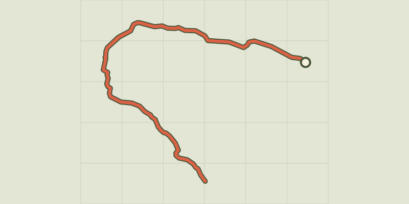 © OpenStreetMap, SRTM · OpenTopoMap (CC-BY-SA)
La Croix d'Aquila
Provence-Alpes-Côte d'Azur, Puy-Saint-André (05) · Out and backOfficial rating by Parc national des Écrins © OpenStreetMap, SRTM · OpenTopoMap (CC-BY-SA)
La Croix de Toulouse
Provence-Alpes-Côte d'Azur, Briançon (05) · Out and backOfficial rating by Parc national des Écrins © OpenStreetMap, SRTM · OpenTopoMap (CC-BY-SA)
The summit of Teillon
Verdon, La Garde (04) · Out and backOfficial rating by Parcs naturels régionaux de Provence-Alpes-Côte d'Azur © OpenStreetMap, SRTM · OpenTopoMap (CC-BY-SA)
The big Cuchon/Rouanne circuit
Écrins, Saint-Léger-les-Mélèzes (05) · LoopOfficial rating by Parc national des Écrins © OpenStreetMap, SRTM · OpenTopoMap (CC-BY-SA)
The Grande Cabane
Écrins, L'Argentière-la-Bessée (05) · Out and backOfficial rating by Parc national des Écrins © OpenStreetMap, SRTM · OpenTopoMap (CC-BY-SA)
La Martre - L'Avelanier
Verdon, La Martre (83) · LoopOfficial rating by Parcs naturels régionaux de Provence-Alpes-Côte d'Azur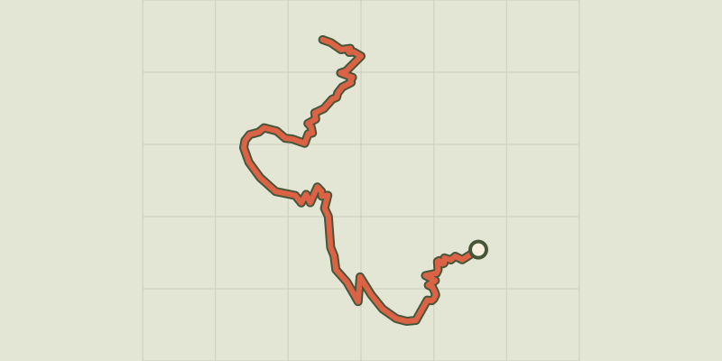 © OpenStreetMap, SRTM · OpenTopoMap (CC-BY-SA)
The climb at Dormillouse
Écrins, Freissinières (05) · Out and backOfficial rating by Parc national des Écrins