
The Pissarotte waterfall

Key facts
- Distance
- 2.0 km
- Ascent
- +99 m
- Descent
- −94 m
- Estimated time
- 40 min
- hiking
- Difficulty
- Very easy
- official rating
- Route
- Loop
- back to the start
Profile and gradient
- under 10%
- 10 to 20%
- over 20%
Gradient along the route: 1.1 km under 10%, 0.8 km at 10 to 20% and 0.1 km over 20%. Elevation from 1,471 m to 1,566 m over 2.0 km.
Description
After passing through the small hamlet of Les Gourniers, with its mountain architecture, a shady path leads to a platform from which you can admire this pretty waterfall, which flows all summer long. “In the height of summer, the Pissarotte waterfall acts like a misting system... A special moment guaranteed! In the afternoon, when the sunlight diffracts on the mist, a rainbow appears at the foot of the waterfall." Mireille Coulon, park ranger. Head towards the hamlet and cross it, following the signs to the waterfall. - Turn right after the last house, pass the marmite des géants and continue to the bridge over the Réallon stream. - From there, turn left and head up the path. - At the fork with signposts to the waterfall, take the path to the right and follow it to the overhanging platform. Take the same path back to the bridge, then continue straight ahead on the left bank to reach the car park via the little woodland discovery trail.
Difficulty
Official rating: very easy, by Parc national des Écrins.
Getting there
Start: Les Gourniers, Réallon, Réallon (05).
Sources
- Track: Parc national des Écrins, Licence Ouverte 2.0, Licence Ouverte 2.0 (Etalab) (destination.ecrins-parcnational.fr/trek/996197-La-cascade-de-la-Pissarotte). Time estimated by GPX Path with the Mac app rule, breaks not included.
- Official elevation gain: 99 m, Parc national des Écrins
Nearby tracks
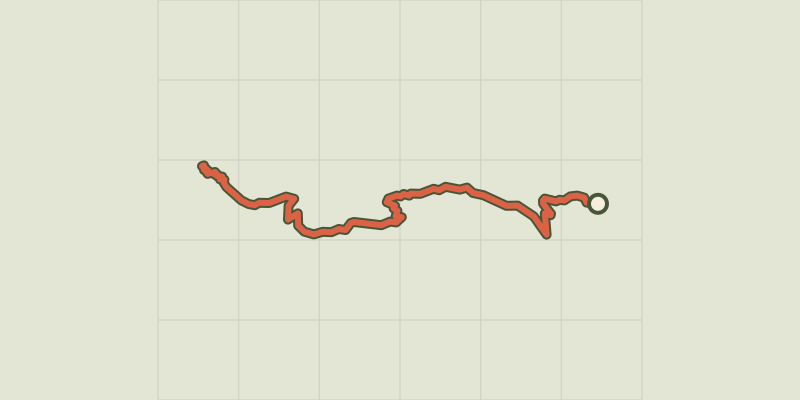
 © OpenStreetMap, SRTM · OpenTopoMap (CC-BY-SA)
Le col de la Coupa
Écrins, Réallon (05) · Out and backOfficial rating by Parc national des Écrins © OpenStreetMap, SRTM · OpenTopoMap (CC-BY-SA)
Les Gourniers discovery path
Écrins, Réallon (05) · LoopOfficial rating by Parc national des Écrins © OpenStreetMap, SRTM · OpenTopoMap (CC-BY-SA)
Oussella loop
Écrins, Réallon (05) · LoopOfficial rating by Parc national des Écrins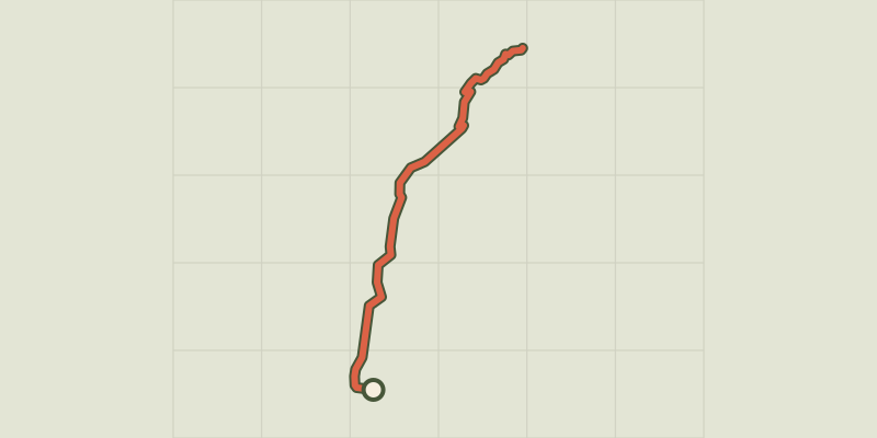 © OpenStreetMap, SRTM · OpenTopoMap (CC-BY-SA)
The chapel at Saint-Marcellin
Écrins, Réallon (05) · Out and backOfficial rating by Parc national des Écrins © OpenStreetMap, SRTM · OpenTopoMap (CC-BY-SA)
Chargès Valley
Écrins, Réallon (05) · Out and backOfficial rating by Parc national des Écrins © OpenStreetMap, SRTM · OpenTopoMap (CC-BY-SA)
The Chargès source
Écrins, Réallon (05) · Out and backOfficial rating by Parc national des Écrins