
La Mûre loop

Key facts
- Distance
- 3.3 km
- Ascent
- +57 m
- Descent
- −53 m
- Estimated time
- 50 min
- hiking
- Difficulty
- Very easy
- official rating
- Route
- Loop
- back to the start
Profile and gradient
- under 10%
- 10 to 20%
- over 20%
Gradient along the route: 3.1 km under 10% and 0.2 km at 10 to 20%. Elevation from 798 m to 853 m over 3.3 km.
Description
This easy route is ideal for family outings. Discover the many heritage wonders of the village of Baratier, before making your way in no time at all to the tranquillity and charm of the country lanes. From the car park, cross the bridge to the village square. - Take the road to the right, after skirting the wall and passing the church, turn right onto the path, towards La Mûre and Clapier des Monges. At the crossroads, cross the road and go straight ahead. Then turn right towards Plaine du Liou. A few metres further on, take the left-hand path. At the next crossroads, go straight ahead towards the Canal. - At the crossroads at the canal, turn left towards Clapiers de Monges . After passing the archaeological site, continue along the canal. - At the fork in the road, turn left and head for the village square. From this crossroads, continue straight ahead to return to the car park.
Difficulty
Official rating: very easy, by Parc national des Écrins.
Getting there
Start: Entrée du village, Baratier, Baratier (05).
Sources
- Track: Parc national des Écrins, Licence Ouverte 2.0, Licence Ouverte 2.0 (Etalab) (destination.ecrins-parcnational.fr/trek/974135-Boucle-de-la-Mure). Time estimated by GPX Path with the Mac app rule, breaks not included.
- Official elevation gain: 57 m, Parc national des Écrins
Nearby tracks

 © OpenStreetMap, SRTM · OpenTopoMap (CC-BY-SA)
Plat Aiguille loop
Provence-Alpes-Côte d'Azur, Baratier (05) · LoopOfficial rating by Parc national des Écrins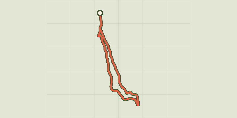 © OpenStreetMap, SRTM · OpenTopoMap (CC-BY-SA)
The Vurbaye loop
Provence-Alpes-Côte d'Azur, Baratier (05) · LoopOfficial rating by Parc national des Écrins © OpenStreetMap, SRTM · OpenTopoMap (CC-BY-SA)
The Liou wetland
Écrins, Baratier (05) · Out and backOfficial rating by Parc national des Écrins © OpenStreetMap, SRTM · OpenTopoMap (CC-BY-SA)
[Sens Action] - The thousand waterfalls
Provence-Alpes-Côte d'Azur, Baratier (05) · LoopOfficial rating by Parc national des Écrins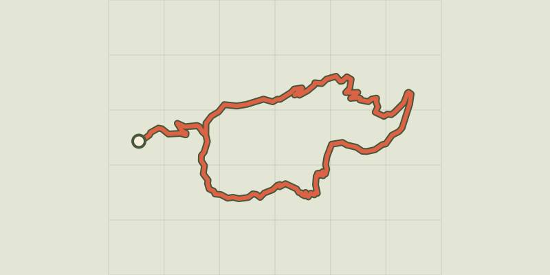 © OpenStreetMap, SRTM · OpenTopoMap (CC-BY-SA)
Le Clot de l'Aigue
Provence-Alpes-Côte d'Azur, Saint-Sauveur (05) · LoopOfficial rating by Parc national des Écrins © OpenStreetMap, SRTM · OpenTopoMap (CC-BY-SA)
Lake
Écrins, Embrun (05) · LoopOfficial rating by Parc national des Écrins