
[Sens Action] - The thousand waterfalls

Key facts
- Distance
- 1.7 km
- Ascent
- +82 m
- Descent
- −77 m
- Estimated time
- 35 min
- hiking
- Difficulty
- Very easy
- official rating
- Route
- Loop
- back to the start
Profile and gradient
- under 10%
- 10 to 20%
- over 20%
Gradient along the route: 1.2 km under 10% and 0.5 km at 10 to 20%. Elevation from 982 m to 1,064 m over 1.7 km.
Description
The "sens'action" trail, a hike with games, or how the mountains come alive with the whole family! Find the "story caches", talk to the heroes of our mountains and take on dozens of challenges. From 6 years and above. Mankind has created immense waterfalls under the shadows of the Pouzenc forest. So likewise try to control the force of the water and measure its purity. Set off in search of the inhabitants of the Vachères stream and meet the spirit of the place, the legendary Abiès Pinsapo. From the car park, take the path to the right of the second hydroelectric plant . - Pass under the penstock and continue climbing. - Head along the weirs that form the cascades of the Vachères stream. - Cross the Vachères stream on the footbridge: one person at a time. - Climb slightly and take the track on the right. - Follow the signs down to the car park. Game instructions: When you come across a marker, look for a "story cache" within a circle of 20 paces around you. Once you've found the "cache", take a break and discover the adventures of our heroes! Complete the "Sens action" challenges, close and replace the "cache" before continuing. Be prepared, and set off equipped for the hike. Walking and game times are given as a guide and calculated for children aged 6 and over. Level difference: + 100m Game time: 2h30 Walking time: 1h30 Equipment: pocket knife and string Markings: yellow Sens'action 5
Difficulty
Official rating: very easy, by Parc national des Écrins.
Getting there
Start: Parking à coté de l'usine EDF, Baratier (05).
Sources
- Track: Parc national des Écrins, Licence Ouverte 2.0, Licence Ouverte 2.0 (Etalab) (destination.ecrins-parcnational.fr/trek/995343-%5BSens-Action%5D---Les-mille-cascades). Time estimated by GPX Path with the Mac app rule, breaks not included.
- Official elevation gain: 82 m, Parc national des Écrins
Nearby tracks
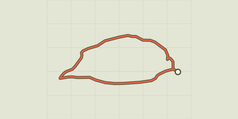
 © OpenStreetMap, SRTM · OpenTopoMap (CC-BY-SA)
La Mûre loop
Provence-Alpes-Côte d'Azur, Baratier (05) · LoopOfficial rating by Parc national des Écrins © OpenStreetMap, SRTM · OpenTopoMap (CC-BY-SA)
Plat Aiguille loop
Provence-Alpes-Côte d'Azur, Baratier (05) · LoopOfficial rating by Parc national des Écrins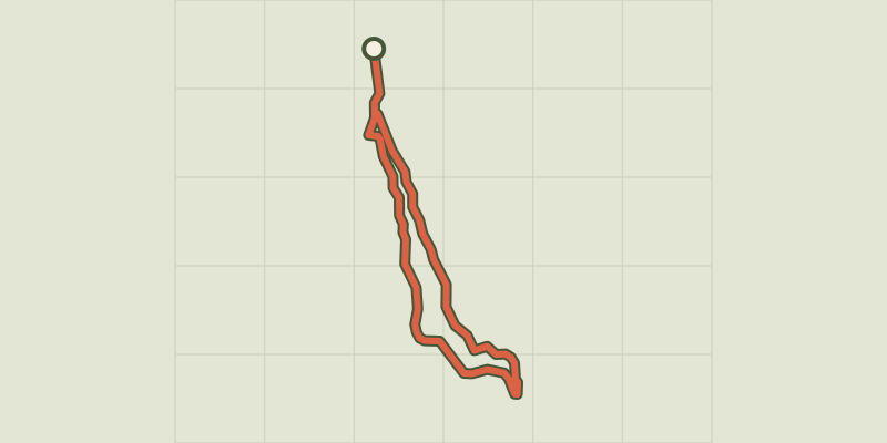 © OpenStreetMap, SRTM · OpenTopoMap (CC-BY-SA)
The Vurbaye loop
Provence-Alpes-Côte d'Azur, Baratier (05) · LoopOfficial rating by Parc national des Écrins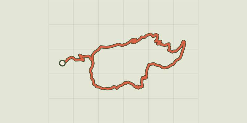 © OpenStreetMap, SRTM · OpenTopoMap (CC-BY-SA)
Le Clot de l'Aigue
Provence-Alpes-Côte d'Azur, Saint-Sauveur (05) · LoopOfficial rating by Parc national des Écrins © OpenStreetMap, SRTM · OpenTopoMap (CC-BY-SA)
Le Méale
Provence-Alpes-Côte d'Azur, Saint-Sauveur (05) · LoopOfficial rating by Parc national des Écrins © OpenStreetMap, SRTM · OpenTopoMap (CC-BY-SA)
The Liou wetland
Écrins, Baratier (05) · Out and backOfficial rating by Parc national des Écrins